Tappisaki tōdai Lighthouse things to do, attractions, restaurants, events info and trip planning
Basic Info
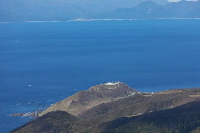
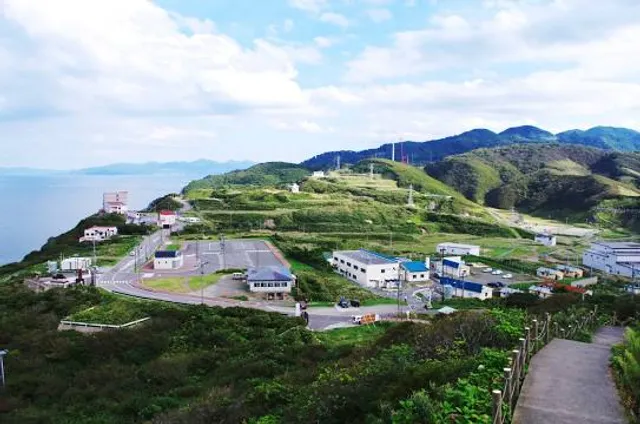
Tappisaki tōdai Lighthouse
Minmayatatsuhama, Sotogahama, Higashitsugaru District, Aomori 030-1711, Japan
4.2(168)
Open 24 hours
Save
spot
spot
Ratings & Description
Info
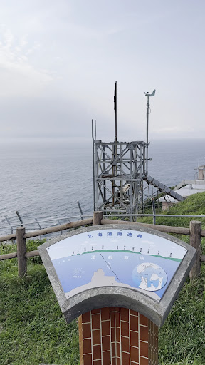
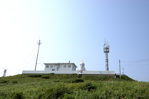
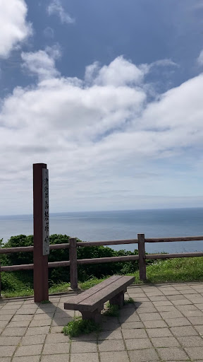
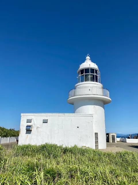
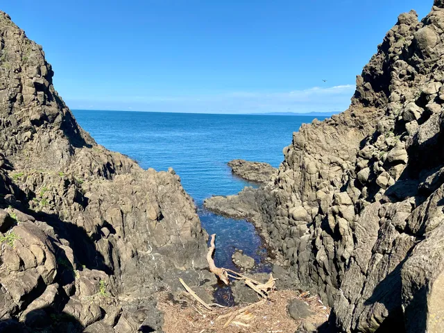
Tappizaki Lighthouse is a lighthouse located on the outermost extremity of Cape Tappi, the northernmost point of Tsugaru Peninsula, Honshu, in Sotogahama, Aomori Prefecture, Japan. It is located within the Tsugaru Quasi-National Park and on clear days, Hokkaido can be seen across the Tsugaru Strait.
Scenic
Outdoor
Cultural
attractions: Cape Tappi, National Highway of Stairs 339 Upper End, Monument of the Popular Song "Tsugaru Kaikyō Fuyugeshiki" (Minmaya, Sotogahama Town), Seikan Tunnel Museum, Seikan Tunnel Tappi diagonal line, restaurants: レストハウス龍飛 寿恵盛屋, Shokujidokoro KAIKYOU, local businesses: Michinoeki Minmaya Tappizaki, Tai Island
Website
kaiho.mlit.go.jp
Plan your stay

Pet-friendly Hotels in Sotogahama
Find a cozy hotel nearby and make it a full experience.

Affordable Hotels in Sotogahama
Find a cozy hotel nearby and make it a full experience.

The Coolest Hotels You Haven't Heard Of (Yet)
Find a cozy hotel nearby and make it a full experience.

Trending Stays Worth the Hype in Sotogahama
Find a cozy hotel nearby and make it a full experience.
Reviews
Nearby attractions of Tappisaki tōdai Lighthouse
Cape Tappi
National Highway of Stairs 339 Upper End
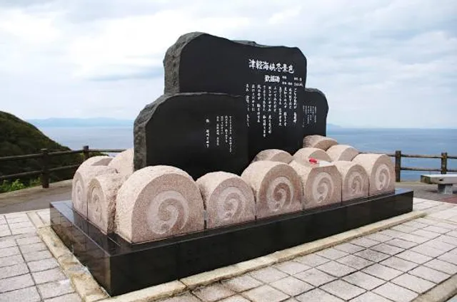
Monument of the Popular Song "Tsugaru Kaikyō Fuyugeshiki" (Minmaya, Sotogahama Town)
Seikan Tunnel Museum
Seikan Tunnel Tappi diagonal line
Cape Tappi
4.3
(1.4K)
Open until 12:00 AM
Click for details
National Highway of Stairs 339 Upper End
4.1
(263)
Open until 12:00 AM
Click for details
Monument of the Popular Song "Tsugaru Kaikyō Fuyugeshiki" (Minmaya, Sotogahama Town)
4.3
(356)
Open until 12:00 AM
Click for details

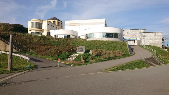
Seikan Tunnel Museum
4.2
(509)
Closed
Click for details
Nearby restaurants of Tappisaki tōdai Lighthouse
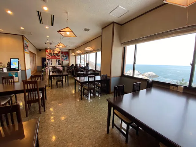
レストハウス龍飛 寿恵盛屋
Shokujidokoro KAIKYOU
レストハウス龍飛 寿恵盛屋
4.3
(113)
Click for details
Shokujidokoro KAIKYOU
3.8
(38)
Closed
Click for details
Nearby local services of Tappisaki tōdai Lighthouse
Michinoeki Minmaya Tappizaki
Tai Island
Michinoeki Minmaya Tappizaki
3.6
(269)
Click for details
Tai Island
4.0
(10)
Click for details