Jungle Trail 10 things to do, attractions, restaurants, events info and trip planning

Basic Info
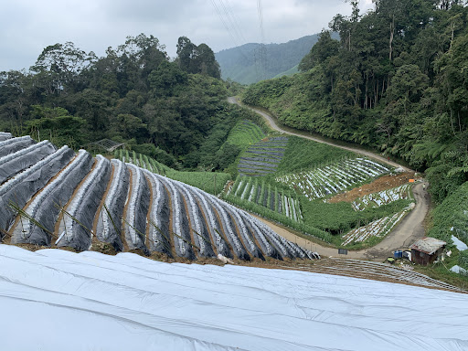
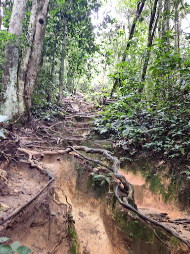
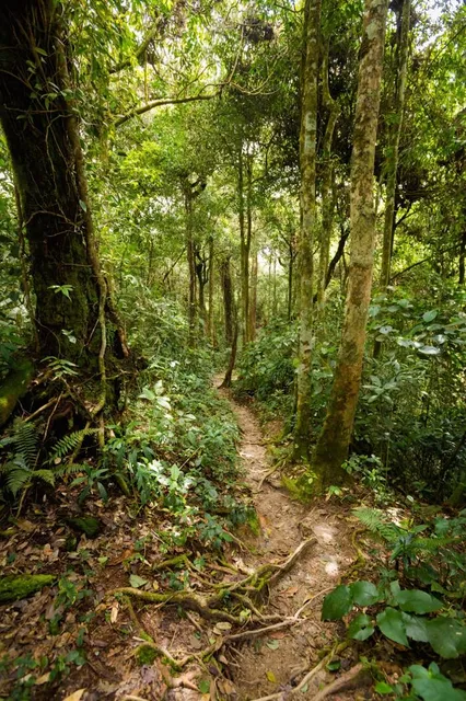
Jungle Trail 10
Tanah Rata, 39000 Tanah Rata, Pahang, Malaysia
4.3(189)
Open 24 hours
Save
spot
spot
Ratings & Description
Info
Outdoor
Adventure
Scenic
Off the beaten path
Pet friendly
attractions: Tan's Camellia Garden, restaurants: Rich Bake Cake & Coffee House, Hot Pot Time Restaurant, Growing Seed Cafe, Yuan Wei Seafood, Anis Tomyam, Rainforest Restaurant, local businesses: Gunung Jasar
Website
hikersforlife.com
Plan your stay

Pet-friendly Hotels in Pahang
Find a cozy hotel nearby and make it a full experience.

Affordable Hotels in Pahang
Find a cozy hotel nearby and make it a full experience.

The Coolest Hotels You Haven't Heard Of (Yet)
Find a cozy hotel nearby and make it a full experience.

Trending Stays Worth the Hype in Pahang
Find a cozy hotel nearby and make it a full experience.
Reviews
Nearby attractions of Jungle Trail 10
Tan's Camellia Garden
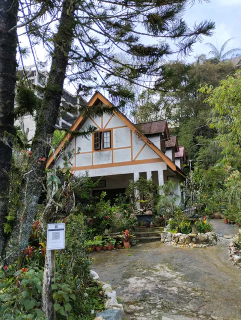
Tan's Camellia Garden
4.1
(171)
Open 24 hours
Click for details
Nearby restaurants of Jungle Trail 10
Rich Bake Cake & Coffee House
Hot Pot Time Restaurant
Growing Seed Cafe
Yuan Wei Seafood
Anis Tomyam
Rainforest Restaurant
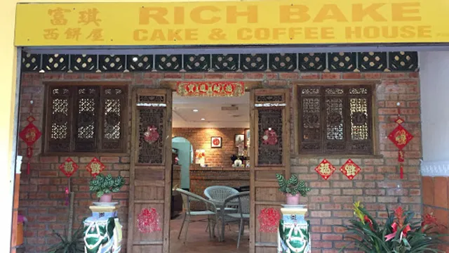
Rich Bake Cake & Coffee House
4.5
(59)
Closed
Click for details

Hot Pot Time Restaurant
4.5
(368)
Closed
Click for details

Growing Seed Cafe
4.7
(225)
Closed
Click for details
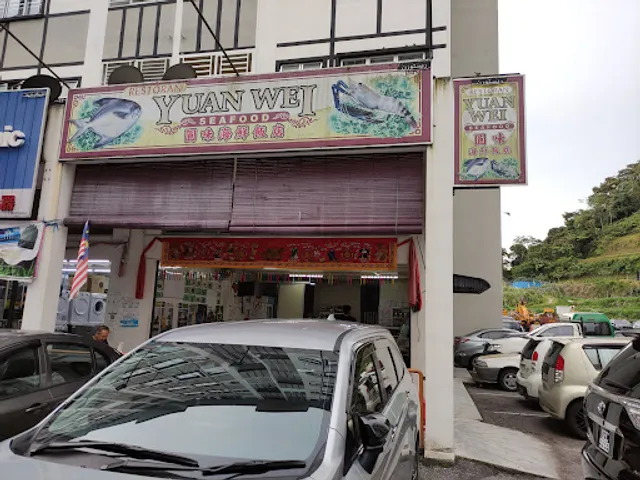
Yuan Wei Seafood
4.3
(71)
Closed
Click for details
Nearby local services of Jungle Trail 10
Gunung Jasar
Gunung Jasar
4.5
(43)
Click for details