Mannen Haukland things to do, attractions, restaurants, events info and trip planning

Basic Info
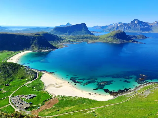
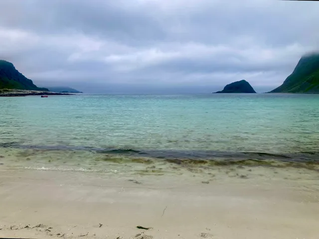
Mannen Haukland
Uttakleivveien 200, 8370 Leknes, Norway
4.9(137)
Open until 12:00 AM
Save
spot
spot
Ratings & Description
Info
Outdoor
Adventure
Scenic
Pet friendly
attractions: Hauklandstranda, Haukland Beach, Uttakleiv beach, restaurants: Haukland Beach Café, local businesses: Haukland Beach, Parking - Hauklandstranda, Haukland Beach House, Uttakleiv RV Parking, Uttakleiv camping (parking fee - WC, water, RV toilet dump)
Open hoursSee all hours
SatOpen 24 hoursOpen
Plan your stay

Pet-friendly Hotels in Vestvågøy
Find a cozy hotel nearby and make it a full experience.

Affordable Hotels in Vestvågøy
Find a cozy hotel nearby and make it a full experience.

The Coolest Hotels You Haven't Heard Of (Yet)
Find a cozy hotel nearby and make it a full experience.

Trending Stays Worth the Hype in Vestvågøy
Find a cozy hotel nearby and make it a full experience.
Reviews
Live events
Winter on the farm with animals and local dinner
Sat, Feb 7 • 6:00 PM
8340, Vestvågøy, Norway
View details
Nearby attractions of Mannen Haukland
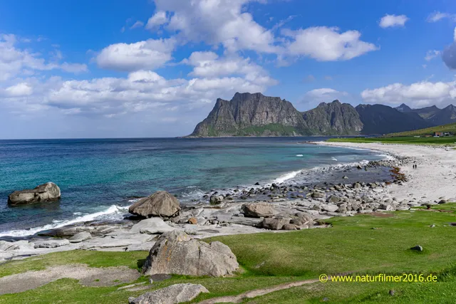
Hauklandstranda
Haukland Beach
Uttakleiv beach
Hauklandstranda
4.8
(772)
Open 24 hours
Click for details

Haukland Beach
4.7
(252)
Open until 12:00 AM
Click for details
Uttakleiv beach
4.7
(137)
Open 24 hours
Click for details
Nearby restaurants of Mannen Haukland
Haukland Beach Café
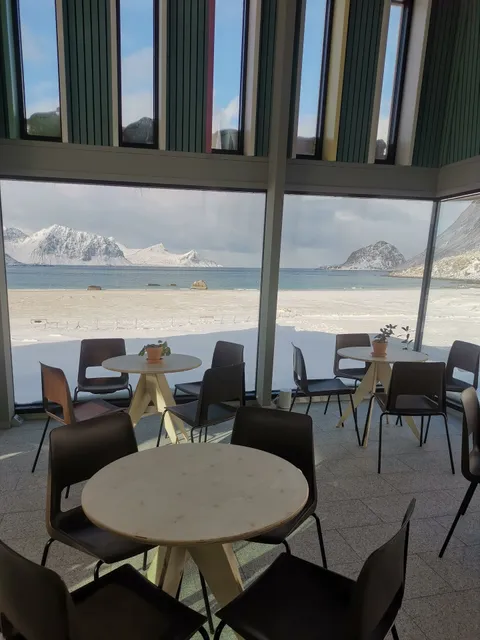
Haukland Beach Café
4.3
(63)
Open until 3:00 PM
Click for details
Nearby local services of Mannen Haukland
Haukland Beach
Parking - Hauklandstranda
Haukland Beach House
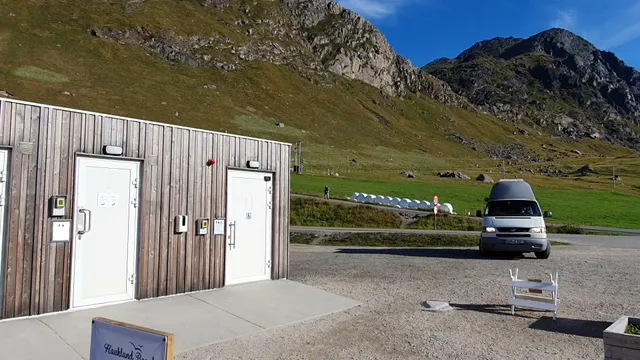
Uttakleiv RV Parking
Uttakleiv camping (parking fee - WC, water, RV toilet dump)

Haukland Beach
4.8
(693)
Click for details
Parking - Hauklandstranda
4.2
(33)
Click for details
Haukland Beach House
4.5
(28)
Click for details
Uttakleiv RV Parking
3.6
(60)
Click for details