Lake Blanche Trailhead things to do, attractions, restaurants, events info and trip planning
Basic Info
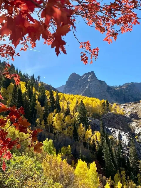
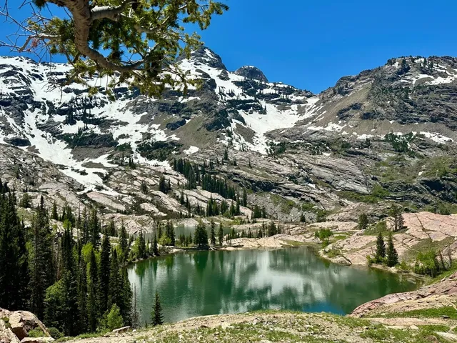
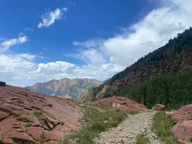
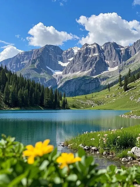
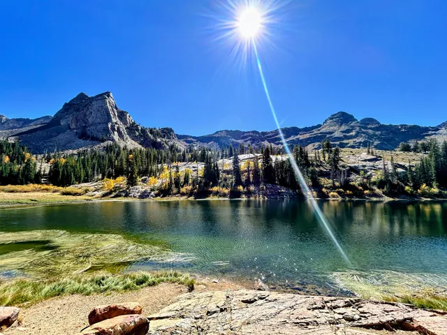
Lake Blanche Trailhead
Brighton, UT 84121
4.8(413)
Open until 12:00 AM
Save
spot
spot
Ratings & Description
Info
Outdoor
Adventure
Scenic
attractions: Hidden Falls, Moss Ledge Waterfall and Picnic Area, restaurants: , local businesses: Hidden Falls
Open hoursSee all hours
FriOpen 24 hoursOpen
Plan your stay

Pet-friendly Hotels in Cottonwood Heights
Find a cozy hotel nearby and make it a full experience.

Affordable Hotels in Cottonwood Heights
Find a cozy hotel nearby and make it a full experience.

The Coolest Hotels You Haven't Heard Of (Yet)
Find a cozy hotel nearby and make it a full experience.

Trending Stays Worth the Hype in Cottonwood Heights
Find a cozy hotel nearby and make it a full experience.
Reviews
Live events

Slopes Serves Meals 2026 (Formerly One Million Meals)
Wed, Feb 4 • 9:00 AM
100 South West Temple Street Salt Lake City, UT 84101
View details

Crystal Tones® World - Alchemy Crystal Singing Bowls® Sound Bath
Fri, Feb 6 • 5:30 PM
5684 South 900 East Murray, UT 84121
View details

Utah Black History Presentation: Women of the Green Book
Sat, Feb 7 • 1:00 PM
1354 East Chambers Avenue Millcreek, UT 84106
View details
Nearby attractions of Lake Blanche Trailhead
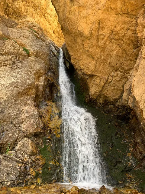
Hidden Falls
Moss Ledge Waterfall and Picnic Area
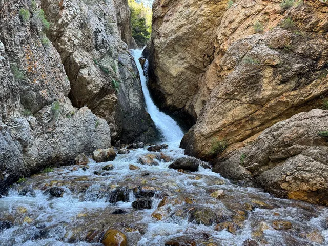
Hidden Falls
4.8
(109)
Open until 10:00 PM
Click for details
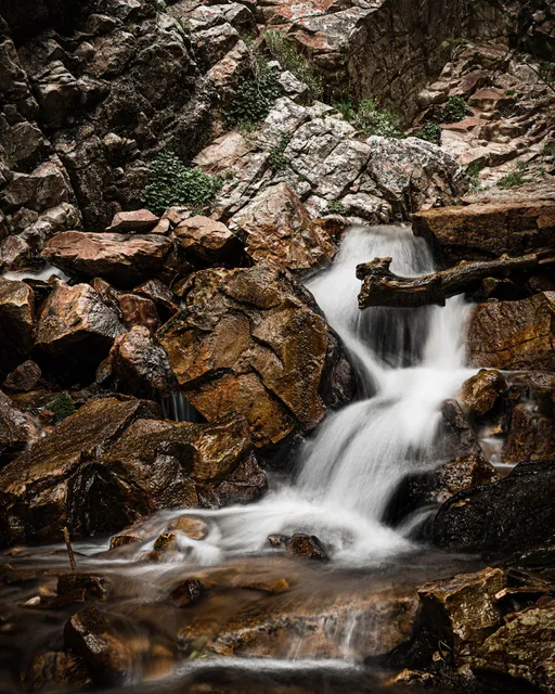
Moss Ledge Waterfall and Picnic Area
4.7
(85)
Open until 4:30 PM
Click for details
Nearby local services of Lake Blanche Trailhead
Hidden Falls
Hidden Falls
4.8
(30)
Click for details