White River Valley Trail System things to do, attractions, restaurants, events info and trip planning
Basic Info
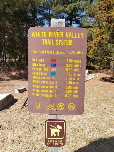
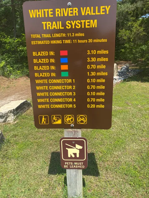
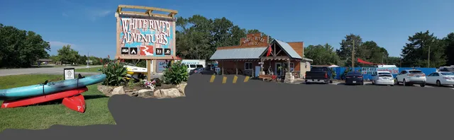
White River Valley Trail System
5325 Historic Hwy 165, Branson, MO 65616
4.6(105)
Open 24 hours
Save
spot
spot
Ratings & Description
Info
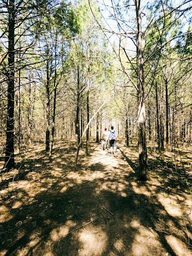
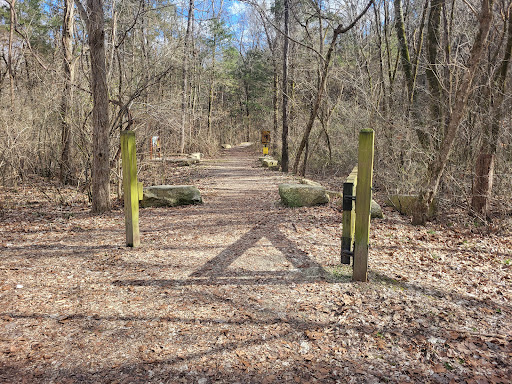
Outdoor
Adventure
Scenic
Pet friendly
Family friendly
Off the beaten path
attractions: Showboat Branson Belle, Table Rock State Park, White River Landing, Bike Branson, Table Rock Lakeshore Trail, Dewey Short Visitor Center, restaurants: Lake Vibez - Branson, local businesses: White River Dive Co.
Phone
(417) 334-4704
Website
mostateparks.com
Plan your stay

Pet-friendly Hotels in Missouri
Find a cozy hotel nearby and make it a full experience.

Affordable Hotels in Missouri
Find a cozy hotel nearby and make it a full experience.

The Coolest Hotels You Haven't Heard Of (Yet)
Find a cozy hotel nearby and make it a full experience.

Trending Stays Worth the Hype in Missouri
Find a cozy hotel nearby and make it a full experience.
Reviews
Live events

Business Analytics Certification (CBAP) Training in Springfield, MO
Tue, Feb 10 • 9:00 AM
2800 West 76 Country Boulevard, Branson, MO 65616
View details
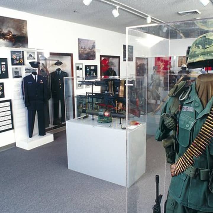
Branson Veterans Memorial Museum Admission
Tue, Feb 10 • 9:00 AM
1250 W 76 Country Blvd, Branson, 65616
View details
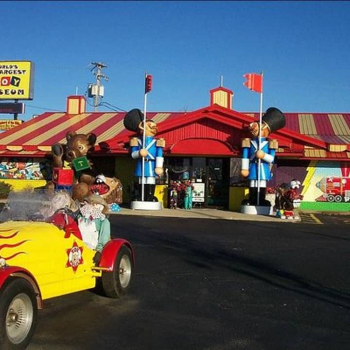
Worlds Largest Toy Museum Admission in Branson
Tue, Feb 10 • 10:00 AM
3609 West 76 Country Boulevard, Branson, 65616
View details
Nearby attractions of White River Valley Trail System
Showboat Branson Belle
Table Rock State Park
White River Landing
Bike Branson
Table Rock Lakeshore Trail
Dewey Short Visitor Center

Showboat Branson Belle
4.6
(3.8K)
Open 24 hours
Click for details

Table Rock State Park
4.7
(592)
Open 24 hours
Click for details
White River Landing
4.7
(271)
Open 24 hours
Click for details

Bike Branson
5.0
(58)
Open until 5:00 PM
Click for details
Nearby restaurants of White River Valley Trail System
Lake Vibez - Branson
Lake Vibez - Branson
4.3
(140)
$
Open until 10:00 PM
Click for details
Nearby local services of White River Valley Trail System
White River Dive Co.
White River Dive Co.
4.9
(69)
Click for details