Pu'u Ma'eli'eli Trail things to do, attractions, restaurants, events info and trip planning

Basic Info
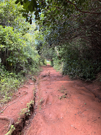
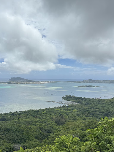
Pu'u Ma'eli'eli Trail
279 Kahekili Hwy, Kaneohe, HI 96744, United States
4.6(159)
Open 24 hours
Save
spot
spot
Ratings & Description
Info
Outdoor
Adventure
Scenic
Family friendly
Pet friendly
attractions: ʻĀhuimanu Community Park, restaurants: Chile Relleno, Times Coffee Shop, Koolau Drive Inn, McDonald's, Ninja Sushi Koʻolau, Temple Valley Chinese Restaurant, Subway, local businesses: Valley of the Temples Memorial Park, Cemetery, Cremation, Funeral, Times Supermarket - Koolau, Byodo-In Temple, The Tomb of General Chang Hsueh Liang and Edith Chao Chang, Hawaiian Memorial Park Mortuary, Dream Weddings by Steve
Plan your stay

Pet-friendly Hotels in Oʻahu
Find a cozy hotel nearby and make it a full experience.

Affordable Hotels in Oʻahu
Find a cozy hotel nearby and make it a full experience.

The Coolest Hotels You Haven't Heard Of (Yet)
Find a cozy hotel nearby and make it a full experience.

Trending Stays Worth the Hype in Oʻahu
Find a cozy hotel nearby and make it a full experience.
Reviews
Live events

Surfing Lesson & Coffee on Waikiki Beach
Thu, Feb 26 • 8:30 AM
Honolulu, Hawaii, 96815
View details

Candlelight: Tribute to Fleetwood Mac
Fri, Feb 27 • 6:30 PM
229 Queen Emma Square, Honolulu, 96813
View details
Experience Hawaii with Waterfall & Epic Sights
Sat, Feb 28 • 7:00 AM
Honolulu, Hawaii, 96815, United States
View details
Nearby attractions of Pu'u Ma'eli'eli Trail
ʻĀhuimanu Community Park
ʻĀhuimanu Community Park
4.4
(34)
Closed
Click for details
Nearby restaurants of Pu'u Ma'eli'eli Trail
Chile Relleno
Times Coffee Shop
Koolau Drive Inn
McDonald's
Ninja Sushi Koʻolau
Temple Valley Chinese Restaurant
Subway
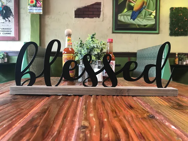
Chile Relleno
4.6
(450)
$
Closed
Click for details
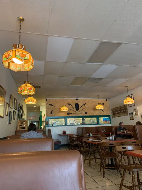
Times Coffee Shop
4.5
(137)
$
Closed
Click for details
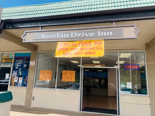
Koolau Drive Inn
4.5
(91)
$
Closed
Click for details
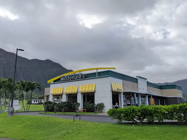
McDonald's
3.6
(609)
$
Closed
Click for details
Nearby local services of Pu'u Ma'eli'eli Trail
Valley of the Temples Memorial Park, Cemetery, Cremation, Funeral
Times Supermarket - Koolau
Byodo-In Temple
The Tomb of General Chang Hsueh Liang and Edith Chao Chang
Hawaiian Memorial Park Mortuary
Dream Weddings by Steve

Valley of the Temples Memorial Park, Cemetery, Cremation, Funeral
4.7
(477)
Click for details

Times Supermarket - Koolau
4.4
(173)
Click for details
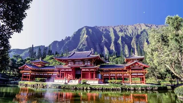
Byodo-In Temple
4.7
(3.2K)
Click for details
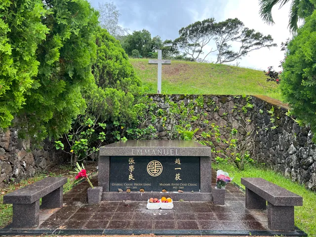
The Tomb of General Chang Hsueh Liang and Edith Chao Chang
4.4
(37)
Click for details