Glacier Point Trailhead things to do, attractions, restaurants, events info and trip planning
Basic Info
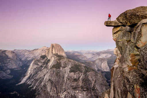
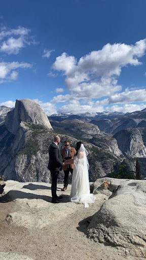
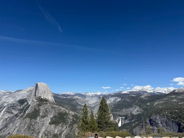
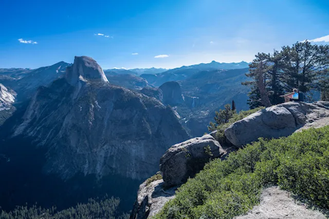
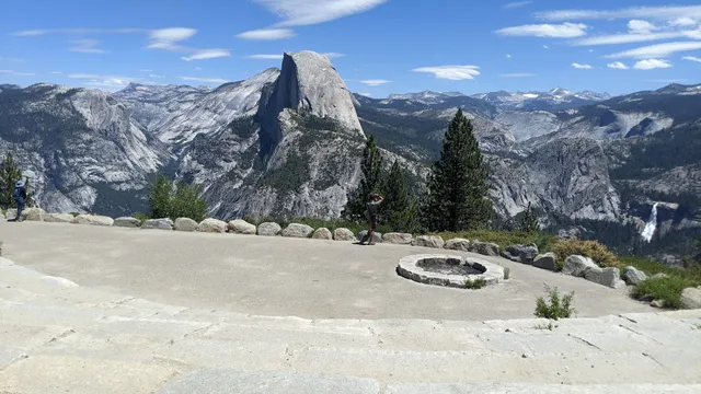
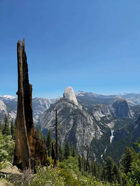
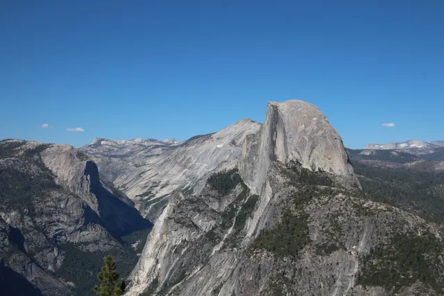
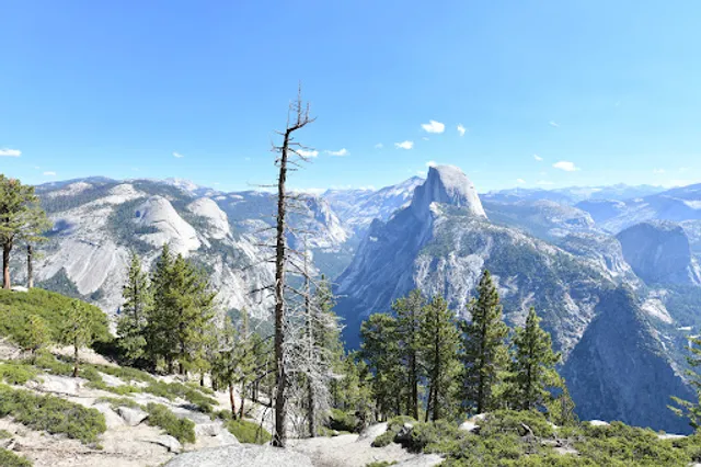
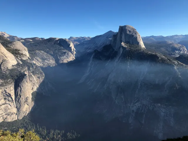
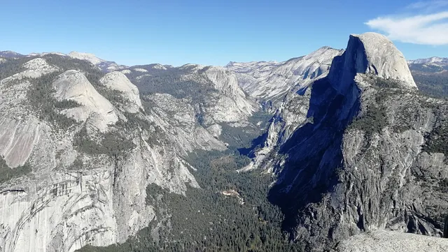
Glacier Point Trailhead
5202 Glacier Point Rd, TUOLUMNE MEADOWS, CA 95389
4.8(147)
Open until 12:00 AM
Save
spot
spot
Ratings & Description
Info
Outdoor
Scenic
Adventure
Family friendly
attractions: Glacier Point, Glacier Point Amphitheater, Panorama And Pohono Trailheads, Glacier Point Geology Hut - “Trailside Museum”, Four Mile Trailhead, Washburn Point, restaurants: , local businesses: Glacier Point, Glacier Point Restroom, Glacier Point, Staircase Falls
Phone
(209) 372-0200
Website
nps.gov
Open hoursSee all hours
TueOpen 24 hoursOpen
Plan your stay

Pet-friendly Hotels in Oakhurst
Find a cozy hotel nearby and make it a full experience.

Affordable Hotels in Oakhurst
Find a cozy hotel nearby and make it a full experience.

The Coolest Hotels You Haven't Heard Of (Yet)
Find a cozy hotel nearby and make it a full experience.

Trending Stays Worth the Hype in Oakhurst
Find a cozy hotel nearby and make it a full experience.
Reviews
Live events

Yosemite National Park - One Way Trip
Tue, Feb 10 • 6:20 AM
478 Post St, San Francisco, 94102
View details
Nearby attractions of Glacier Point Trailhead
Glacier Point
Glacier Point Amphitheater
Panorama And Pohono Trailheads
Glacier Point Geology Hut - “Trailside Museum”
Four Mile Trailhead
Washburn Point
Glacier Point
4.9
(153)
Open 24 hours
Click for details
Glacier Point Amphitheater
5.0
(42)
Open 24 hours
Click for details
Panorama And Pohono Trailheads
5.0
(14)
Open until 12:00 AM
Click for details
Glacier Point Geology Hut - “Trailside Museum”
4.9
(24)
Open 24 hours
Click for details
Nearby local services of Glacier Point Trailhead
Glacier Point
Glacier Point Restroom
Glacier Point
Staircase Falls
Glacier Point
5.0
(187)
Click for details
Glacier Point Restroom
4.4
(8)
Click for details
Glacier Point
4.6
(6)
Click for details
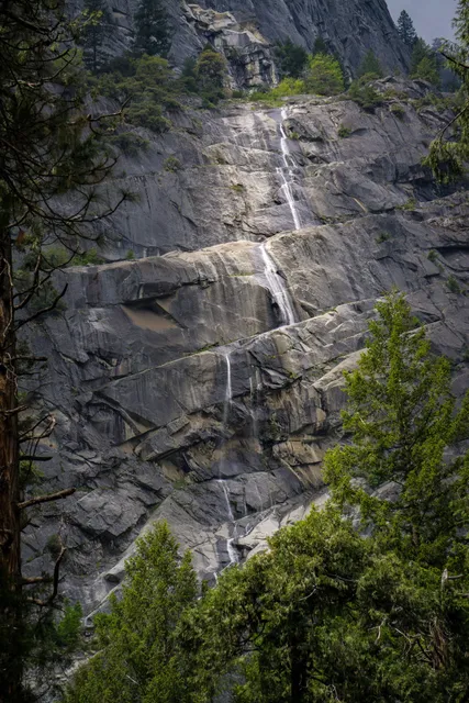
Staircase Falls
4.0
(5)
Click for details