Montclair Railroad Trail things to do, attractions, restaurants, events info and trip planning

Basic Info
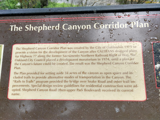
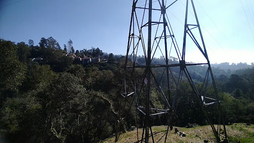
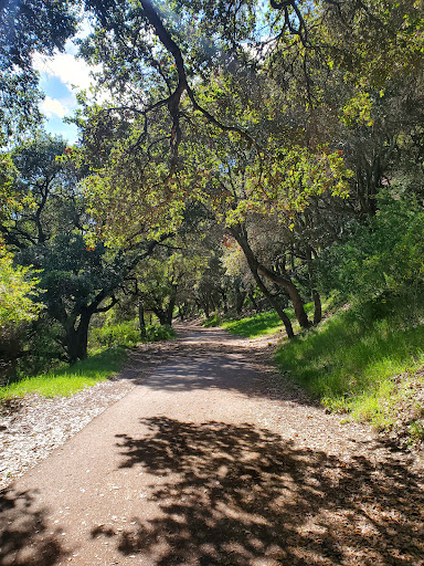
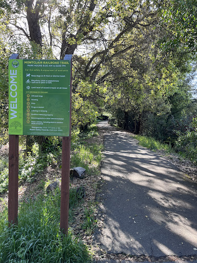
Montclair Railroad Trail
1901-1903 Asilomar Dr, Oakland, CA 94611
4.7(60)
Open until 12:00 AM
Save
spot
spot
Ratings & Description
Info
Outdoor
Scenic
Adventure
Pet friendly
Family friendly
attractions: Shepherd Canyon Park, Montclair Park, restaurants: Daughter Thai Kitchen, El Agavero Restaurant & Tequila Bar, Italian Colors, Perle Bar, Montclair Egg Shop, Kakui Sushi, Taqueria Las Comadres, Sophie's Cuppa Tea, Pagarung Thai Cuisine, Grinders Submarine Sandwiches, local businesses: Montclair Village Farmers' Market, Montclair Photo, Montclair plaza, Orangetheory Fitness, Tutu School Montclair, Montclair Barber Shop, Le Bonbon, Sola Lucy Consignment, Annie's Hallmark Shop, Montclair Toyhouse
Phone
(510) 615-5566
Website
montclairrrtrail.org
Open hoursSee all hours
FriOpen 24 hoursOpen
Plan your stay

Pet-friendly Hotels in Oakland
Find a cozy hotel nearby and make it a full experience.

Affordable Hotels in Oakland
Find a cozy hotel nearby and make it a full experience.

The Coolest Hotels You Haven't Heard Of (Yet)
Find a cozy hotel nearby and make it a full experience.

Trending Stays Worth the Hype in Oakland
Find a cozy hotel nearby and make it a full experience.
Reviews
Live events
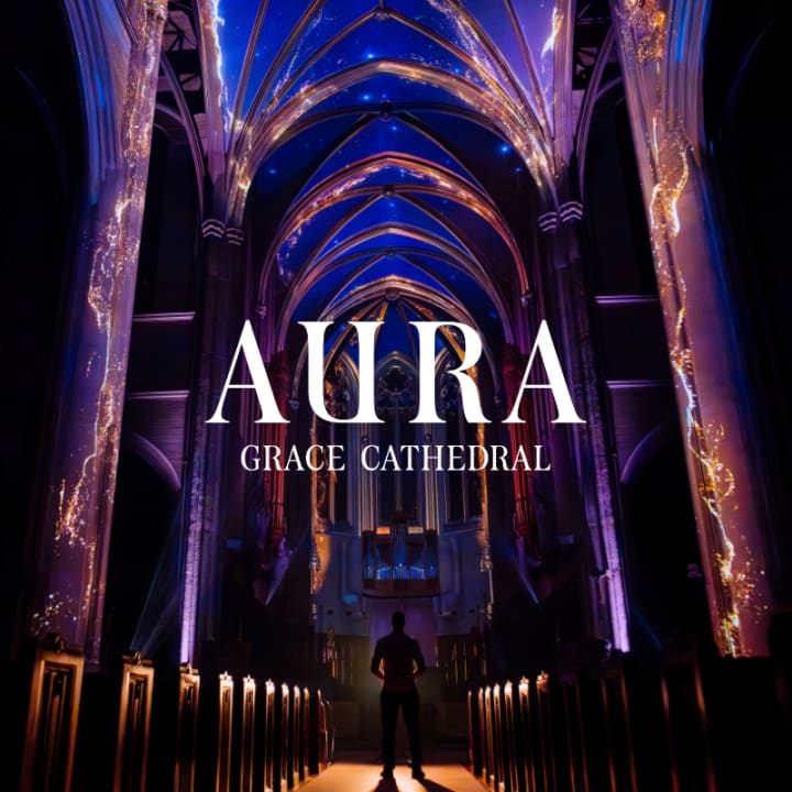
AURA: An Immersive Odyssey of Breathtaking Proportions
Sat, Feb 14 • 6:00 PM
1100 California St, San Francisco, CA, 94108
View details
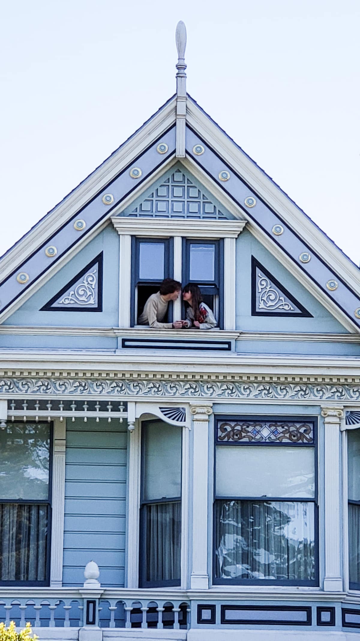
Explore an Iconic Painted Lady
Sat, Feb 14 • 4:00 PM
San Francisco, California, 94117
View details

Artists Live Here: Community Convening
Fri, Feb 13 • 4:00 PM
934 Brannan St San Francisco, CA 94103
View details
Nearby attractions of Montclair Railroad Trail
Shepherd Canyon Park
Montclair Park
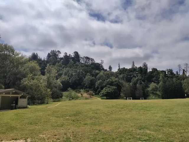
Shepherd Canyon Park
4.4
(118)
Open until 10:00 PM
Click for details
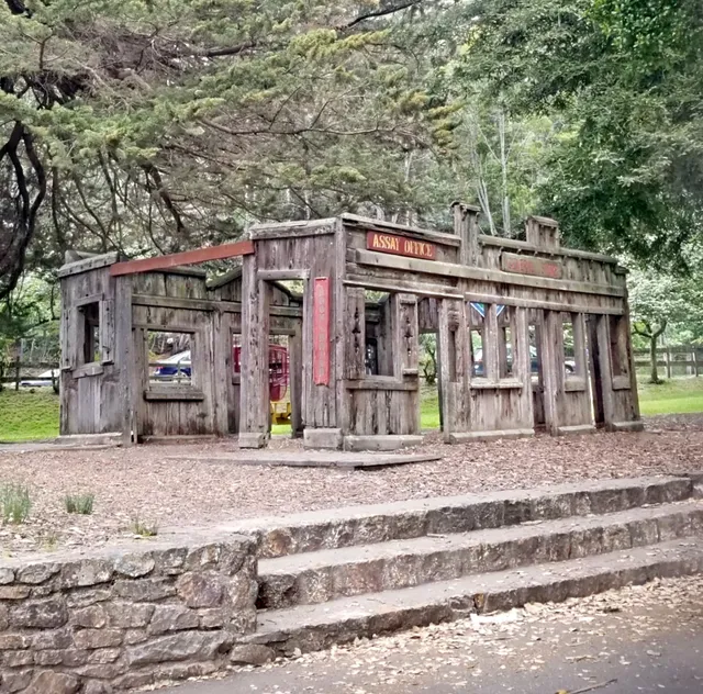
Montclair Park
4.4
(203)
Open until 10:00 PM
Click for details
Nearby restaurants of Montclair Railroad Trail
Daughter Thai Kitchen
El Agavero Restaurant & Tequila Bar
Italian Colors
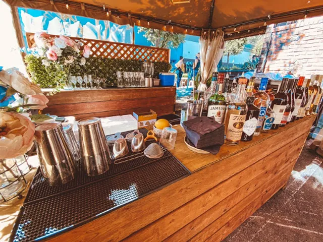
Perle Bar
Montclair Egg Shop
Kakui Sushi
Taqueria Las Comadres
Sophie's Cuppa Tea
Pagarung Thai Cuisine
Grinders Submarine Sandwiches
Daughter Thai Kitchen
4.6
(761)
$$
Open until 9:30 PM
Click for details
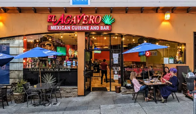
El Agavero Restaurant & Tequila Bar
4.2
(343)
$$
Open until 10:00 PM
Click for details
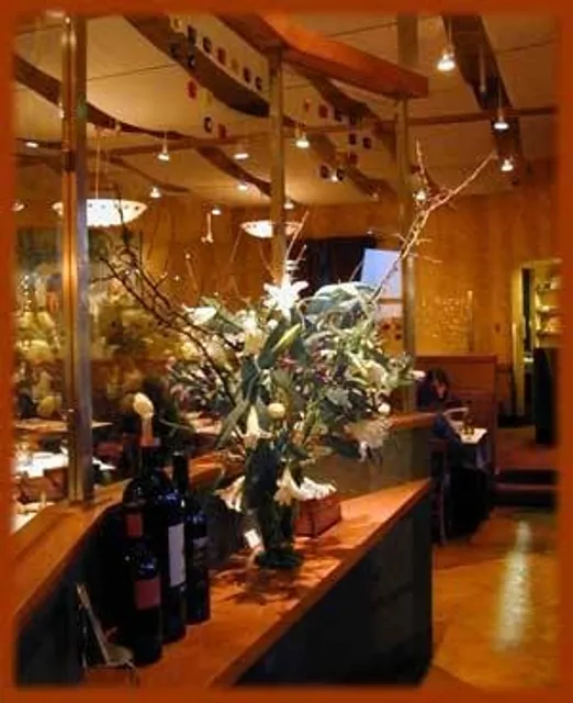
Italian Colors
4.4
(258)
$$
Open until 9:00 PM
Click for details

Perle Bar
4.6
(146)
$$
Open until 10:00 PM
Click for details
Nearby local services of Montclair Railroad Trail
Montclair Village Farmers' Market
Montclair Photo
Montclair plaza
Orangetheory Fitness
Tutu School Montclair
Montclair Barber Shop
Le Bonbon
Sola Lucy Consignment
Annie's Hallmark Shop
Montclair Toyhouse
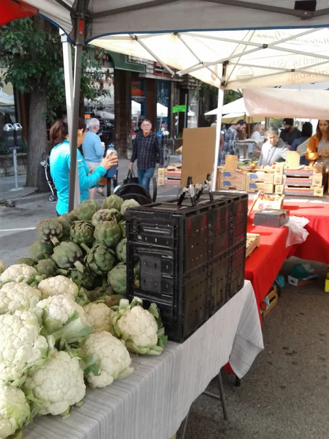
Montclair Village Farmers' Market
4.5
(102)
Click for details
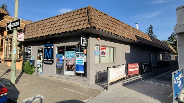
Montclair Photo
4.1
(61)
Click for details

Montclair plaza
4.3
(169)
Click for details

Orangetheory Fitness
4.6
(66)
Click for details