Ruffin Canyon Open Space things to do, attractions, restaurants, events info and trip planning
Basic Info
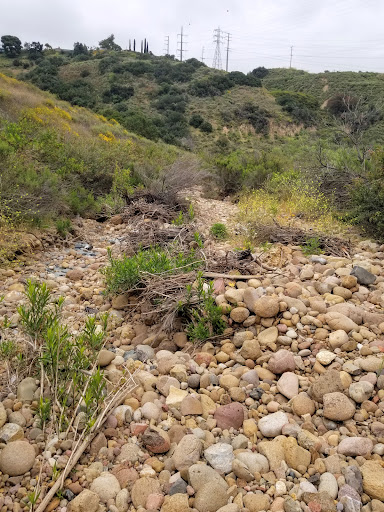
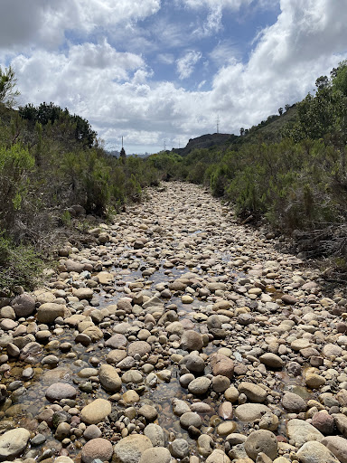
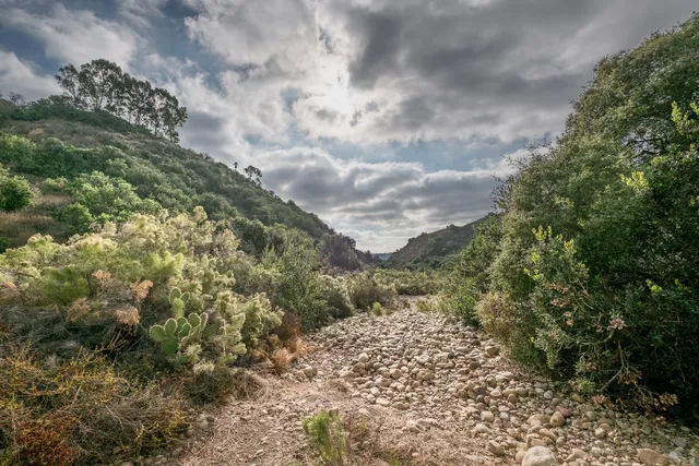
Ruffin Canyon Open Space
San Diego, CA 92123
4.4(32)
Open until 8:00 PM
Save
spot
spot
Ratings & Description
Info
Outdoor
Adventure
Scenic
Family friendly
Pet friendly
Off the beaten path
attractions: , restaurants: JAVA GARDEN, Sushi Kuchi, Pizza Hut, McDonald's, local businesses: Asorta Transportation, Blonden Salon
Open hoursSee all hours
Thu7 AM - 8 PMOpen
Plan your stay

Pet-friendly Hotels in San Diego
Find a cozy hotel nearby and make it a full experience.

Affordable Hotels in San Diego
Find a cozy hotel nearby and make it a full experience.

The Coolest Hotels You Haven't Heard Of (Yet)
Find a cozy hotel nearby and make it a full experience.

Trending Stays Worth the Hype in San Diego
Find a cozy hotel nearby and make it a full experience.
Reviews
Live events

SDCOE Presents 9th Annual San Diego Black College ExpoTM-FREE
Thu, Feb 12 • 11:00 AM
6134 Pastor Timothy J Winter St. San Diego, CA 92114
View details

Alt Wellness Club: Emo Versa X Lagree
Fri, Feb 13 • 6:00 PM
437 South Highway 101 #202-203 Solana Beach, CA 92075
View details

Valentines Day Sound Bath
Sat, Feb 14 • 10:00 AM
100 Ocean Boulevard Coronado, CA 92118
View details
Nearby restaurants of Ruffin Canyon Open Space
JAVA GARDEN
Sushi Kuchi
Pizza Hut
McDonald's
JAVA GARDEN
4.8
(91)
$
Open until 2:00 PM
Click for details

Sushi Kuchi
4.3
(552)
$$
Closed
Click for details
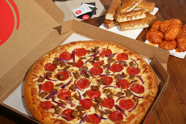
Pizza Hut
4.1
(193)
$
Closed
Click for details
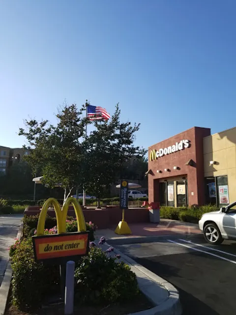
McDonald's
3.6
(576)
$
Open until 11:00 PM
Click for details
Nearby local services of Ruffin Canyon Open Space
Asorta Transportation
Blonden Salon
Asorta Transportation
4.9
(24)
Click for details

Blonden Salon
4.9
(41)
Click for details


The hit list


Plan your trip with Wanderboat
Welcome to Wanderboat AI, your AI search for local Eats and Fun, designed to help you explore your city and the world with ease.
Powered by Wanderboat AI trip planner.