Le Morne Brabant things to do, attractions, restaurants, events info and trip planning
Basic Info
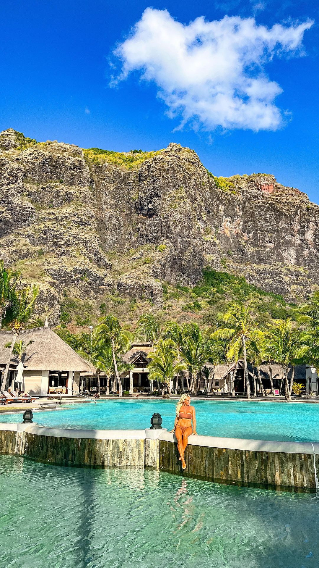
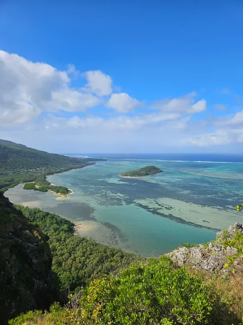
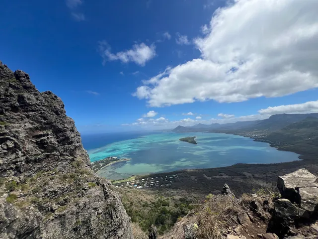
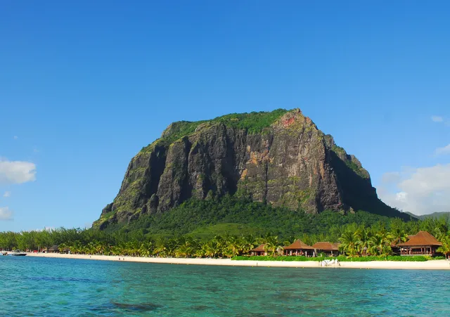
Le Morne Brabant
Mauritius
4.8(349)
Save
spot
spot
Ratings & Description
Info
Outdoor
Adventure
Scenic
Cultural
Off the beaten path
attractions: Le Morne World Heritage Site, Le Morne Public Beach, Slave Route Monument, Underwater waterfall Mauritius | 5 Island tour | Things to do - Ile aux Cerfs, restaurants: Wapalapam Island Eatery, The Kitchen - LUX* Le Morne, local businesses: Le Morne Brabant
Plan your stay

Pet-friendly Hotels in Le Morne
Find a cozy hotel nearby and make it a full experience.

Affordable Hotels in Le Morne
Find a cozy hotel nearby and make it a full experience.

The Coolest Hotels You Haven't Heard Of (Yet)
Find a cozy hotel nearby and make it a full experience.

Trending Stays Worth the Hype in Le Morne
Find a cozy hotel nearby and make it a full experience.
Reviews
Live events

Hike and Climb Le Morne Mountain at Sunrise
Wed, Feb 25 • 4:30 AM
Le Morne, 73108, Mauritius
View details
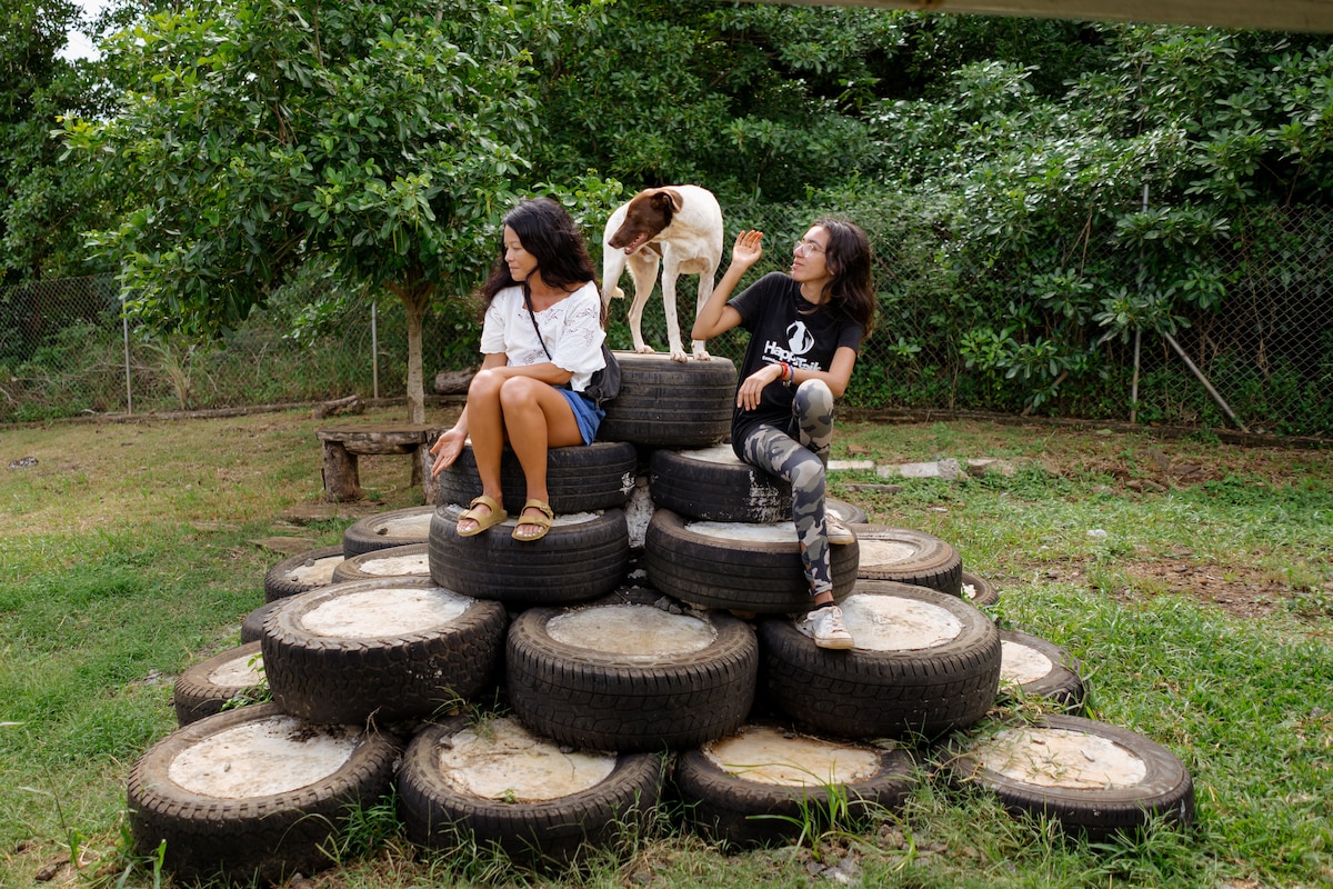
Visit Happy Tails Dog Sanctuary
Wed, Feb 25 • 12:00 PM
Baie du Cap, 60102, Mauritius
View details

Join the Tamarind Falls adventure
Wed, Feb 25 • 7:30 AM
Vacoas-Phoenix, 80303, Mauritius
View details
Nearby attractions of Le Morne Brabant
Le Morne World Heritage Site
Le Morne Public Beach
Slave Route Monument
Underwater waterfall Mauritius | 5 Island tour | Things to do - Ile aux Cerfs
Le Morne World Heritage Site
4.8
(376)
Closed
Click for details

Le Morne Public Beach
4.6
(1.1K)
Open 24 hours
Click for details
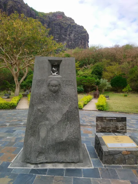
Slave Route Monument
4.5
(127)
Closed
Click for details

Underwater waterfall Mauritius | 5 Island tour | Things to do - Ile aux Cerfs
4.6
(21)
Open until 12:00 AM
Click for details
Nearby restaurants of Le Morne Brabant
Wapalapam Island Eatery
The Kitchen - LUX* Le Morne
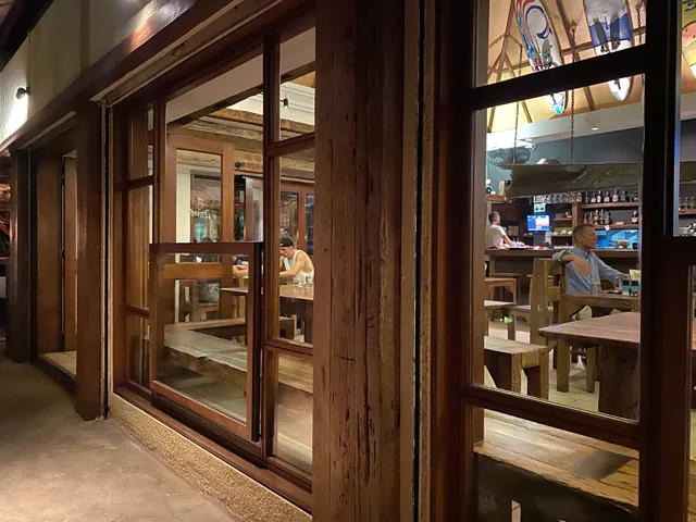
Wapalapam Island Eatery
4.4
(942)
$$
Closed
Click for details
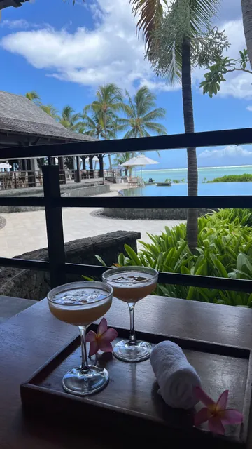
The Kitchen - LUX* Le Morne
4.3
(19)
Open until 10:30 PM
Click for details
Nearby local services of Le Morne Brabant
Le Morne Brabant
Le Morne Brabant
4.8
(204)
Click for details