Martin Goodman Trl things to do, attractions, restaurants, events info and trip planning
Basic Info
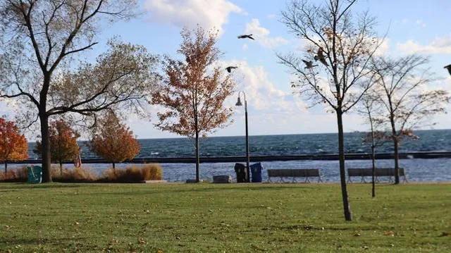
Martin Goodman Trl
Toronto, ON, Canada
4.6(21)
Save
spot
spot
Ratings & Description
Info
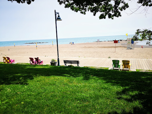
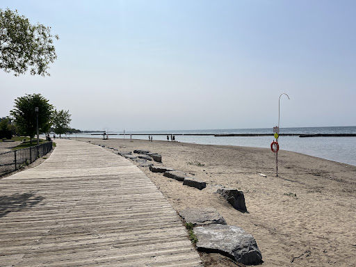
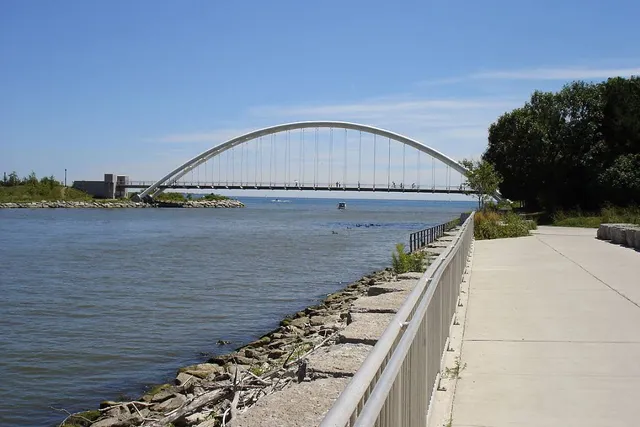
The Martin Goodman Trail is a 56 km multi-use path along the waterfront in Toronto, Ontario, Canada. It traverses the entire lake shore from one end of the city to the other, from Humber Bay Arch Bridge in the west to the Rouge River in the east.
Outdoor
Scenic
Adventure
Family friendly
Pet friendly
Accessibility
attractions: Marilyn Bell Park, Medieval Times Dinner & Tournament, Liberty Grand Entertainment Complex, Toronto Event Centre, Scadding Cabin, Queen Elizabeth Theatre, Northern Lights, Better Living Centre, BMO Field, Shrine Peace Memorial, restaurants: Grand Bizarre, Grand Bizarre, Acqua Supper Club, SCHOOL Restaurant, KINTON RAMEN LIBERTY VILLAGE, RC Coffee Robo Cafe, The Abbott, Reina De Mexico, Bold Brew Coffee, Brodflour, local businesses: OVO Athletic Centre, The Ontario Government Building, Canadian National Exhibition Foundation, Bandshell Park at Exhibition Place, Joe Rockhead's Indoor Rock Climbing, Ontario Place, Government House, Queen Elizabeth Building, West Island, The Sand Trap Golf Simulator & Lounge
Plan your stay

Pet-friendly Hotels in Toronto
Find a cozy hotel nearby and make it a full experience.

Affordable Hotels in Toronto
Find a cozy hotel nearby and make it a full experience.

The Coolest Hotels You Haven't Heard Of (Yet)
Find a cozy hotel nearby and make it a full experience.

Trending Stays Worth the Hype in Toronto
Find a cozy hotel nearby and make it a full experience.
Reviews
Live events
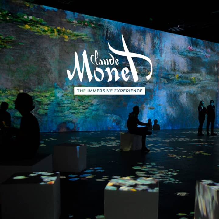
Monet: The Immersive Experience
Fri, Feb 27 • 10:00 AM
30 Hanover Rd, North York, M3K 0E2
View details

Valentine’s Tufting Workshop for Two: Create Your Own Rug
Tue, Feb 24 • 10:30 AM
4789 Yonge St Unit 1020, M2N 0G3
View details
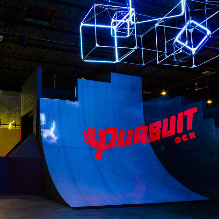
Pursuit OCR: Ultimate Indoor Adventure!
Tue, Feb 24 • 2:00 PM
75 Westmore Dr Unit A, Etobicoke, M9V 3Y6
View details
Nearby attractions of Martin Goodman Trl
Marilyn Bell Park
Medieval Times Dinner & Tournament
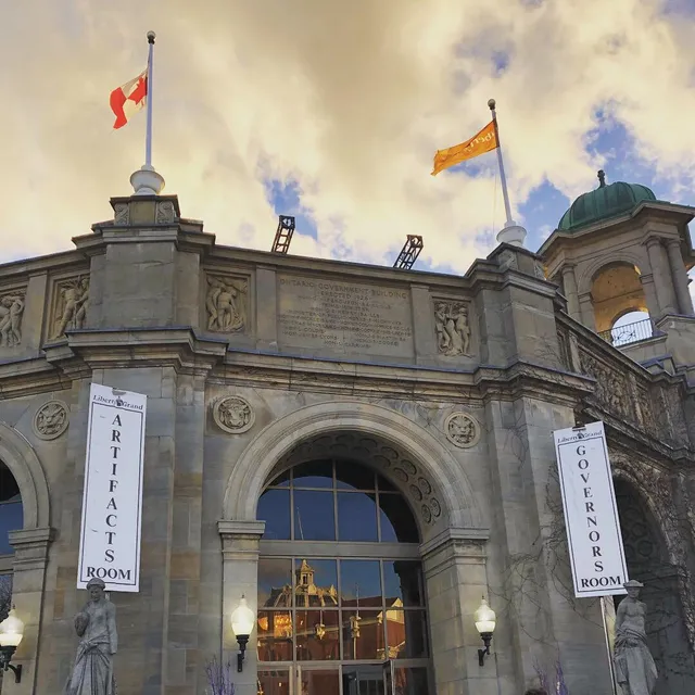
Liberty Grand Entertainment Complex
Toronto Event Centre
Scadding Cabin
Queen Elizabeth Theatre
Northern Lights
Better Living Centre
BMO Field
Shrine Peace Memorial
Marilyn Bell Park
4.6
(1.2K)
Open until 12:00 AM
Click for details

Medieval Times Dinner & Tournament
4.6
(4.6K)
Open 24 hours
Click for details

Liberty Grand Entertainment Complex
4.5
(243)
Closed
Click for details
Toronto Event Centre
4.6
(154)
Closed
Click for details
Nearby restaurants of Martin Goodman Trl
Grand Bizarre
Grand Bizarre
Acqua Supper Club
SCHOOL Restaurant
KINTON RAMEN LIBERTY VILLAGE
RC Coffee Robo Cafe
The Abbott
Reina De Mexico
Bold Brew Coffee
Brodflour
Grand Bizarre
3.7
(340)
Click for details
Grand Bizarre
3.7
(358)
Click for details
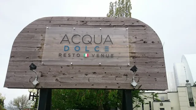
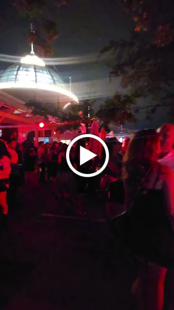
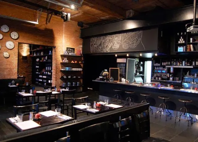
Acqua Supper Club
3.7
(238)
$$
Open until 2:00 AM
Click for details
SCHOOL Restaurant
4.1
(1.3K)
Closed
Click for details
Nearby local services of Martin Goodman Trl
OVO Athletic Centre
The Ontario Government Building
Canadian National Exhibition Foundation
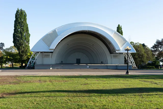
Bandshell Park at Exhibition Place
Joe Rockhead's Indoor Rock Climbing
Ontario Place
Government House
Queen Elizabeth Building
West Island
The Sand Trap Golf Simulator & Lounge
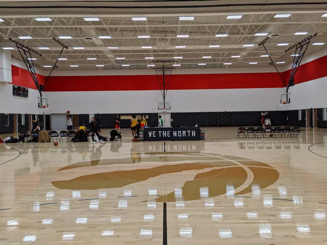
OVO Athletic Centre
4.7
(64)
Click for details
The Ontario Government Building
4.7
(11)
Click for details

Canadian National Exhibition Foundation
4.3
(572)
Click for details
Bandshell Park at Exhibition Place
4.5
(149)
Click for details