Rawda Island Nilometer things to do, attractions, restaurants, events info and trip planning
Basic Info
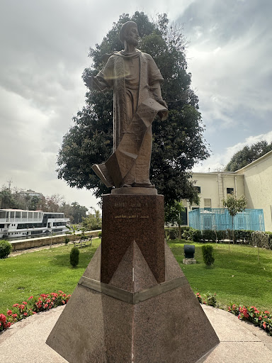
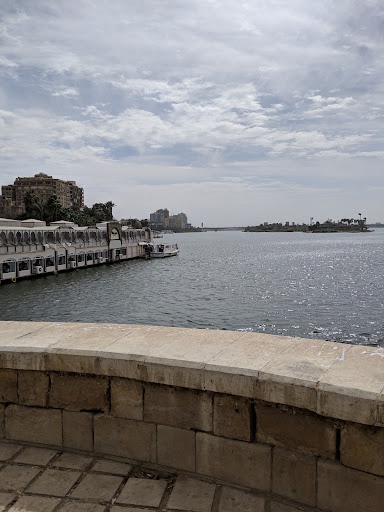
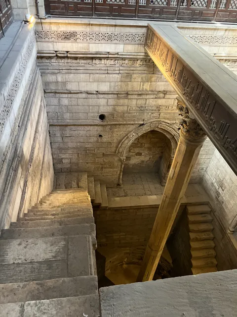
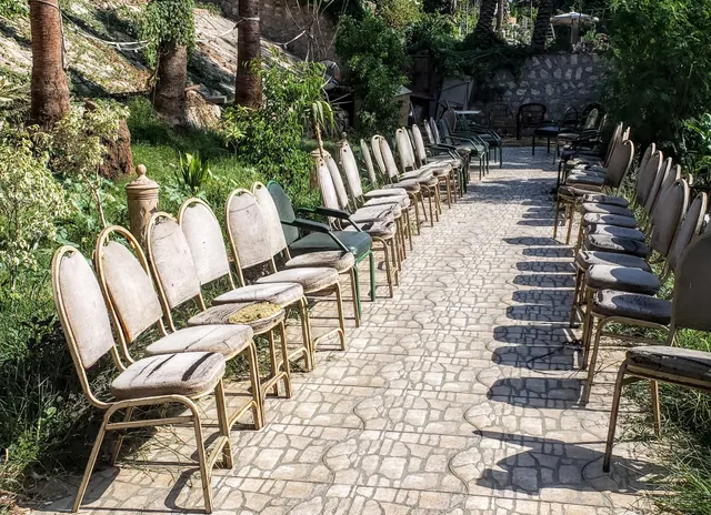
Rawda Island Nilometer
264G+Q2J, Al-Miqyas Street, Southern Tip of Al-Roda Island, Cairo Governorate شارع المقياس, الطرف الجنوبي, لجزيرة الروضة, Cairo Governorate, Egypt
4.4(381)
Closed

tickets
Save
spot
spot
Ratings & Description
Info
Cultural
Scenic
Family friendly
attractions: Manasterly Palace, Umm Kulthum Museum, Manasterly Bridge, The Hanging Church, Saints Sergius and Bacchus Church, The Coptic Museum, Fortress of Babylon, Synagogue Ben Ezra, Amr ibn al-As Mosque, Darb 1718, restaurants: Restaurant, Old Cairo Restaurant & Cafe, local businesses: البريد المصرى - Egypt Post, St. George's church, Old Cairo Bazaar, Souq El Fustat, Amr ibn Al-A'as Mosque, St Barbara Church, Church of Saint Menas (Cairo), Jazīrat al Qurşāyah
Website
egymonuments.gov.eg
Open hoursSee all hours
Fri9 AM - 3:45 PMClosed
Plan your stay

Pet-friendly Hotels in Cairo
Find a cozy hotel nearby and make it a full experience.

Affordable Hotels in Cairo
Find a cozy hotel nearby and make it a full experience.

The Coolest Hotels You Haven't Heard Of (Yet)
Find a cozy hotel nearby and make it a full experience.

Trending Stays Worth the Hype in Cairo
Find a cozy hotel nearby and make it a full experience.
Reviews
Live events
Private tour to Giza Pyramids, Sphinx, ATVs& Lunch
Fri, Feb 13 • 8:00 AM
Qasr Ad Dobarah, Cairo Governorate, 11512, Egypt
View details

Local Cairo Walking & Food Tour
Fri, Feb 13 • 5:00 PM
Qasr Ad Dobarah, Cairo Governorate, 11562, Egypt
View details
Engage with Egyptian life & Bazzar
Fri, Feb 13 • 5:00 PM
As Sawabi, Cairo Governorate, 4331216, Egypt
View details
Nearby attractions of Rawda Island Nilometer
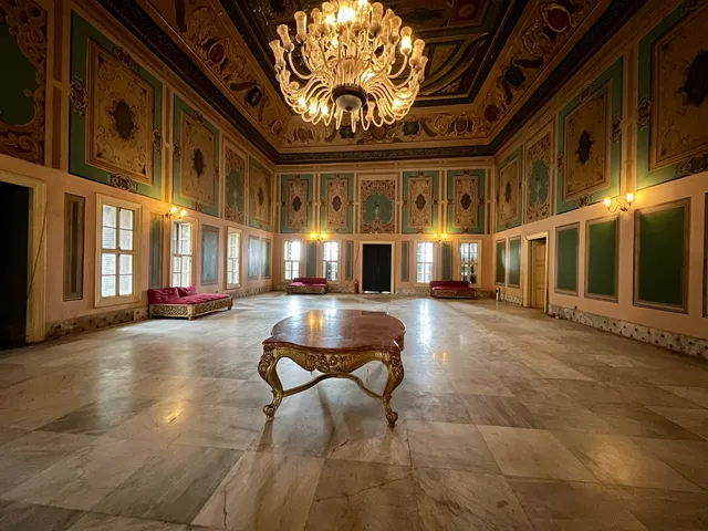
Manasterly Palace
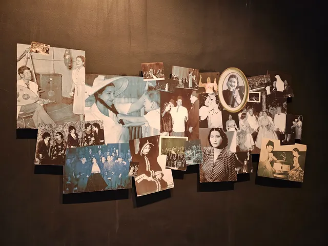
Umm Kulthum Museum
Manasterly Bridge
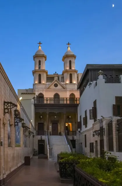
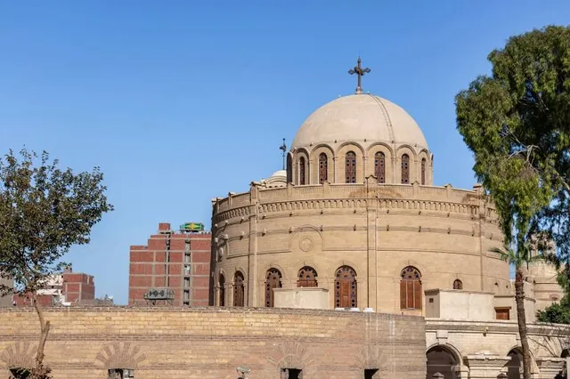
The Hanging Church
Saints Sergius and Bacchus Church
The Coptic Museum
Fortress of Babylon
Synagogue Ben Ezra
Amr ibn al-As Mosque
Darb 1718
Manasterly Palace
4.2
(484)
Open 24 hours
Click for details
Umm Kulthum Museum
4.4
(680)
Closed
Click for details

Manasterly Bridge
4.5
(1.3K)
Open until 12:00 AM
Click for details
The Hanging Church
4.7
(3.5K)
Closed
Click for details
Nearby restaurants of Rawda Island Nilometer
Restaurant
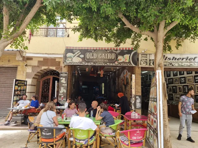
Old Cairo Restaurant & Cafe
Restaurant
3.8
(80)
Closed
Click for details

Old Cairo Restaurant & Cafe
4.5
(336)
Closed
Click for details
Nearby local services of Rawda Island Nilometer
البريد المصرى - Egypt Post
St. George's church
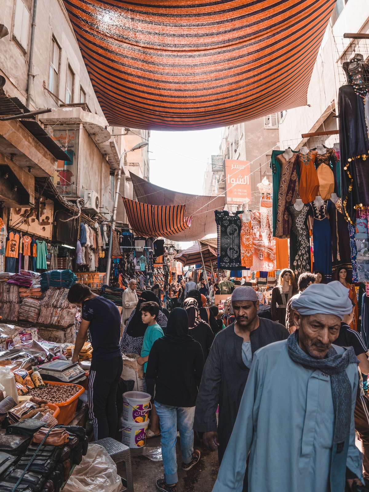
Old Cairo Bazaar
Souq El Fustat
Amr ibn Al-A'as Mosque
St Barbara Church
Church of Saint Menas (Cairo)
Jazīrat al Qurşāyah
البريد المصرى - Egypt Post
3.6
(29)
Click for details
St. George's church
4.7
(335)
Click for details
Old Cairo Bazaar
4.2
(306)
Click for details
Souq El Fustat
4.4
(251)
Click for details