Acueducto De Guadalajara things to do, attractions, restaurants, events info and trip planning
Basic Info
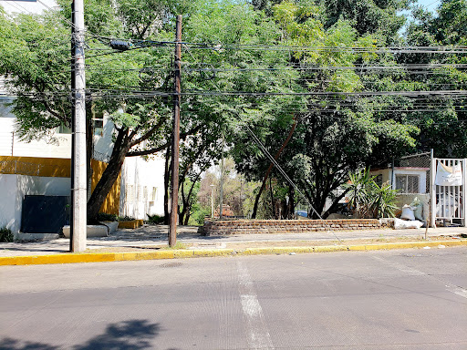
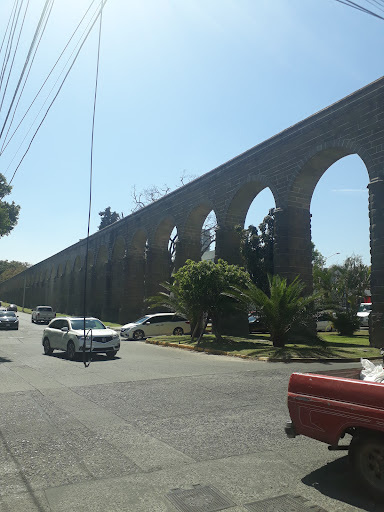
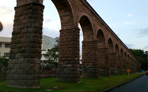
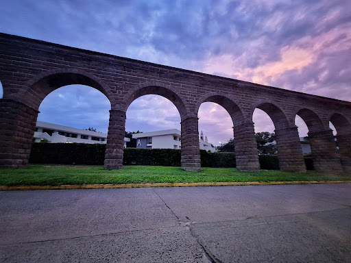
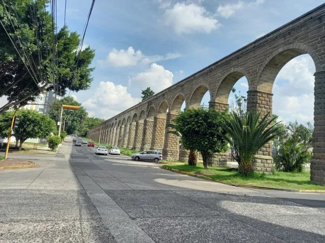
Acueducto De Guadalajara
Av Pablo Casals, Prados Providencia, 44647 Guadalajara, Jal., Mexico
4.7(103)
Open 24 hours
Save
spot
spot
Ratings & Description
Info
Cultural
Scenic
Accessibility
Family friendly
attractions: Italia Park, Estadio Panamericano de Hockey, Casa Blend Restaurant & Cigar Bar, restaurants: NANIA La Casa Del Té, Tortas Toño Providencia, Jardín Cafeto Providencia, Murakami Montevideo, MADE IN HEAVEN, Saint Michel Providencia, Botanero Veintiuno Providencia, Nieves Chapalita, NERIUM Cocina Singular, Pata de Elefante Providencia, local businesses: Buru's Cookies, Cremería La Mejor, Premier Nuts, Pale Celebration Bakery, De Primera Carnicería Providencia, Av Montevideo 2984, Sano Gelateria De Autor, KARRUSEL, seis 40 bistro, Amaris tobaccos S.A. De C.V.
Plan your stay

Pet-friendly Hotels in Jalisco
Find a cozy hotel nearby and make it a full experience.

Affordable Hotels in Jalisco
Find a cozy hotel nearby and make it a full experience.

The Coolest Hotels You Haven't Heard Of (Yet)
Find a cozy hotel nearby and make it a full experience.

Trending Stays Worth the Hype in Jalisco
Find a cozy hotel nearby and make it a full experience.
Reviews
Live events
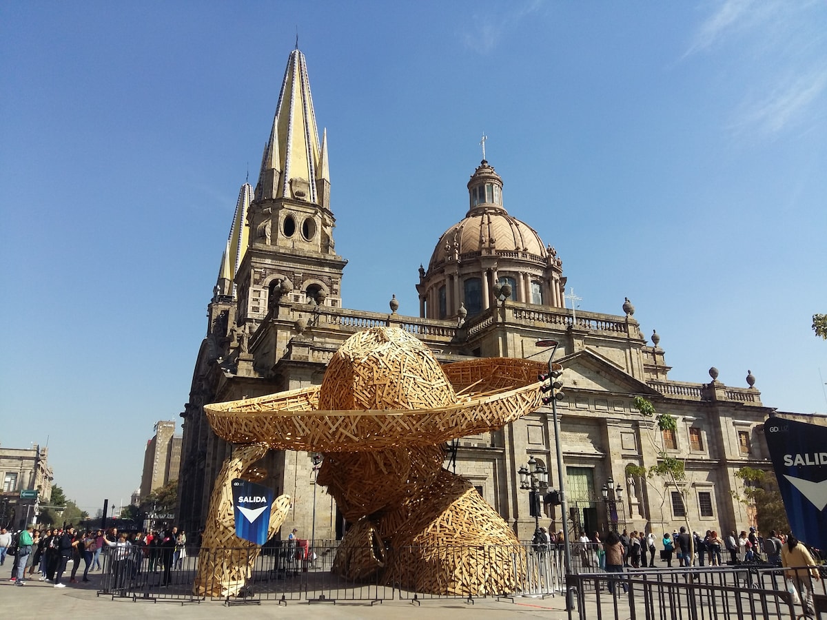
Discover the Guadalajara downtown
Sun, Feb 22 • 12:15 PM
44100, Guadalajara, Jalisco, Mexico
View details
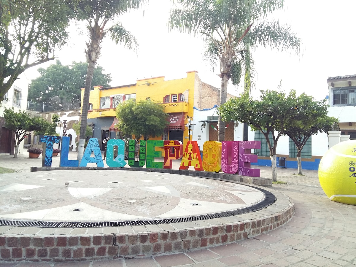
Tlaquepaque Art Magic Town
Tue, Feb 24 • 11:15 AM
45500, Tlaquepaque, Jalisco, Mexico
View details
Experience the Tequila Route from Guadalajara
Sat, Feb 21 • 9:30 AM
44150, Guadalajara, Jalisco, Mexico
View details
Nearby attractions of Acueducto De Guadalajara
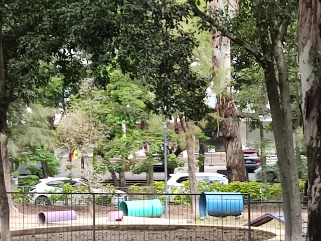
Italia Park
Estadio Panamericano de Hockey
Casa Blend Restaurant & Cigar Bar
Italia Park
4.5
(1.3K)
Open until 12:00 AM
Click for details

Estadio Panamericano de Hockey
4.4
(18)
Open 24 hours
Click for details

Casa Blend Restaurant & Cigar Bar
4.7
(85)
Closed
Click for details
Nearby restaurants of Acueducto De Guadalajara
NANIA La Casa Del Té
Tortas Toño Providencia
Jardín Cafeto Providencia
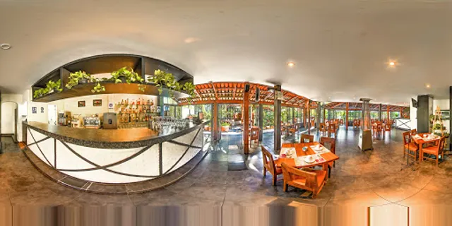
Murakami Montevideo
MADE IN HEAVEN
Saint Michel Providencia
Botanero Veintiuno Providencia
Nieves Chapalita
NERIUM Cocina Singular
Pata de Elefante Providencia

NANIA La Casa Del Té
4.5
(233)
Closed
Click for details
Tortas Toño Providencia
4.6
(2.1K)
Closed
Click for details
Jardín Cafeto Providencia
4.5
(2K)
Open until 11:30 PM
Click for details
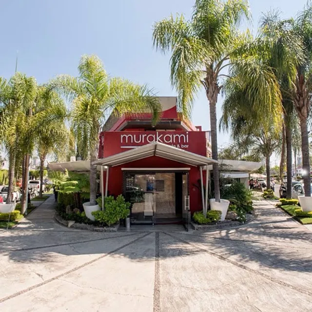
Murakami Montevideo
4.3
(298)
$$
Closed
Click for details
Nearby local services of Acueducto De Guadalajara
Buru's Cookies
Cremería La Mejor
Premier Nuts
Pale Celebration Bakery
De Primera Carnicería Providencia
Av Montevideo 2984
Sano Gelateria De Autor
KARRUSEL
seis 40 bistro
Amaris tobaccos S.A. De C.V.
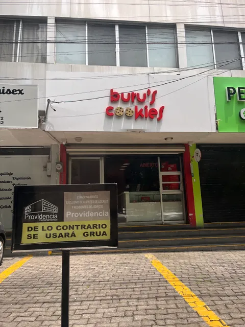
Buru's Cookies
4.4
(70)
Click for details
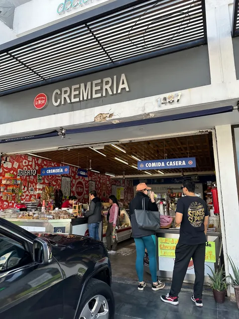
Cremería La Mejor
3.3
(24)
Click for details
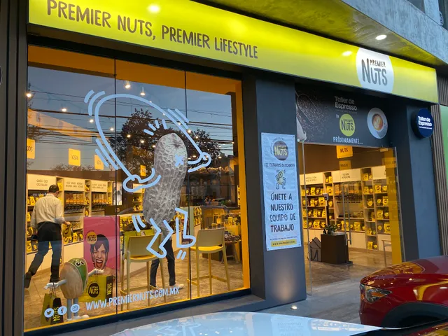
Premier Nuts
4.2
(25)
Click for details
Pale Celebration Bakery
4.2
(130)
Click for details