Reinebringen things to do, attractions, restaurants, events info and trip planning

Basic Info
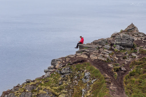
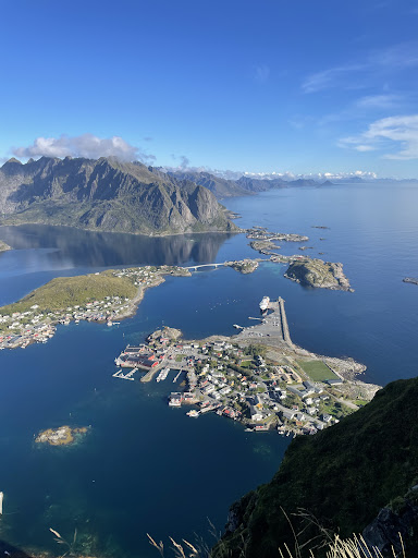
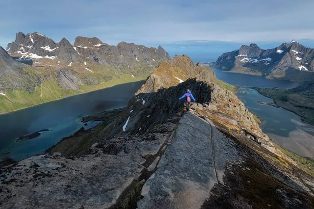
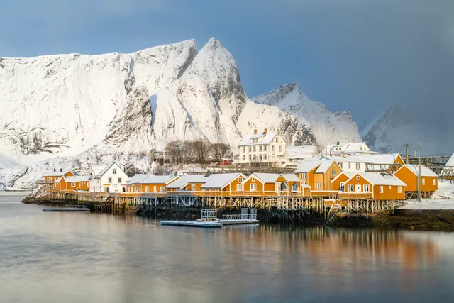
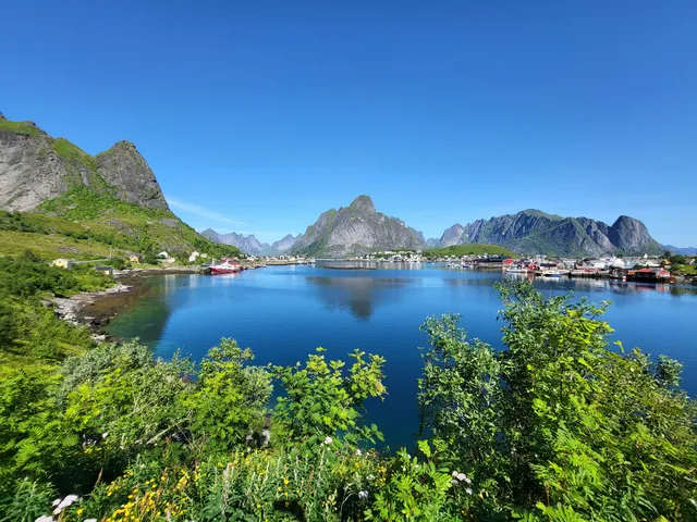
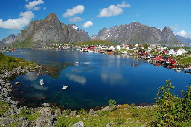
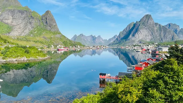
Reinebringen
E10, 8390 Reine, Norway
4.9(965)
Open until 12:00 AM
Save
spot
spot
Ratings & Description
Info
Outdoor
Adventure
Scenic
Off the beaten path
attractions: Reinebringen trailhead, Visitor Centre Lofotodden National Park, Reine Gjestehavn, Horn, restaurants: Tapperiet Bistro, local businesses: Reine Utsiktspunkt, Reinebringen, Reinebringen, Reinehalsen, Reinebua.no, Guide to Lofoten, Reine Stadion, Reine Church, Hammerskaft
Open hoursSee all hours
SunOpen 24 hoursOpen
Plan your stay

Pet-friendly Hotels in Moskenes
Find a cozy hotel nearby and make it a full experience.

Affordable Hotels in Moskenes
Find a cozy hotel nearby and make it a full experience.

The Coolest Hotels You Haven't Heard Of (Yet)
Find a cozy hotel nearby and make it a full experience.

Trending Stays Worth the Hype in Moskenes
Find a cozy hotel nearby and make it a full experience.
Reviews
Nearby attractions of Reinebringen
Reinebringen trailhead
Visitor Centre Lofotodden National Park
Reine Gjestehavn
Horn

Reinebringen trailhead
4.8
(255)
Open until 12:00 AM
Click for details
Visitor Centre Lofotodden National Park
4.8
(190)
Open until 6:00 PM
Click for details
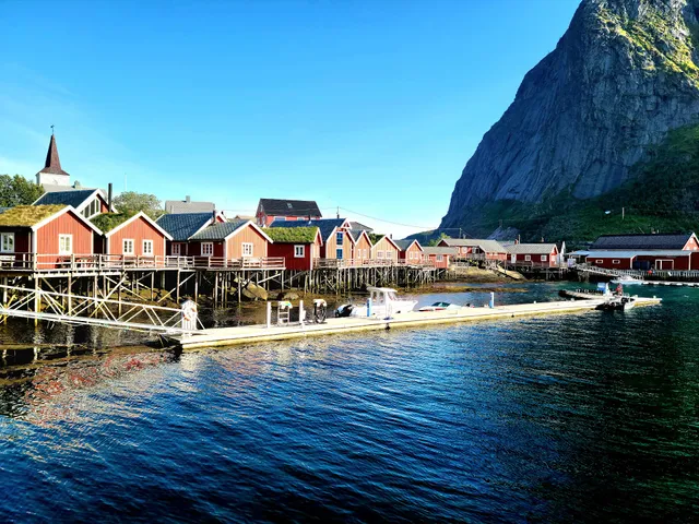
Reine Gjestehavn
4.4
(21)
Open until 12:00 AM
Click for details
Horn
4.2
(15)
Open 24 hours
Click for details
Nearby restaurants of Reinebringen
Tapperiet Bistro
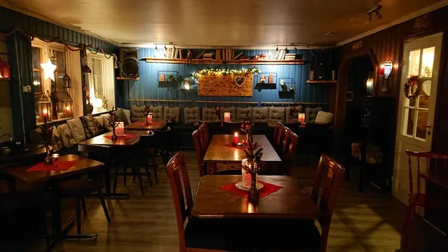
Tapperiet Bistro
4.4
(571)
Open until 5:00 PM
Click for details
Nearby local services of Reinebringen
Reine Utsiktspunkt
Reinebringen
Reinebringen
Reinehalsen
Reinebua.no
Guide to Lofoten
Reine Stadion
Reine Church
Hammerskaft
Reine Utsiktspunkt
4.8
(171)
Click for details
Reinebringen
4.9
(203)
Click for details

Reinebringen
4.9
(103)
Click for details
Reinehalsen
4.8
(17)
Click for details