Steep Holm things to do, attractions, restaurants, events info and trip planning
Basic Info
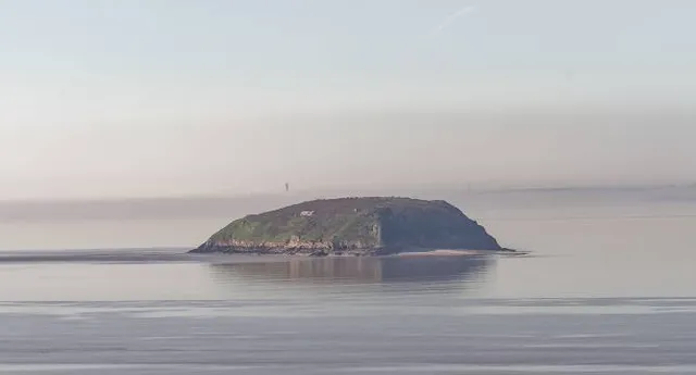
Steep Holm
Sully, Penarth CF64 5UY, United Kingdom
4.6(10)
Save
spot
spot
Ratings & Description
Info
Steep Holm is an English island lying in the Bristol Channel. The island covers 48.87 acres at high tide, expanding to 63.26 acres at mean low water. At its highest point it is 78 metres above mean sea level.
Outdoor
Adventure
Scenic
Cultural
Off the beaten path
attractions: Cosmeston Medieval Village, Cosmeston Lakes Country Park & Medieval Village, Cosmeston Lakes Aqua Park, Cosmeston Lake, Cosmeston Lakes Playground, restaurants: Refresh Lakeside Cafe & Ice Cream Parlour, Ego at The Schooner Inn, Penarth, Marconi Inn, local businesses: The Grand Pier, Cardiff Bay, Barry Island, Fforest Fawr, Severn Estuary, Roath Park Lake, Cosmeston Lakes Country Park, Water Adventure Play Park
Plan your stay

Pet-friendly Hotels in Sully and Lavernock
Find a cozy hotel nearby and make it a full experience.

Affordable Hotels in Sully and Lavernock
Find a cozy hotel nearby and make it a full experience.

The Coolest Hotels You Haven't Heard Of (Yet)
Find a cozy hotel nearby and make it a full experience.

Trending Stays Worth the Hype in Sully and Lavernock
Find a cozy hotel nearby and make it a full experience.
Reviews
Live events
Ride Sirhowy Valley on e-bikes with family leaders
Sat, Feb 28 • 10:00 AM
Cwmfelinfach, NP11, United Kingdom
View details

Candlelight: Hans Zimmers Best Works
Thu, Feb 26 • 7:00 PM
Cathedral Close, Cardiff, CF5 2LA
View details

Learn to paint like Bob Ross
Sat, Feb 28 • 11:00 AM
Cardiff, CF10 1FL, United Kingdom
View details
Nearby attractions of Steep Holm
Cosmeston Medieval Village
Cosmeston Lakes Country Park & Medieval Village
Cosmeston Lakes Aqua Park
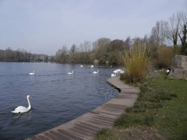
Cosmeston Lake
Cosmeston Lakes Playground
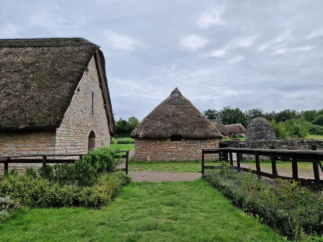
Cosmeston Medieval Village
4.5
(200)
Closed
Click for details
Cosmeston Lakes Country Park & Medieval Village
4.7
(1.5K)
Open until 12:00 AM
Click for details

Cosmeston Lakes Aqua Park
4.1
(146)
Open 24 hours
Click for details
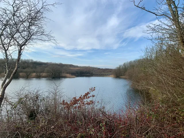
Cosmeston Lake
4.9
(10)
Open 24 hours
Click for details
Nearby restaurants of Steep Holm
Refresh Lakeside Cafe & Ice Cream Parlour
Ego at The Schooner Inn, Penarth
Marconi Inn
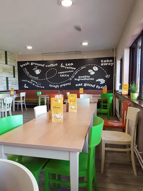
Refresh Lakeside Cafe & Ice Cream Parlour
3.8
(148)
Open until 4:30 PM
Click for details

Ego at The Schooner Inn, Penarth
4.4
(692)
$$
Closed
Click for details

Marconi Inn
4.4
(46)
$
Open until 12:00 AM
Click for details
Nearby local services of Steep Holm
The Grand Pier
Cardiff Bay
Barry Island
Fforest Fawr
Severn Estuary
Roath Park Lake
Cosmeston Lakes Country Park
Water Adventure Play Park
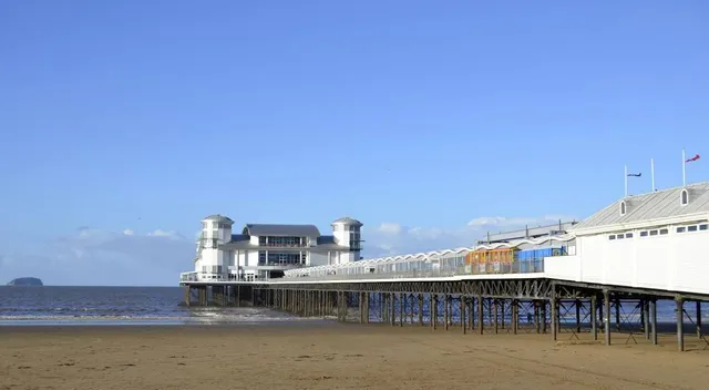
The Grand Pier
4.1
(4.8K)
Click for details

Cardiff Bay
4.7
(679)
Click for details

Barry Island
4.5
(578)
Click for details

Fforest Fawr
4.7
(83)
Click for details


