Black Mountain Trail things to do, attractions, restaurants, events info and trip planning
Basic Info
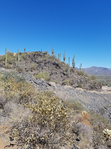
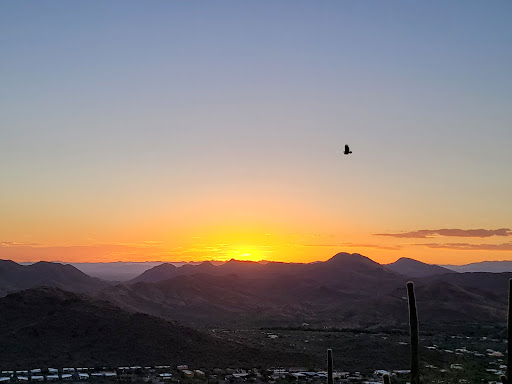
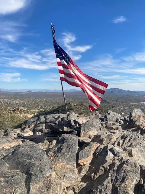
Black Mountain Trail
N School House Rd, Cave Creek, AZ 85331
4.8(98)
Open until 12:00 AM
Save
spot
spot
Ratings & Description
Info
Outdoor
Adventure
Scenic
Off the beaten path
attractions: Rare Earth Gallery, Frontier Town, Cave Creek Museum, The Finer Arts Gallery, restaurants: Grotto Cafe, El Encanto, Big Earl's Greasy Eats, The City Creamery, Stumblina's Cantina, Kiki Rae's, Hansen's Cowboy BBQ, Cryin' Coyote Barbecue, Chocolate Chip Cookie Company, Fantastico's Mexican Food 2, local businesses: Udder Delight Natural Skincare, Cave Creek Candles & Gifts, Mexicana Rose, Cave Creek Mercantile LLC, Patinas CaveCreek, Carefree Spirits Distillery, Black Mountain Guitar Co, Glory Bee's, Retablo, The Print Shop
Open hoursSee all hours
FriOpen 24 hoursOpen
Plan your stay

Pet-friendly Hotels in Cave Creek
Find a cozy hotel nearby and make it a full experience.

Affordable Hotels in Cave Creek
Find a cozy hotel nearby and make it a full experience.

The Coolest Hotels You Haven't Heard Of (Yet)
Find a cozy hotel nearby and make it a full experience.

Trending Stays Worth the Hype in Cave Creek
Find a cozy hotel nearby and make it a full experience.
Reviews
Live events

Befriend rescued farm animals
Fri, Feb 13 • 12:30 PM
Scottsdale, Arizona, 85254
View details
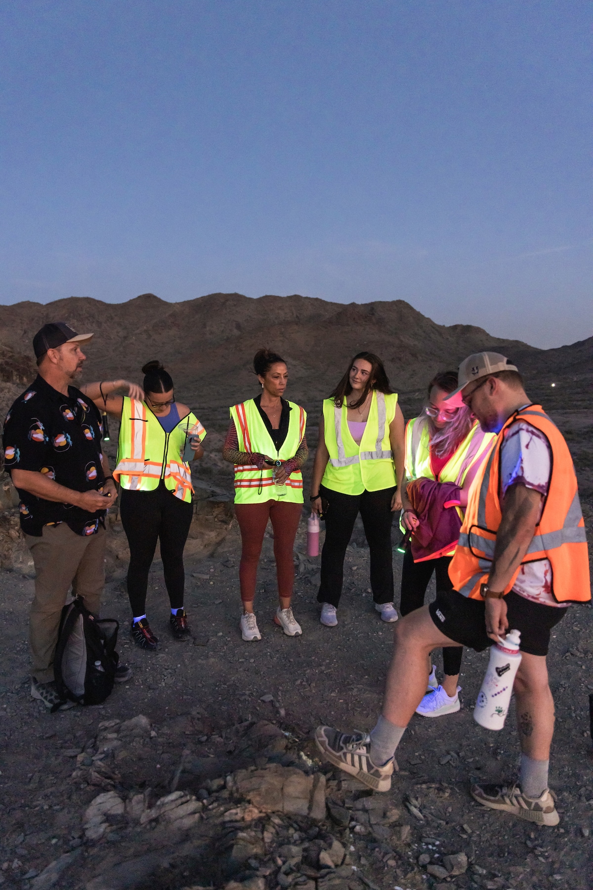
Desert night glow hike
Tue, Feb 17 • 6:00 PM
Phoenix, Arizona, 85028
View details
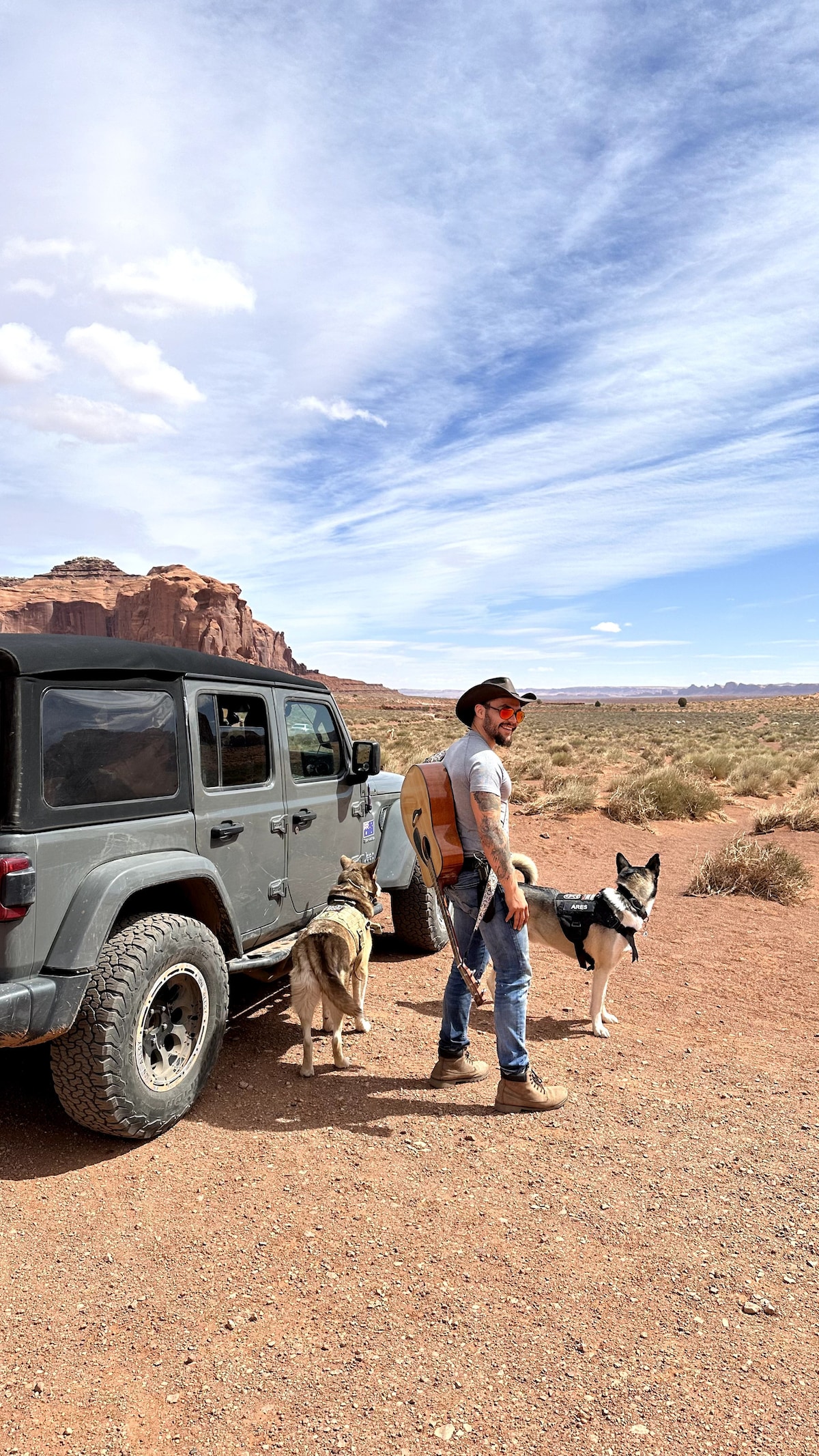
Private Desert Off-Road Tours with Husky Sidekicks
Fri, Feb 13 • 8:00 AM
Scottsdale, Arizona, 85260
View details
Nearby attractions of Black Mountain Trail
Rare Earth Gallery
Frontier Town
Cave Creek Museum
The Finer Arts Gallery
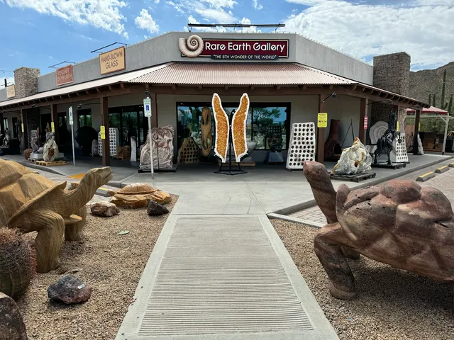
Rare Earth Gallery
4.8
(866)
Closed
Click for details
Frontier Town
4.4
(886)
Closed
Click for details
Cave Creek Museum
4.7
(132)
Closed
Click for details
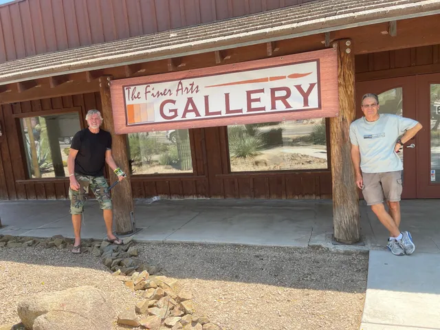
The Finer Arts Gallery
5.0
(15)
Closed
Click for details
Nearby restaurants of Black Mountain Trail
Grotto Cafe
El Encanto
Big Earl's Greasy Eats
The City Creamery
Stumblina's Cantina
Kiki Rae's
Hansen's Cowboy BBQ
Cryin' Coyote Barbecue
Chocolate Chip Cookie Company
Fantastico's Mexican Food 2
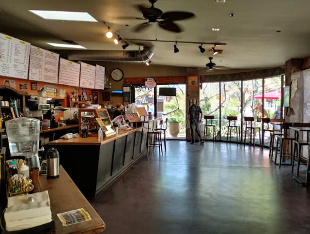
Grotto Cafe
4.7
(621)
$
Closed
Click for details
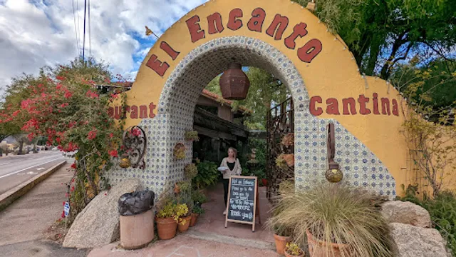
El Encanto
4.5
(2K)
$$
Closed
Click for details
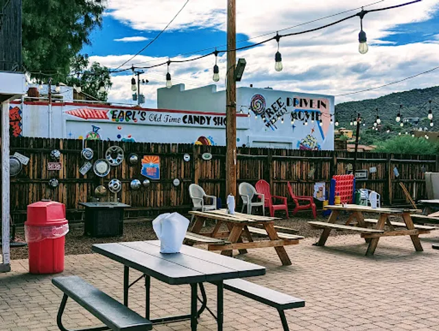
Big Earl's Greasy Eats
4.5
(1.1K)
$
Closed
Click for details
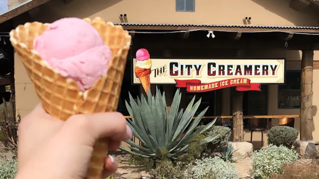
The City Creamery
4.8
(247)
$$
Closed
Click for details
Nearby local services of Black Mountain Trail
Udder Delight Natural Skincare
Cave Creek Candles & Gifts
Mexicana Rose
Cave Creek Mercantile LLC
Patinas CaveCreek
Carefree Spirits Distillery
Black Mountain Guitar Co
Glory Bee's
Retablo
The Print Shop

Udder Delight Natural Skincare
4.6
(42)
Click for details
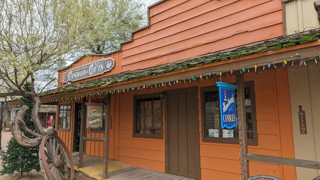
Cave Creek Candles & Gifts
4.9
(26)
Click for details
Mexicana Rose
4.3
(69)
Click for details
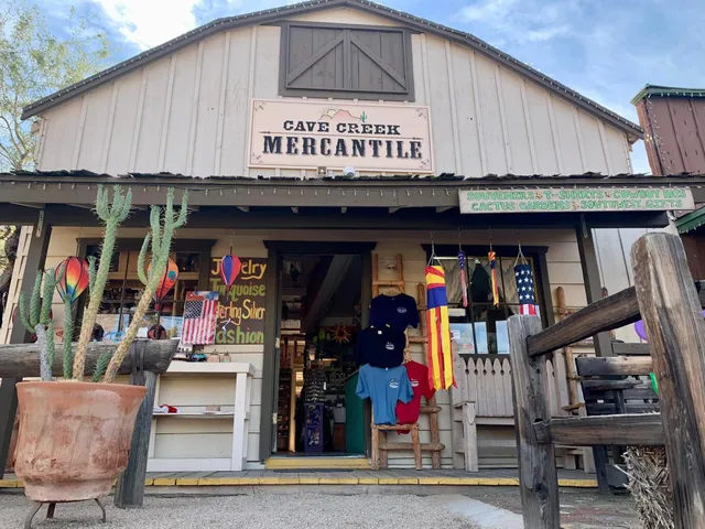
Cave Creek Mercantile LLC
3.8
(25)
Click for details