Naches Peak Loop Trailhead things to do, attractions, restaurants, events info and trip planning
Basic Info
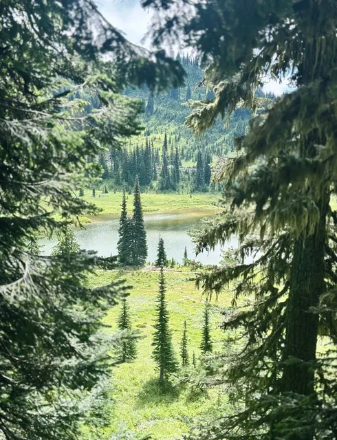
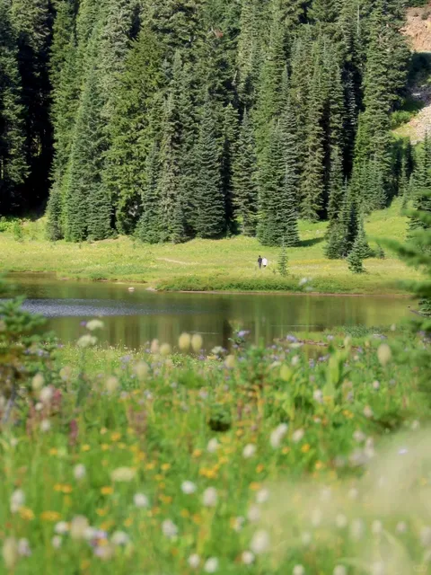
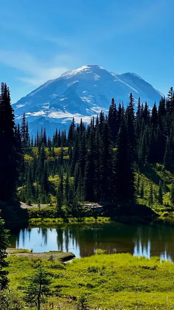
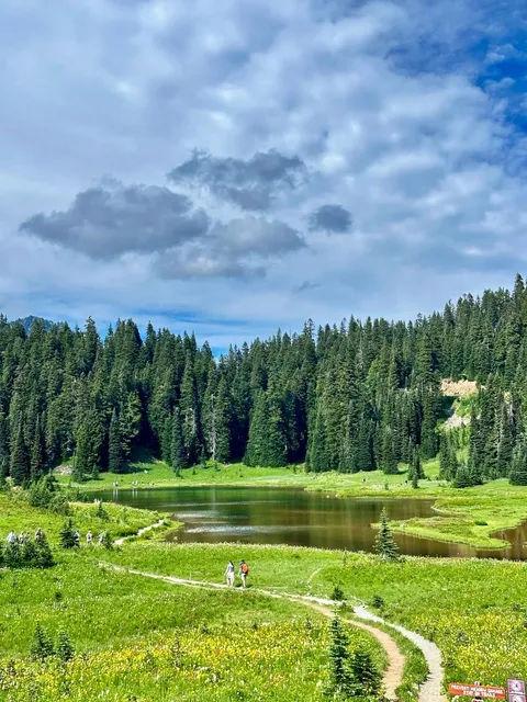
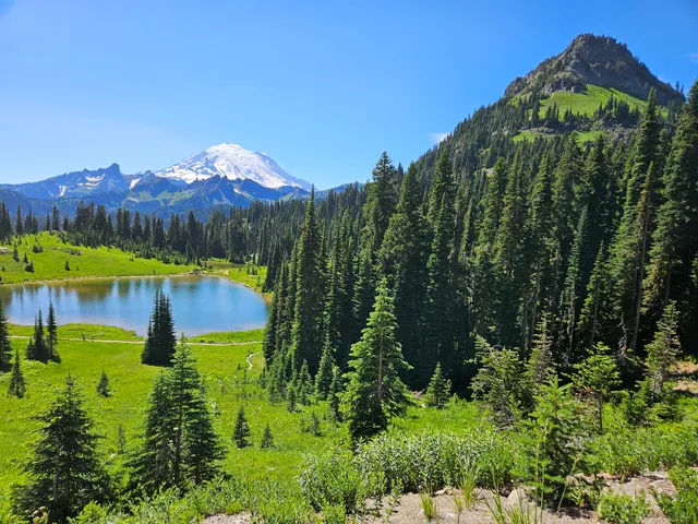
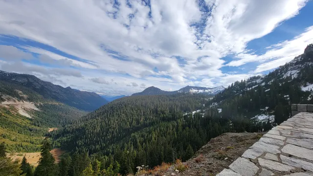
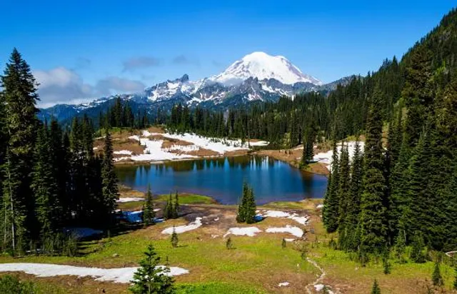
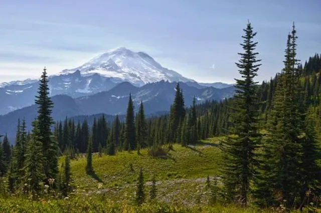
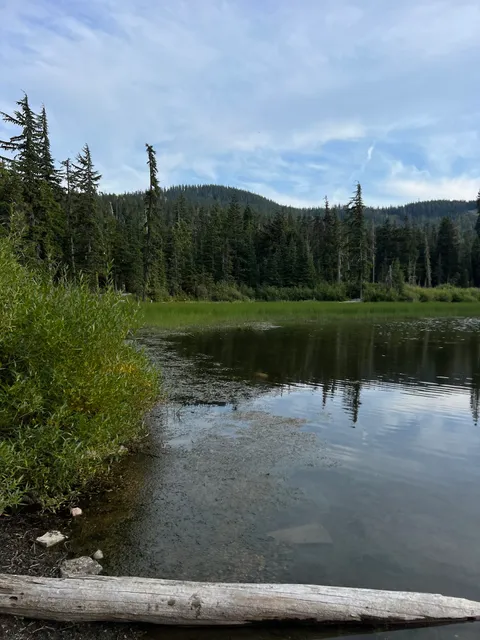
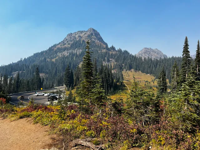
Naches Peak Loop Trailhead
Pacific Crest Nat'l Scenic Trl, Naches, WA 98937
4.8(311)
Open until 12:00 AM
Save
spot
spot
Ratings & Description
Info
Outdoor
Adventure
Scenic
Family friendly
Pet friendly
attractions: Chinook Pass, Tipsoo Lake, Chinook Pass Overlook Trailhead, Sheep Lake and Sourdough Gap Trailhead, Little Tipsoo Lake, restaurants: , local businesses: Chinook Pass, Naches Peak, Tipsoo Lake Comfort Station, Naches Peak
Website
wta.org
Open hoursSee all hours
WedOpen 24 hoursOpen
Plan your stay

Pet-friendly Hotels in Enumclaw
Find a cozy hotel nearby and make it a full experience.

Affordable Hotels in Enumclaw
Find a cozy hotel nearby and make it a full experience.

The Coolest Hotels You Haven't Heard Of (Yet)
Find a cozy hotel nearby and make it a full experience.

Trending Stays Worth the Hype in Enumclaw
Find a cozy hotel nearby and make it a full experience.
Reviews
Live events

SheJumps x Shred it Sisters | Ski & Snowboard Meetup | Crystal Mountain, WA
Sun, Feb 15 • 10:00 AM
33914 Crystal Mountain Boulevard Enumclaw, WA 98022
View details
Nearby attractions of Naches Peak Loop Trailhead
Chinook Pass
Tipsoo Lake
Chinook Pass Overlook Trailhead
Sheep Lake and Sourdough Gap Trailhead
Little Tipsoo Lake

Chinook Pass
4.8
(12)
Open until 12:00 AM
Click for details

Tipsoo Lake
4.7
(133)
Open 24 hours
Click for details
Chinook Pass Overlook Trailhead
4.9
(33)
Open 24 hours
Click for details
Sheep Lake and Sourdough Gap Trailhead
4.7
(70)
Open until 12:00 AM
Click for details
Nearby local services of Naches Peak Loop Trailhead
Chinook Pass
Naches Peak
Tipsoo Lake Comfort Station
Naches Peak
Chinook Pass
4.8
(68)
Click for details
Naches Peak
4.9
(10)
Click for details
Tipsoo Lake Comfort Station
4.5
(91)
Click for details
Naches Peak
4.8
(13)
Click for details