Sunset Trail things to do, attractions, restaurants, events info and trip planning

Basic Info
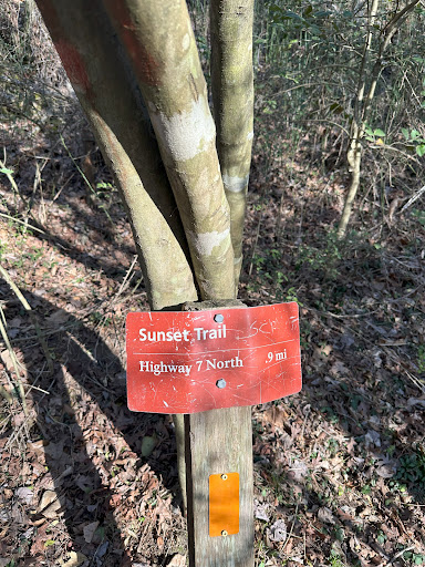
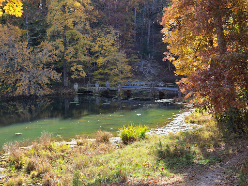
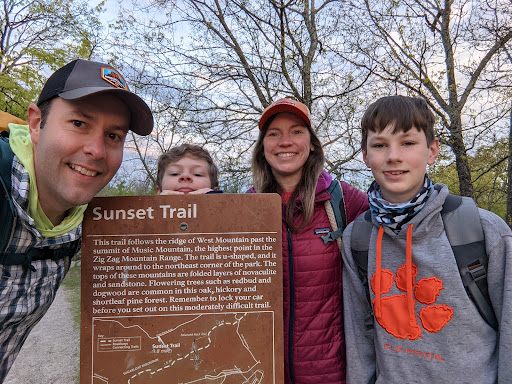
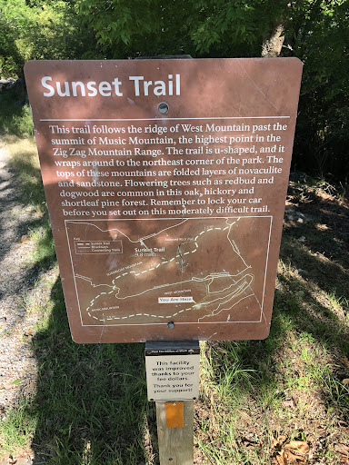
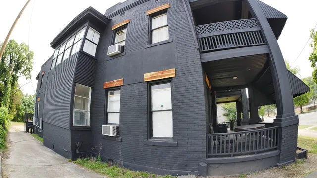
Sunset Trail
201 Martingale Dr, Hot Springs National Park, AR 71901
4.7(155)
Open 24 hours
Save
spot
spot
Ratings & Description
Info
Outdoor
Adventure
Scenic
Family friendly
Pet friendly
Off the beaten path
attractions: Arkansas Alligator Farm & Petting Zoo, Downtown Association of Hot Springs, Whittington Park Historic Marker, restaurants: 3B's Bar and Grill, Best Cafe & Bar, Dairy Queen Grill & Chill, Capachi’s Coffee and Tea, Surfas Culinary District, Taco Mama - Side Town, local businesses: Grand Lagniappe Shoppe, Quapaw Community Center, Computer Store, Black Cedar Lofts
Plan your stay

Pet-friendly Hotels in Hot Springs
Find a cozy hotel nearby and make it a full experience.

Affordable Hotels in Hot Springs
Find a cozy hotel nearby and make it a full experience.

The Coolest Hotels You Haven't Heard Of (Yet)
Find a cozy hotel nearby and make it a full experience.

Trending Stays Worth the Hype in Hot Springs
Find a cozy hotel nearby and make it a full experience.
Reviews
Live events

Winter Meetup in Hot Springs Arkansas
Fri, Feb 27 • 5:30 PM
Hot Springs Off Road Park, 2100 Millcreek Rd,Hot Springs, Arkansas, Hot Springs National Park, United States
View details

Vise/Savage at OBG!
Fri, Feb 27 • 7:00 PM
Ouachita Bar & Grill, 915 Central Ave,Hot Springs, Arkansas, Hot Springs National Park, United States
View details

The Big Chill
Fri, Feb 27 • 9:00 PM
The Big Chill, 910 Higdon Ferry Rd, Hot Springs National Park, AR 71913-6210, United States
View details
Nearby attractions of Sunset Trail
Arkansas Alligator Farm & Petting Zoo
Downtown Association of Hot Springs
Whittington Park Historic Marker
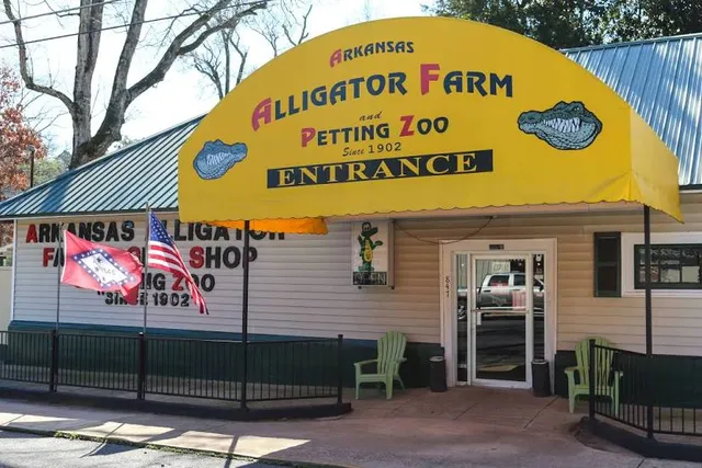
Arkansas Alligator Farm & Petting Zoo
4.3
(1.3K)
Closed
Click for details
Downtown Association of Hot Springs
4.3
(9)
Open 24 hours
Click for details

Whittington Park Historic Marker
4.2
(11)
Open 24 hours
Click for details
Nearby restaurants of Sunset Trail
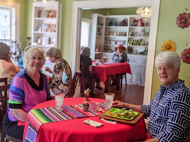
3B's Bar and Grill
Best Cafe & Bar
Dairy Queen Grill & Chill
Capachi’s Coffee and Tea
Surfas Culinary District
Taco Mama - Side Town
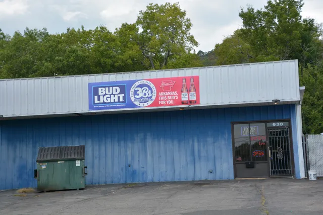
3B's Bar and Grill
4.4
(259)
$
Open until 2:00 AM
Click for details
Best Cafe & Bar
4.6
(456)
$
Closed
Click for details
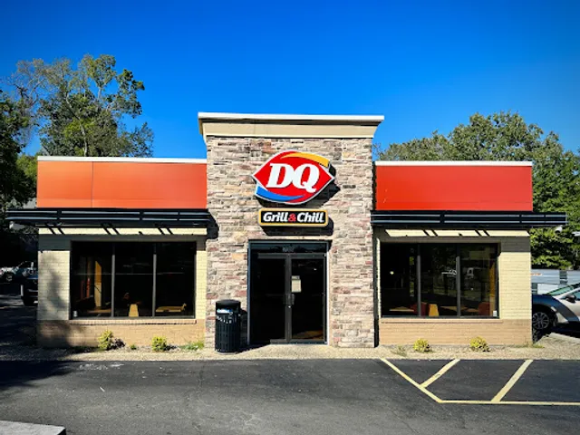
Dairy Queen Grill & Chill
3.8
(622)
$
Closed
Click for details
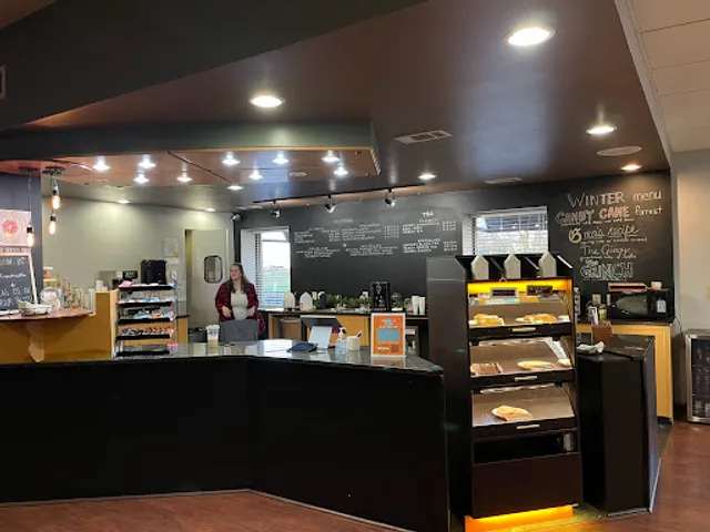
Capachi’s Coffee and Tea
4.8
(143)
$
Closed
Click for details
Nearby local services of Sunset Trail
Grand Lagniappe Shoppe
Quapaw Community Center
Computer Store
Black Cedar Lofts
Grand Lagniappe Shoppe
4.8
(39)
Click for details

Quapaw Community Center
4.7
(42)
Click for details
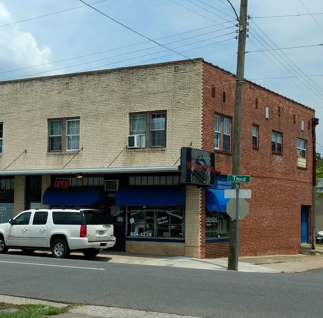
Computer Store
4.8
(99)
Click for details
Black Cedar Lofts
4.6
(9)
Click for details