Wissahickon Valley Park things to do, attractions, restaurants, events info and trip planning

Basic Info
Wissahickon Valley Park
Valley Green Rd, Philadelphia, PA 19128
4.8(794)
Closed
Save
spot
spot
Ratings & Description
Info
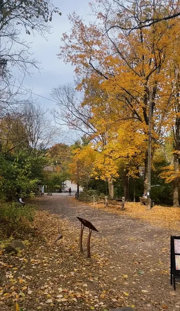
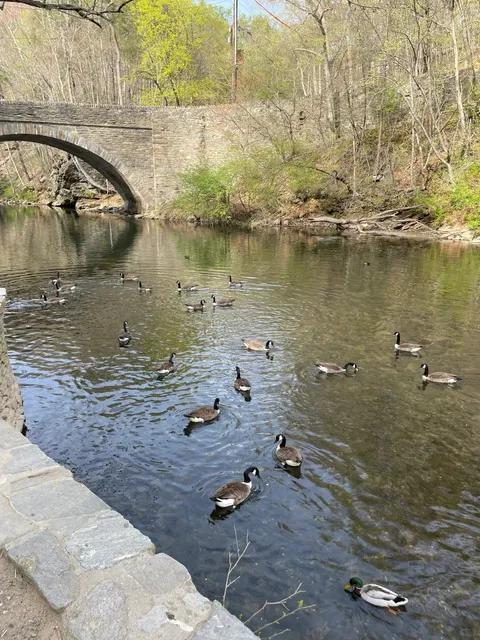
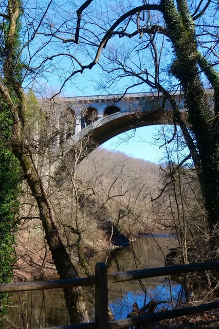
Wissahickon Valley Park is a large urban park that is located in Northwest Philadelphia, Pennsylvania. It protects 2,042 acres of woodland surrounding the Wissahickon Creek between the Montgomery County border and the Schuylkill River.
Outdoor
Family friendly
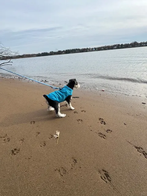
Pet friendly
attractions: Devil's Pool, Glen Fern, restaurants: Valley Green Inn, local businesses: Wissahickon Skating Club, Henry Got Crops CSA and Weavers Way Farm Market at Saul High School
Phone
(215) 247-0417
Website
fow.org
Open hoursSee all hours
SatClosed
Plan your stay

Pet-friendly Hotels in Philadelphia
Find a cozy hotel nearby and make it a full experience.

Affordable Hotels in Philadelphia
Find a cozy hotel nearby and make it a full experience.

The Coolest Hotels You Haven't Heard Of (Yet)
Find a cozy hotel nearby and make it a full experience.

Trending Stays Worth the Hype in Philadelphia
Find a cozy hotel nearby and make it a full experience.
Reviews
Live events

Explore Philly’s kept secrets
Sat, Feb 28 • 4:00 PM
Philadelphia, Pennsylvania, 19103
View details

2026 Eastern Pennsylvania Youth Soccer Annual Awards Banquet
Fri, Feb 27 • 6:00 PM
480 North Gulph Road King of Prussia, PA 19406
View details
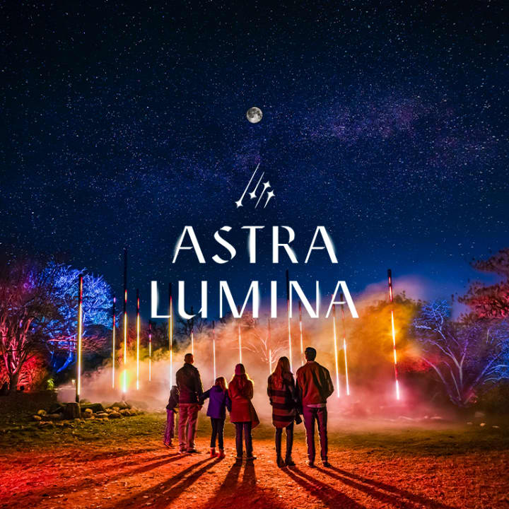
Astra Lumina: An Enchanted Night Walk Amongst the Stars
Sat, Feb 21 • 7:15 PM
515 Meetinghouse Road, Jenkintown PA, 19046
View details
Nearby attractions of Wissahickon Valley Park
Devil's Pool
Glen Fern

Devil's Pool
4.4
(130)
Open 24 hours
Click for details

Glen Fern
4.7
(80)
Closed
Click for details
Nearby restaurants of Wissahickon Valley Park
Valley Green Inn

Valley Green Inn
4.5
(827)
$$
Closed
Click for details
Nearby local services of Wissahickon Valley Park
Wissahickon Skating Club
Henry Got Crops CSA and Weavers Way Farm Market at Saul High School
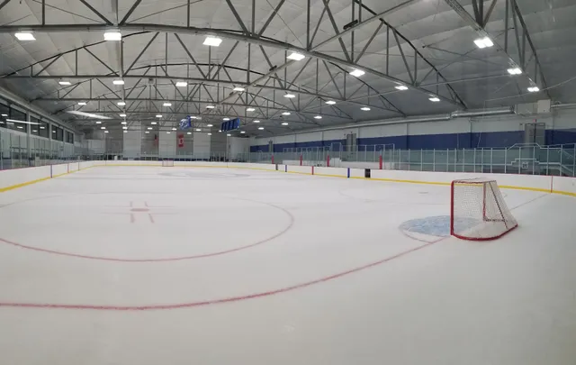
Wissahickon Skating Club
4.5
(121)
Click for details
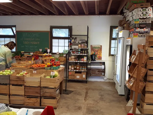
Henry Got Crops CSA and Weavers Way Farm Market at Saul High School
4.6
(71)
Click for details