Wildlands Conservancy’s South Mountain Preserve things to do, attractions, restaurants, events info and trip planning
Basic Info
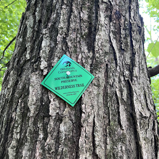
Wildlands Conservancy’s South Mountain Preserve
Alpine St Trail, Emmaus, PA 18049
4.7(244)
Open until 12:00 AM
Save
spot
spot
Ratings & Description
Info
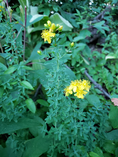
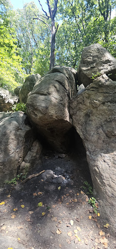
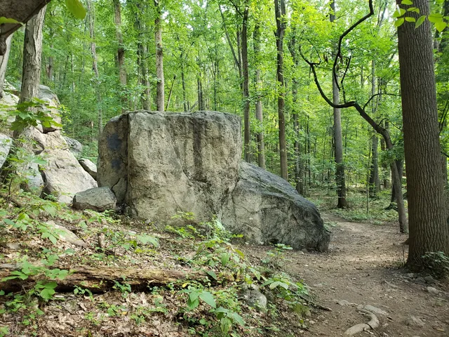
Outdoor
Adventure
Scenic
Family friendly
Pet friendly
Off the beaten path
attractions: Emmaus Public Library, restaurants: Superior, Commix Hotel, Art Beat Studio & Cafe, Tijuana Tacos Mexican Restaurant, Rossi's Pizza & Italian, local businesses: Batteries Plus, Don's Food Market, Batteries Plus Phone Repair
Phone
(610) 965-4397
Website
wildlandspa.org
Open hoursSee all hours
TueOpen 24 hoursOpen
Plan your stay

Pet-friendly Hotels in Salisbury
Find a cozy hotel nearby and make it a full experience.

Affordable Hotels in Salisbury
Find a cozy hotel nearby and make it a full experience.

The Coolest Hotels You Haven't Heard Of (Yet)
Find a cozy hotel nearby and make it a full experience.

Trending Stays Worth the Hype in Salisbury
Find a cozy hotel nearby and make it a full experience.
Reviews
Live events

The Lab: Bi-Weekly Brainstorming Sessions for Creatives
Wed, Jan 28 • 7:00 PM
12 South Sitgreaves Street, Easton, PA 18042
View details

Better Smartphone Photography
Sat, Jan 31 • 1:30 PM
1439 West Fairmont Street, Allentown, PA 18102
View details

Girls Night Out The Show® AUSTRALIA TAKEOVER EASTON,PA USA!!!
Wed, Jan 28 • 8:00 PM
5 Lehns Court Easton, PA 18042
View details
Nearby attractions of Wildlands Conservancy’s South Mountain Preserve
Emmaus Public Library
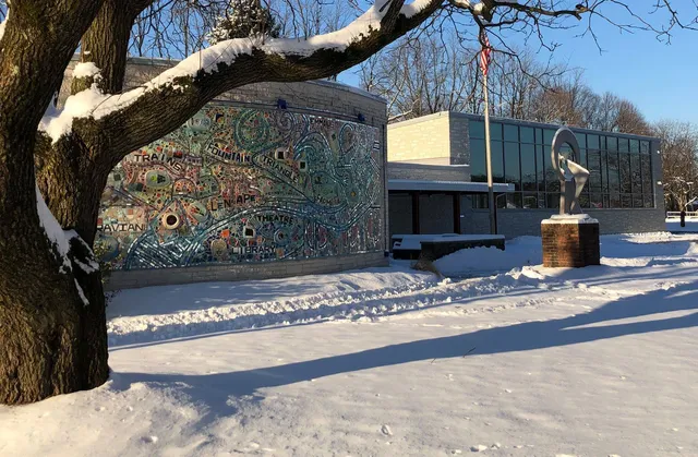
Emmaus Public Library
4.8
(38)
Closed
Click for details
Nearby restaurants of Wildlands Conservancy’s South Mountain Preserve
Superior
Commix Hotel
Art Beat Studio & Cafe
Tijuana Tacos Mexican Restaurant
Rossi's Pizza & Italian
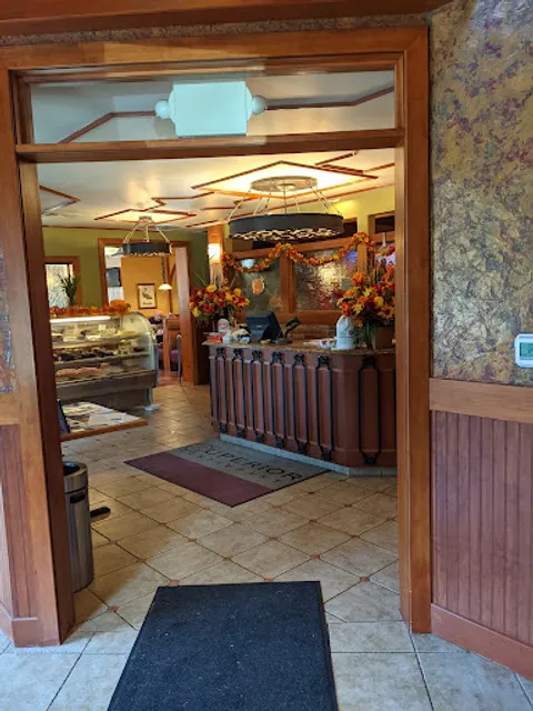
Superior
4.4
(785)
$
Closed
Click for details

Commix Hotel
4.4
(324)
$
Closed
Click for details
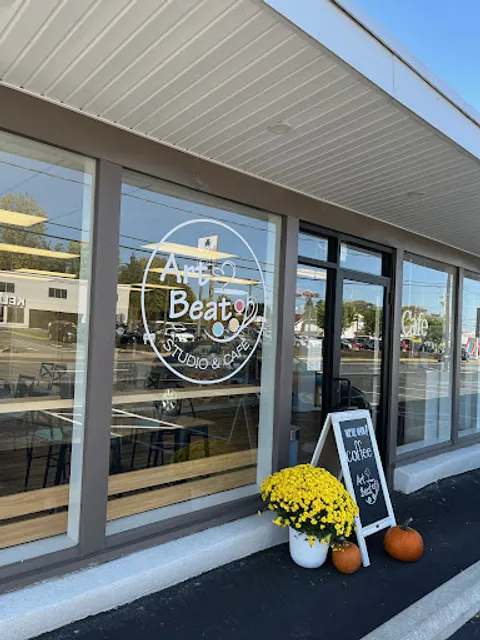
Art Beat Studio & Cafe
4.8
(44)
$
Open until 12:00 AM
Click for details
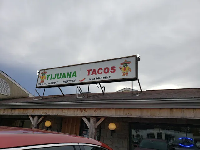
Tijuana Tacos Mexican Restaurant
4.4
(251)
$
Open until 12:00 AM
Click for details
Nearby local services of Wildlands Conservancy’s South Mountain Preserve
Batteries Plus
Don's Food Market
Batteries Plus Phone Repair
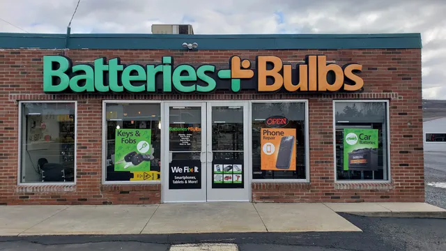
Batteries Plus
4.5
(230)
Click for details
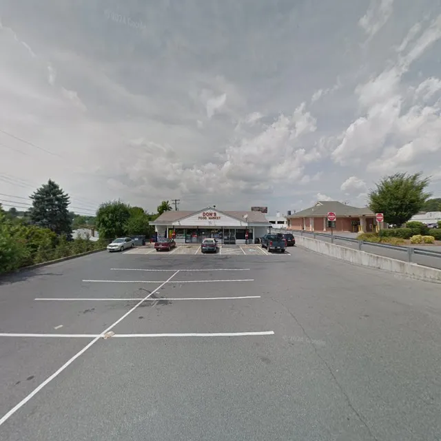
Don's Food Market
4.6
(35)
Click for details

Batteries Plus Phone Repair
4.4
(81)
Click for details