Angel Island things to do, attractions, restaurants, events info and trip planning
Basic Info
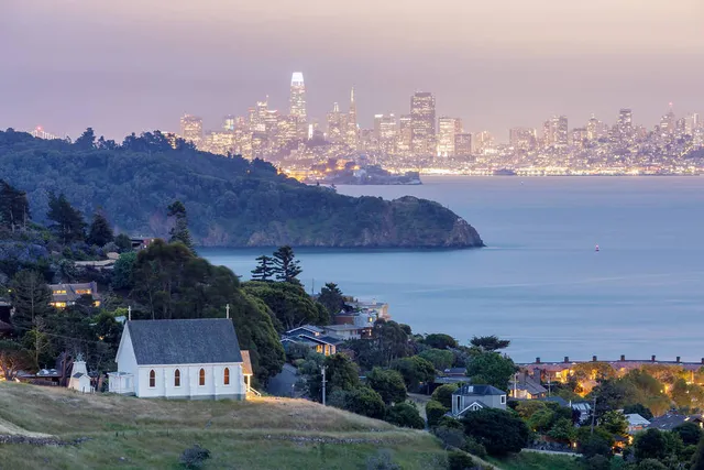
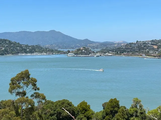
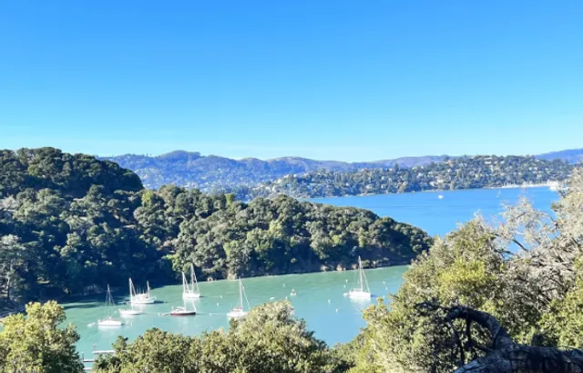
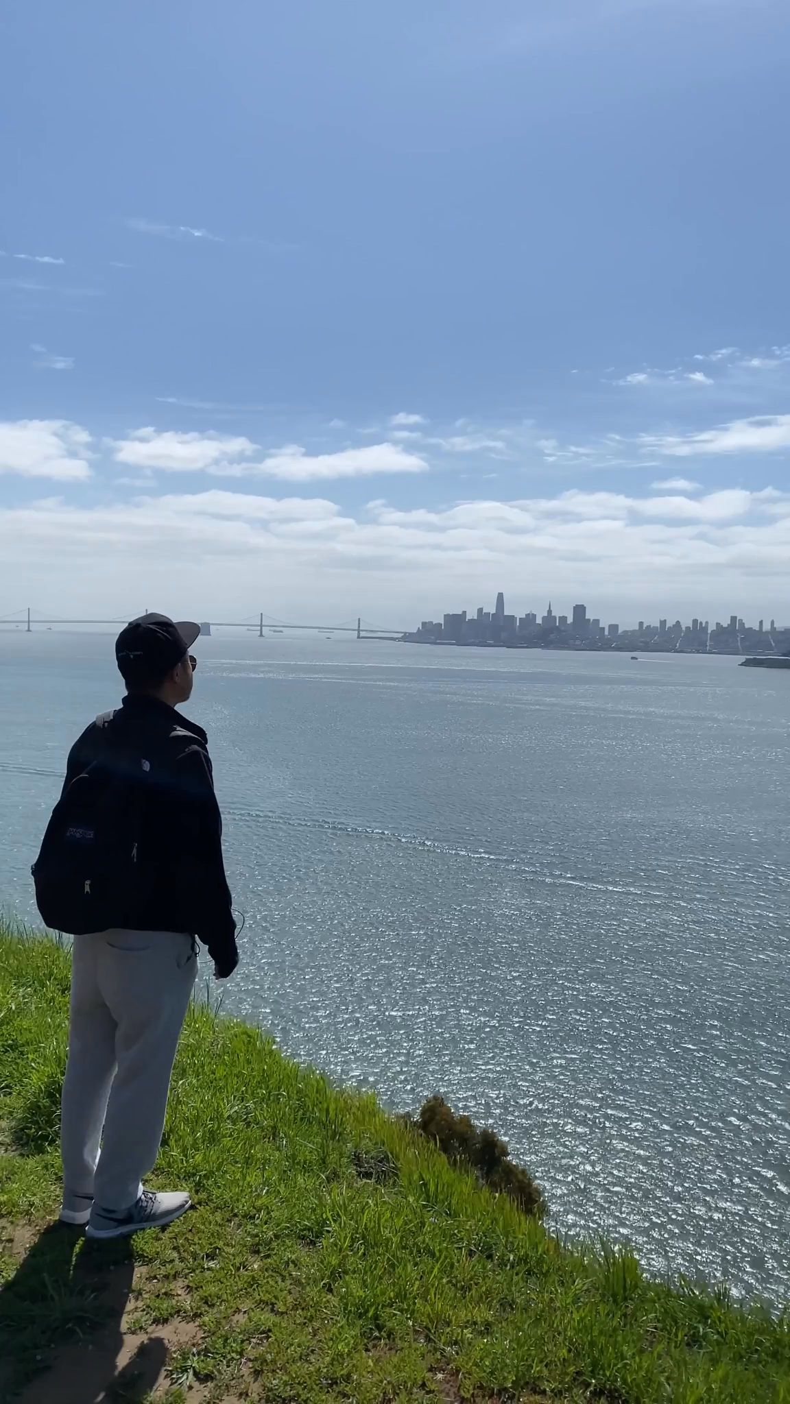
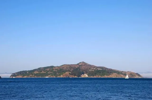
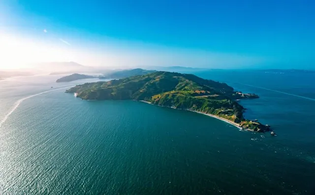
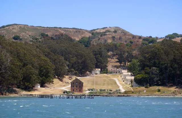
Angel Island
Tiburon, CA 94920
4.5(198)
Open 24 hours
Save
spot
spot
Ratings & Description
Info
Angel Island is an island in San Francisco Bay. The entire island is included within Angel Island State Park, administered by California State Parks.
Cultural
Outdoor
Scenic
Family friendly
attractions: Angel Island State Park, Summit of Mt. Livermore, Angel Island Ranger Station, Camp Reynolds (West Garrison), Battery Ledyard, restaurants: Angel Island Café, Angel Island Company Office
Plan your stay

Pet-friendly Hotels in Tiburon
Find a cozy hotel nearby and make it a full experience.

Affordable Hotels in Tiburon
Find a cozy hotel nearby and make it a full experience.

The Coolest Hotels You Haven't Heard Of (Yet)
Find a cozy hotel nearby and make it a full experience.

Trending Stays Worth the Hype in Tiburon
Find a cozy hotel nearby and make it a full experience.
Reviews
Nearby attractions of Angel Island
Angel Island State Park
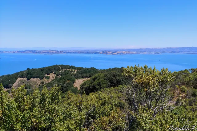
Summit of Mt. Livermore
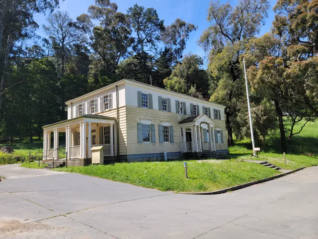
Angel Island Ranger Station
Camp Reynolds (West Garrison)
Battery Ledyard
Angel Island State Park
4.8
(1.1K)
Open 24 hours
Click for details
Summit of Mt. Livermore
4.9
(93)
Open 24 hours
Click for details
Angel Island Ranger Station
4.1
(33)
Open 24 hours
Click for details
Camp Reynolds (West Garrison)
4.8
(30)
Open 24 hours
Click for details
Things to do nearby
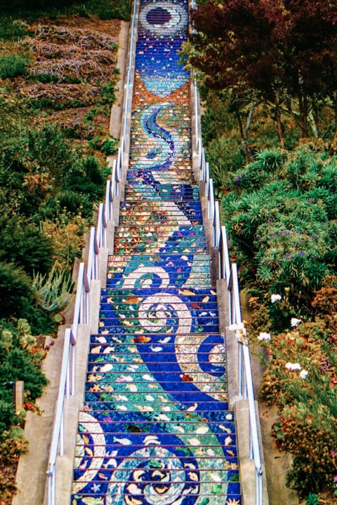
Hidden Stairways of San Francisco
Sun, Dec 28 • 10:00 AM
San Francisco, California, 94122
View details
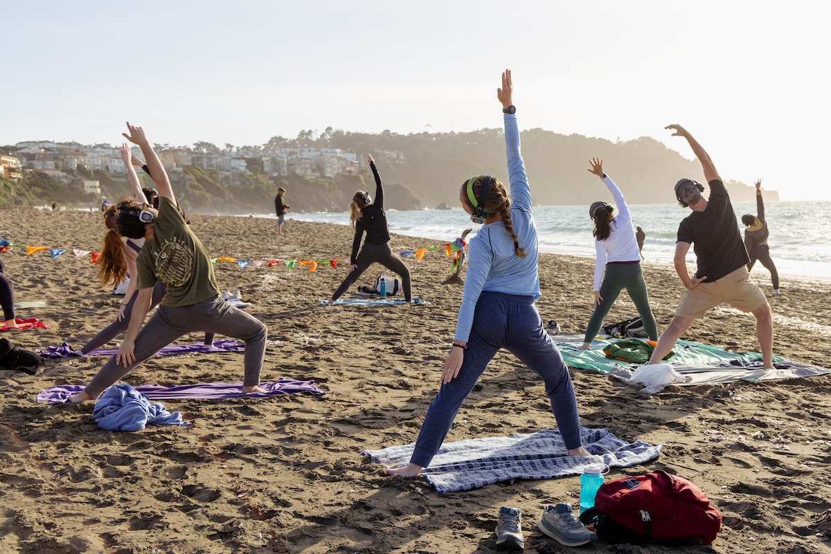
Magical Beach Yoga Experience
Sun, Dec 28 • 10:30 AM
San Francisco, California, 94129
View details
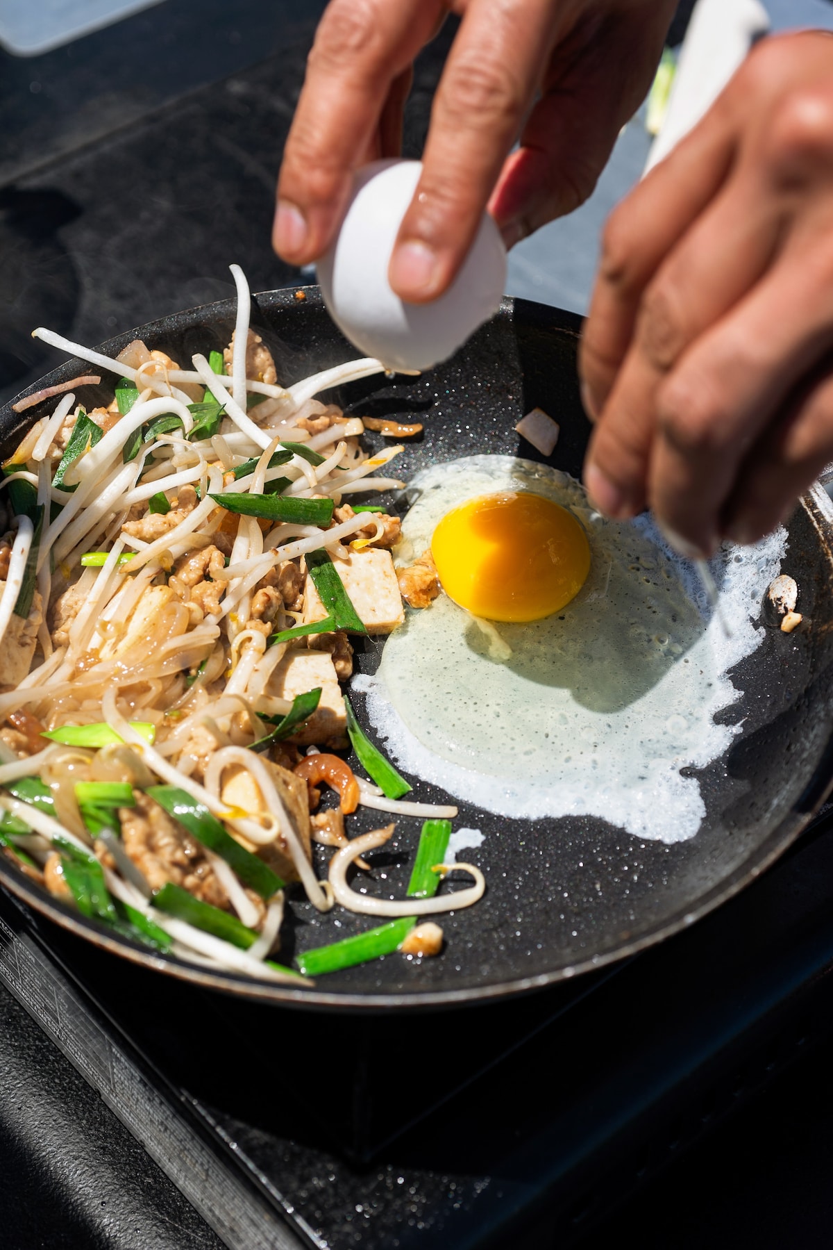
Thai Cooking in San Francisco – Dine with a View
Sat, Jan 3 • 11:00 AM
San Francisco, California, 94110
View details
Nearby restaurants of Angel Island
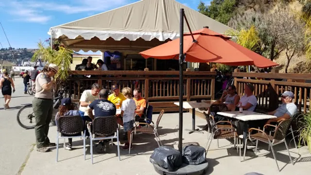
Angel Island Café
Angel Island Company Office
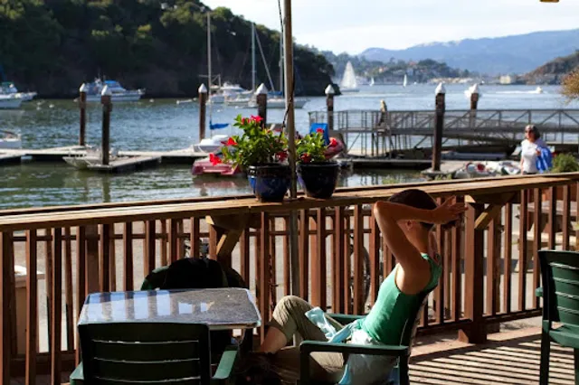
Angel Island Café
4.1
(115)
Click for details
Angel Island Company Office
4.0
(33)
Click for details