Charles Sauriol Conservation Area things to do, attractions, restaurants, events info and trip planning
Basic Info
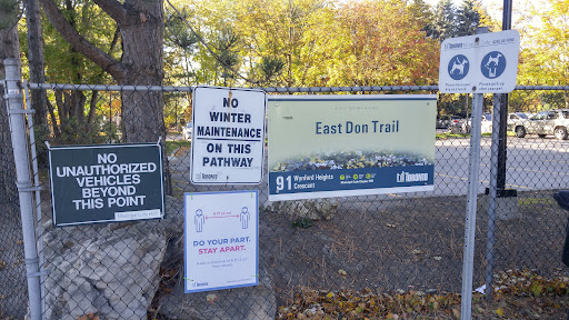
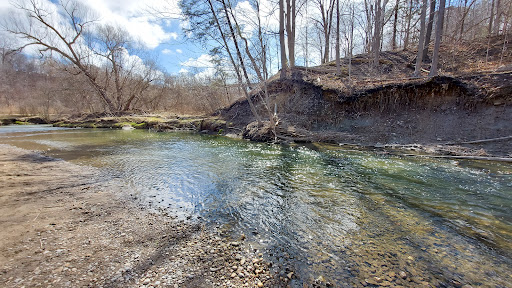
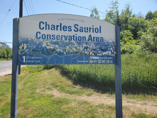
Charles Sauriol Conservation Area
1191 Lawrence Ave E, North York, ON M3A 3P9, Canada
4.6(370)
Open until 12:00 AM
Save
spot
spot
Ratings & Description
Info
Outdoor
Adventure
Scenic
Family friendly
Pet friendly
attractions: Charles Sauriol Park, Aga Khan Museum, Victoria Village Arena, The Church In Toronto, The Aga Khan Park, Rainbow Tunnel, restaurants: Cj's Bella treats (pre-orders only ) 1 business day needed, Tim Hortons, The Halal Stop, Best Hakka Restaurant, Chaska Indian Street Food, Smack Burger, Pizza Nova, Bibab Express, Tim Hortons, Tim Hortons, local businesses: Marcheleo's Market, Grace Fellowship Church East Toronto, Duo Law Professional Corporation, Flemingdon Park Golf Club, Don River, McDonald's - Corporate Office
Phone
+1 416-338-4386
Website
toronto.ca
Open hoursSee all hours
SunOpen 24 hoursOpen
Plan your stay

Pet-friendly Hotels in Toronto
Find a cozy hotel nearby and make it a full experience.

Affordable Hotels in Toronto
Find a cozy hotel nearby and make it a full experience.

The Coolest Hotels You Haven't Heard Of (Yet)
Find a cozy hotel nearby and make it a full experience.

Trending Stays Worth the Hype in Toronto
Find a cozy hotel nearby and make it a full experience.
Reviews
Live events

The Empire Strips Back: A Burlesque Parody
Sun, Feb 22 • 4:00 PM
608 College Street, Toronto, M6G 1B4
View details
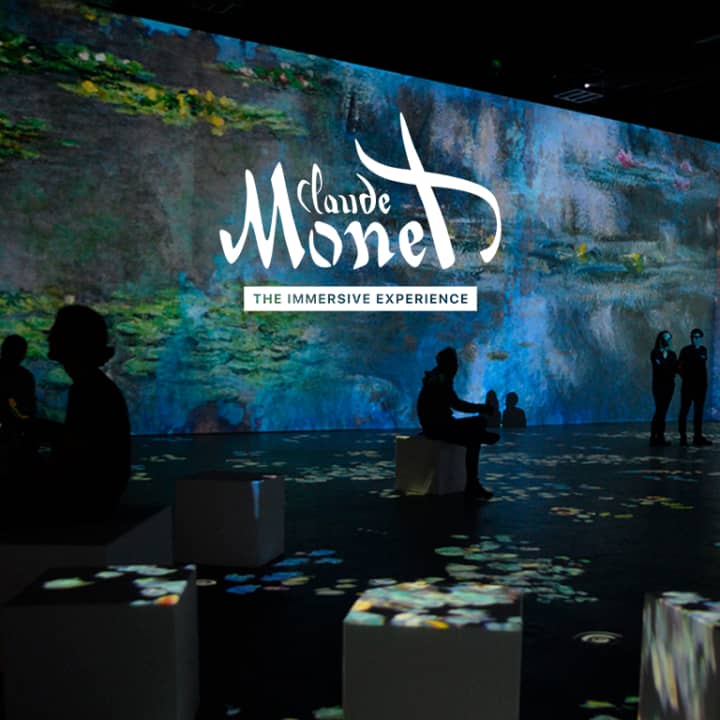
Monet: The Immersive Experience
Fri, Feb 27 • 10:00 AM
30 Hanover Rd, North York, M3K 0E2
View details

Create a custom silver ring with a goldsmith
Mon, Feb 23 • 9:30 AM
Toronto, Ontario, M6J 0A8, Canada
View details
Nearby attractions of Charles Sauriol Conservation Area
Charles Sauriol Park
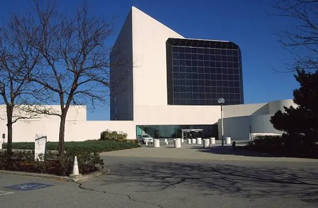
Aga Khan Museum
Victoria Village Arena
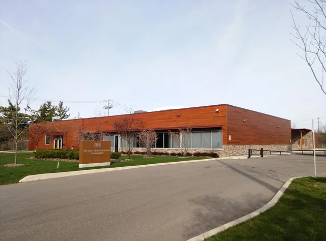
The Church In Toronto
The Aga Khan Park
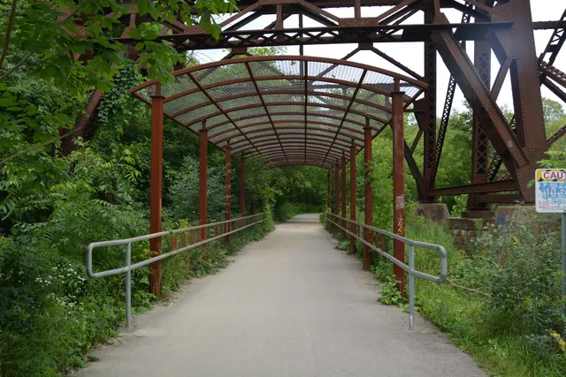
Rainbow Tunnel

Charles Sauriol Park
4.5
(10)
Open until 12:00 AM
Click for details
Aga Khan Museum
4.5
(3K)
Closed
Click for details

Victoria Village Arena
4.3
(155)
Open 24 hours
Click for details
The Church In Toronto
4.8
(37)
Open 24 hours
Click for details
Nearby restaurants of Charles Sauriol Conservation Area
Cj's Bella treats (pre-orders only ) 1 business day needed
Tim Hortons
The Halal Stop
Best Hakka Restaurant
Chaska Indian Street Food
Smack Burger
Pizza Nova
Bibab Express
Tim Hortons
Tim Hortons

Cj's Bella treats (pre-orders only ) 1 business day needed
5.0
(1)
Open until 12:00 AM
Click for details
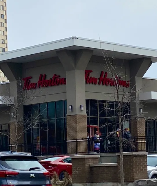
Tim Hortons
3.9
(604)
Open until 9:00 PM
Click for details
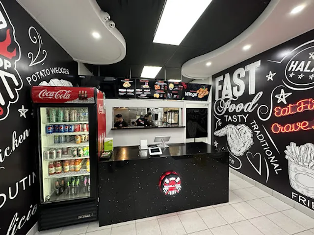
The Halal Stop
4.7
(317)
Closed
Click for details

Best Hakka Restaurant
4.3
(291)
Closed
Click for details
Nearby local services of Charles Sauriol Conservation Area
Marcheleo's Market
Grace Fellowship Church East Toronto
Duo Law Professional Corporation
Flemingdon Park Golf Club
Don River
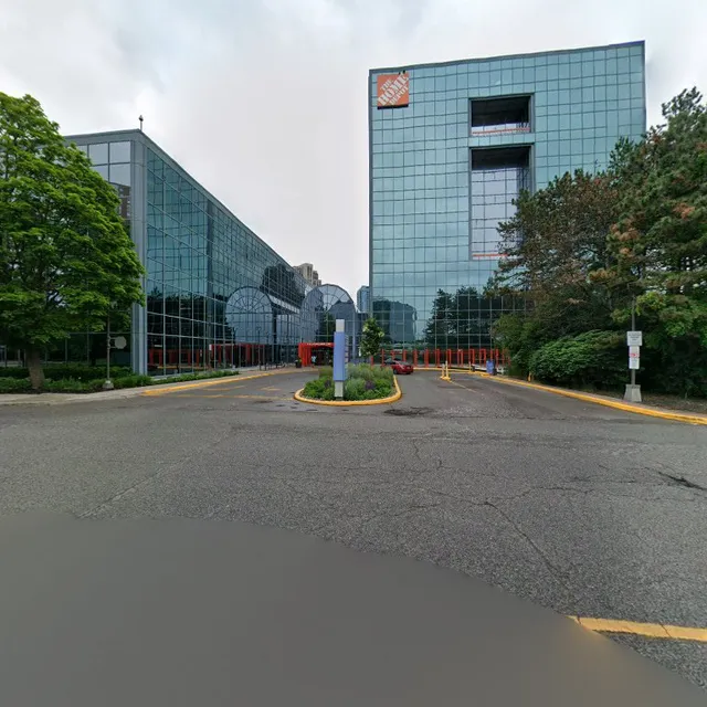
McDonald's - Corporate Office
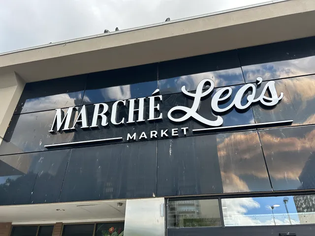
Marcheleo's Market
4.2
(231)
Click for details
Grace Fellowship Church East Toronto
5.0
(28)
Click for details
Duo Law Professional Corporation
5.0
(15)
Click for details
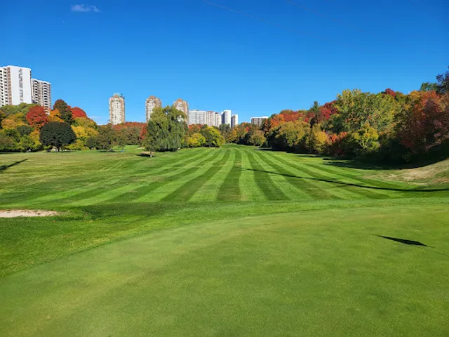
Flemingdon Park Golf Club
4.5
(199)
Click for details