Sawpit Gully Track / Arrow River Trail / Motatapu Track things to do, attractions, restaurants, events info and trip planning
Basic Info
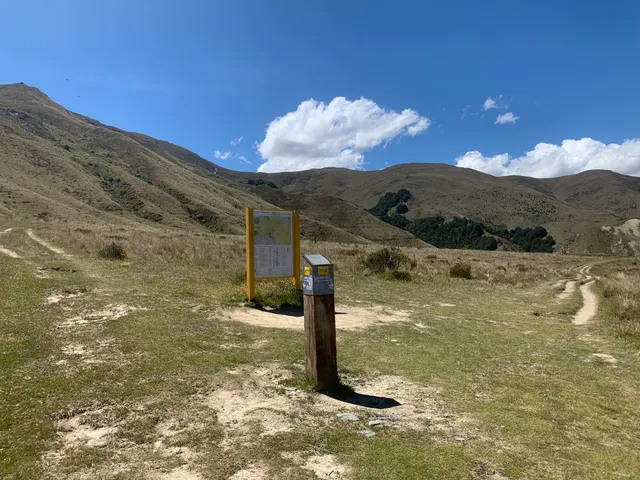
Sawpit Gully Track / Arrow River Trail / Motatapu Track
Te Araroa Trail, 9371, New Zealand
4.7(20)
Open until 12:00 AM
Save
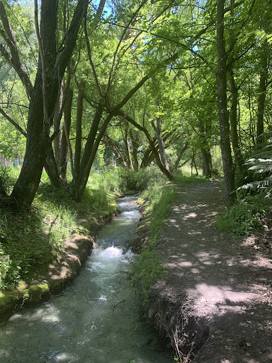
spot
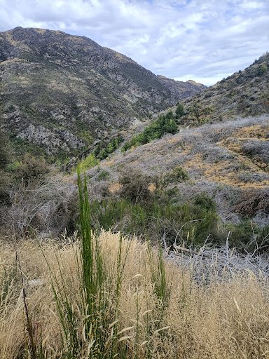
spot
Ratings & Description
Info
Outdoor
Adventure
Scenic
Off the beaten path
Pet friendly
attractions: Historic Arrowtown Chinese Settlement, Dudley's Cottage Precinct, Lakes District Museum & Gallery, Arrow River Trail / Bush Creek Trail / Big Hill Trail / Sawpit Gully Trail, Arrowtown Information Center, Black Teal Bay, Queenstown Trail, The Gold Nugget, Arrowtown Gold Panning Company, Giraffe Art Gallery, restaurants: Arrowtown Bakery, Patagonia Chocolates, Dishery, Arrow Thai Food, Bianca by Giovi, Bendix Stables, Slow Cuts, Mantra Restaurant, Wolf Coffee Roasters, Aosta, local businesses: Renata Garbin Massage Therapist, The Remarkable Sweet Shop - Arrowtown Shop, Buckingham Street Car Park, New Zealand Trails, Arrowtown Athenaeum Hall, Arrowtown Gold Panning Company, Rainbow Doorways, Royalburn Farm Shop, Fergbutcher
Open hoursSee all hours
ThuOpen 24 hoursOpen
Plan your stay

Pet-friendly Hotels in South Island
Find a cozy hotel nearby and make it a full experience.

Affordable Hotels in South Island
Find a cozy hotel nearby and make it a full experience.

The Coolest Hotels You Haven't Heard Of (Yet)
Find a cozy hotel nearby and make it a full experience.

Trending Stays Worth the Hype in South Island
Find a cozy hotel nearby and make it a full experience.
Reviews
Live events

iFLY Indoor Skydiving Queenstown
Wed, Feb 11 • 9:00 PM
Windsor Gardens, 5087
View details

Above The Skyline Quads
Wed, Feb 11 • 9:00 PM
Queenstown, 9300
View details

KJet Queenstown Jet Boat Ride on the Kawarau and Shotover Rivers
Wed, Feb 11 • 9:00 PM
Main Town Pier, Marine Parade, Queenstown, 9348
View details
Nearby attractions of Sawpit Gully Track / Arrow River Trail / Motatapu Track
Historic Arrowtown Chinese Settlement
Dudley's Cottage Precinct
Lakes District Museum & Gallery
Arrow River Trail / Bush Creek Trail / Big Hill Trail / Sawpit Gully Trail
Arrowtown Information Center
Black Teal Bay
Queenstown Trail
The Gold Nugget
Arrowtown Gold Panning Company
Giraffe Art Gallery
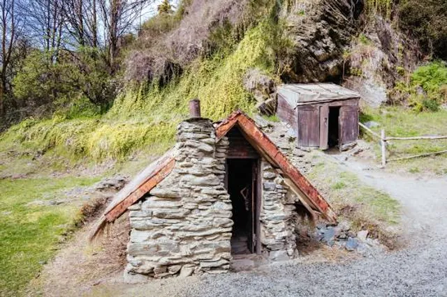
Historic Arrowtown Chinese Settlement
4.4
(1.2K)
Open until 12:00 AM
Click for details
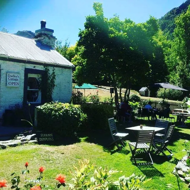
Dudley's Cottage Precinct
4.4
(90)
Closed
Click for details
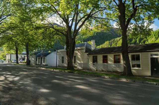
Lakes District Museum & Gallery
4.5
(594)
Closed
Click for details
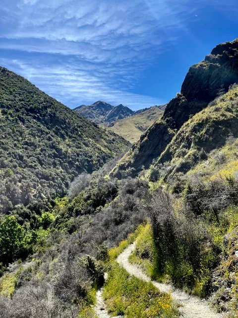
Arrow River Trail / Bush Creek Trail / Big Hill Trail / Sawpit Gully Trail
4.5
(23)
Open 24 hours
Click for details
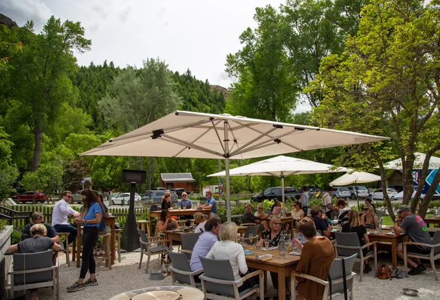
Nearby restaurants of Sawpit Gully Track / Arrow River Trail / Motatapu Track
Arrowtown Bakery
Patagonia Chocolates
Dishery
Arrow Thai Food
Bianca by Giovi
Bendix Stables
Slow Cuts
Mantra Restaurant
Wolf Coffee Roasters
Aosta
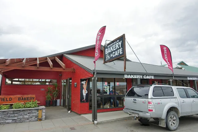
Arrowtown Bakery
4.4
(552)
Closed
Click for details
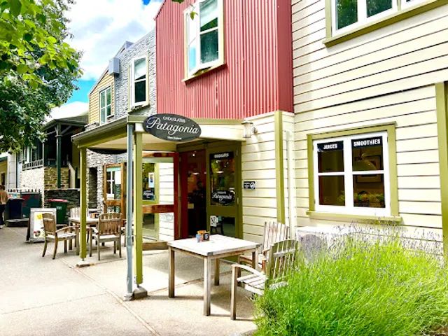
Patagonia Chocolates
4.5
(435)
Closed
Click for details
Dishery
4.6
(177)
Closed
Click for details
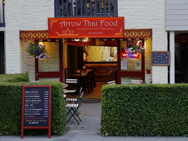
Arrow Thai Food
3.9
(216)
Closed
Click for details
Nearby local services of Sawpit Gully Track / Arrow River Trail / Motatapu Track
Renata Garbin Massage Therapist
The Remarkable Sweet Shop - Arrowtown Shop
Buckingham Street Car Park
New Zealand Trails
Arrowtown Athenaeum Hall
Arrowtown Gold Panning Company
Rainbow Doorways
Royalburn Farm Shop
Fergbutcher
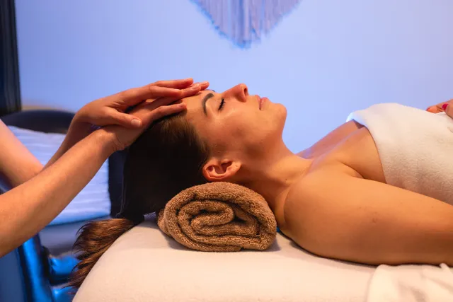
Renata Garbin Massage Therapist
5.0
(39)
Click for details
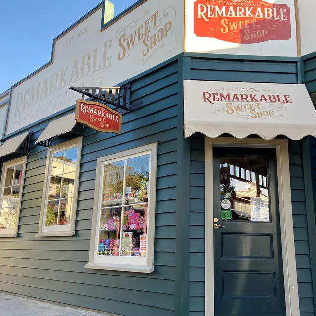
The Remarkable Sweet Shop - Arrowtown Shop
4.5
(126)
Click for details
Buckingham Street Car Park
4.4
(9)
Click for details

New Zealand Trails
5.0
(66)
Click for details