Mt. Qixing Xiaoyoukeng Trail things to do, attractions, restaurants, events info and trip planning
Basic Info
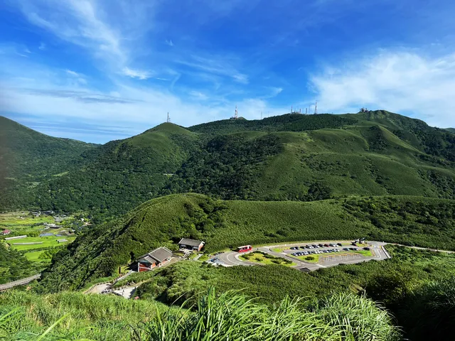
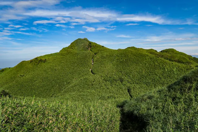
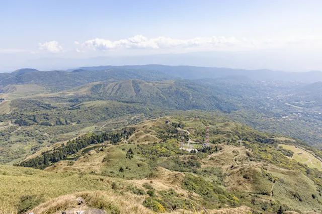
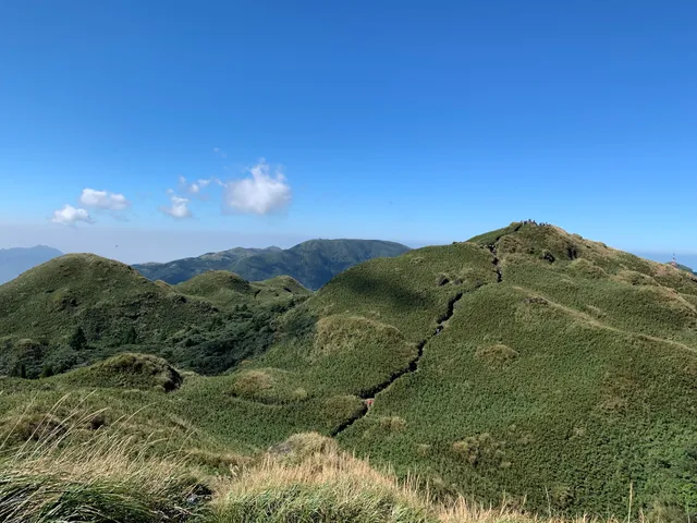
Mt. Qixing Xiaoyoukeng Trail
112, Taiwan, Taipei City, Beitou District
4.7(145)
Open until 12:00 AM
Save
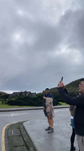
spot
spot
Ratings & Description
Info
Outdoor
Adventure
Scenic
Family friendly
Off the beaten path
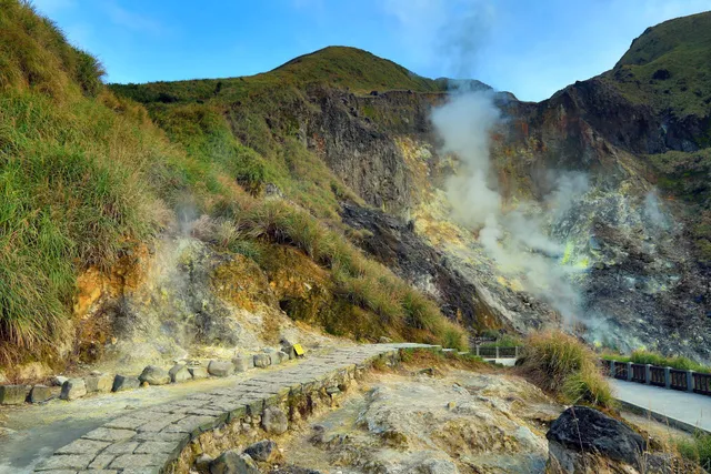
attractions: Xiaoyoukeng Trail Viewing Platform, Mount Qixing Main Peak, Qixingshan Trail, Qixingshan South Peak, Xiaoyoukeng Visitor Center, Xiaoyoukeng Recreation Area, Xiǎo yóu kēng Fumarole, Mount Qixing East Peak, Xiaoyoukeng Bridge, Qixingshan Trailhead - Xiaoyoukeng, restaurants: , local businesses: Shichisei Mountain, Tatun Volcano Group, 七星山東峰, Xiaoyoukeng Service Center, 小油坑山
Phone
+886 2 2861 3601
Website
ymsnp.gov.tw
Open hoursSee all hours
MonOpen 24 hoursOpen
Plan your stay

Pet-friendly Hotels in Taipei
Find a cozy hotel nearby and make it a full experience.

Affordable Hotels in Taipei
Find a cozy hotel nearby and make it a full experience.

The Coolest Hotels You Haven't Heard Of (Yet)
Find a cozy hotel nearby and make it a full experience.

Trending Stays Worth the Hype in Taipei
Find a cozy hotel nearby and make it a full experience.
Reviews
Live events

AI Investing Meetup
Tue, Feb 10 • 10:00 AM
Zhongshan District, Taipei City
View details

戰術星期二 Tactical Tuesday
Tue, Feb 10 • 11:30 AM
Daan Forest Park, No. 1號, Section 2, Xinsheng S Rd, Da’an District, Taipei City, Taiwan 106
View details

Impressive 印象 ⋅ Rainforest 雨林 - Serina Sung 油畫個展開幕茶會 / Oil Painting SOLO Showcase Opening Reception
Sat, Feb 14 • 6:00 AM
No. 13號, Section 2, Nangang Rd, Nangang District, Taipei City, Taiwan 115
View details
Nearby attractions of Mt. Qixing Xiaoyoukeng Trail
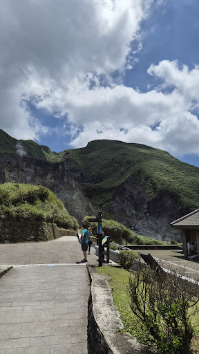
Xiaoyoukeng Trail Viewing Platform
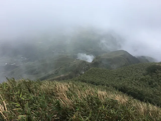
Mount Qixing Main Peak
Qixingshan Trail
Qixingshan South Peak
Xiaoyoukeng Visitor Center
Xiaoyoukeng Recreation Area
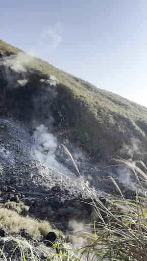
Xiǎo yóu kēng Fumarole
Mount Qixing East Peak
Xiaoyoukeng Bridge
Qixingshan Trailhead - Xiaoyoukeng
Xiaoyoukeng Trail Viewing Platform
4.5
(30)
Open until 12:00 AM
Click for details
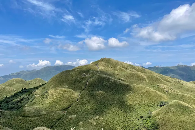
Mount Qixing Main Peak
4.9
(348)
Open until 12:00 AM
Click for details
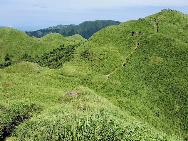
Qixingshan Trail
4.7
(455)
Open until 12:00 AM
Click for details

Qixingshan South Peak
4.5
(55)
Open until 12:00 AM
Click for details
Nearby local services of Mt. Qixing Xiaoyoukeng Trail
Shichisei Mountain
Tatun Volcano Group
七星山東峰
Xiaoyoukeng Service Center
小油坑山
Shichisei Mountain
4.8
(410)
Click for details
Tatun Volcano Group
4.1
(75)
Click for details
七星山東峰
4.8
(122)
Click for details
Xiaoyoukeng Service Center
4.5
(66)
Click for details