Captain Cook Monument Trail things to do, attractions, restaurants, events info and trip planning
Basic Info
Captain Cook Monument Trail
Napoopoo Rd, Captain Cook, HI 96704, United States
4.5(621)
Open until 12:00 AM
Save
spot
spot
Ratings & Description
Info
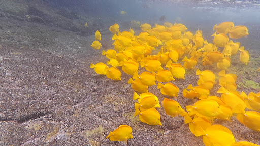
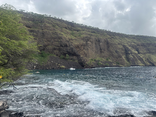
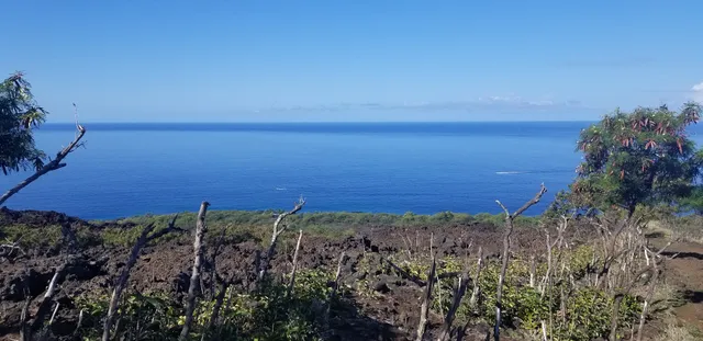
Outdoor
Adventure
Scenic
attractions: Pure Kona Green Market, Amy Greenwell Ethnobotanical Garden, restaurants: Around The Kava Bowl, L&L Hawaiian Barbecue, Ho'o Hui - The Gathering Place, HiCO Hawaiian Coffee, Black Rock Pizza - Captain Cook, local businesses: Keopuka Square Shopping Center, NAPA Auto Parts - Parts Center Hawaii
Open hoursSee all hours
SatOpen 24 hoursOpen
Plan your stay

Pet-friendly Hotels in Hawaii
Find a cozy hotel nearby and make it a full experience.

Affordable Hotels in Hawaii
Find a cozy hotel nearby and make it a full experience.

The Coolest Hotels You Haven't Heard Of (Yet)
Find a cozy hotel nearby and make it a full experience.

Trending Stays Worth the Hype in Hawaii
Find a cozy hotel nearby and make it a full experience.
Reviews
Live events

Parrots in Paradise Sanctuary
Mon, Feb 16 • 10:00 AM
Kealakekua, Hawaii, 96750
View details

Kona Surf Lesson
Sat, Feb 14 • 8:00 AM
Kailua-Kona, Hawaii, 96740
View details

Lā Ho’oipoipo 2026 Benefit Concert in Kailua-Kona
Sat, Feb 14 • 3:30 PM
Ali‘i Drive Kailua-Kona, HI 96740
View details
Nearby attractions of Captain Cook Monument Trail
Pure Kona Green Market
Amy Greenwell Ethnobotanical Garden
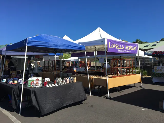
Pure Kona Green Market
4.7
(315)
Open until 12:00 AM
Click for details
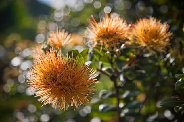
Amy Greenwell Ethnobotanical Garden
4.5
(57)
Closed
Click for details
Nearby restaurants of Captain Cook Monument Trail
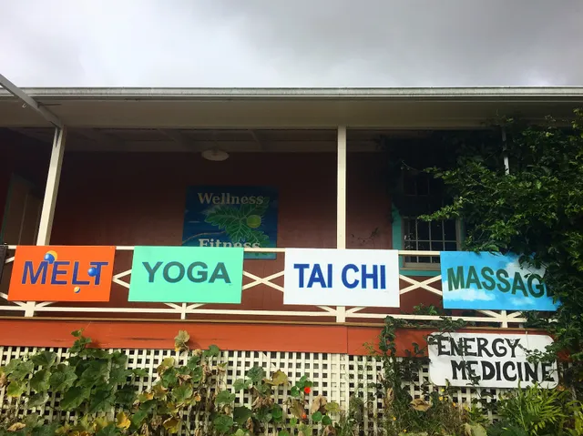
Around The Kava Bowl
L&L Hawaiian Barbecue
Ho'o Hui - The Gathering Place
HiCO Hawaiian Coffee
Black Rock Pizza - Captain Cook
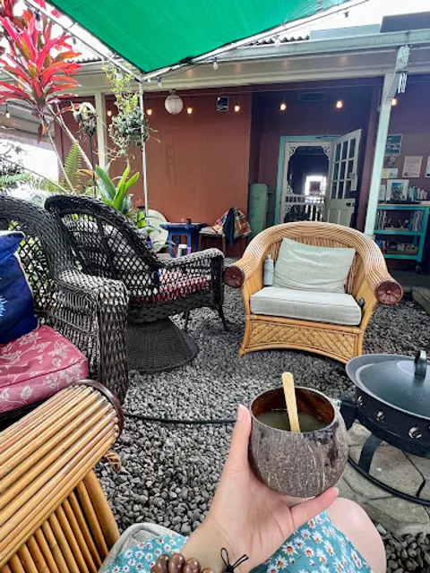
Around The Kava Bowl
4.9
(37)
Closed
Click for details
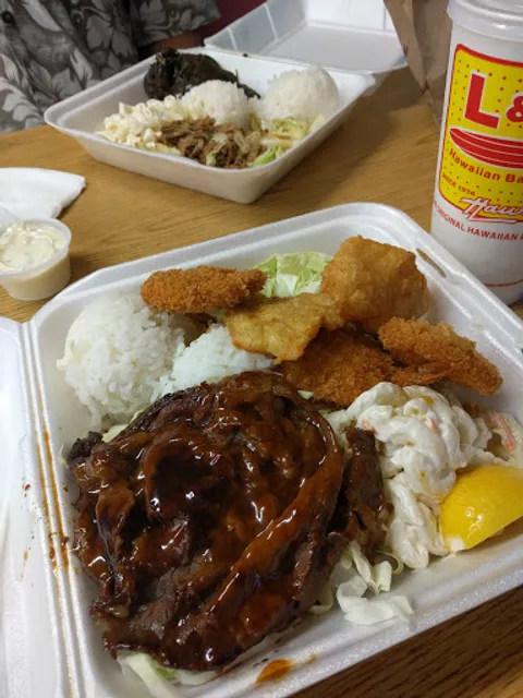
L&L Hawaiian Barbecue
3.9
(267)
$
Open until 9:00 PM
Click for details
Ho'o Hui - The Gathering Place
4.8
(6)
Open until 12:00 AM
Click for details
HiCO Hawaiian Coffee
4.7
(255)
$
Closed
Click for details
Nearby local services of Captain Cook Monument Trail
Keopuka Square Shopping Center
NAPA Auto Parts - Parts Center Hawaii

Keopuka Square Shopping Center
4.5
(256)
Click for details
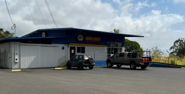
NAPA Auto Parts - Parts Center Hawaii
4.1
(57)
Click for details