West Duwamish Greenbelt Trails things to do, attractions, restaurants, events info and trip planning
Basic Info
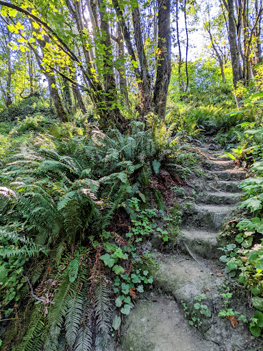
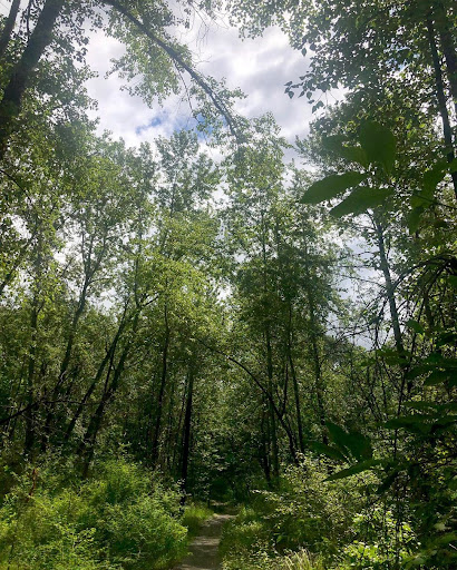
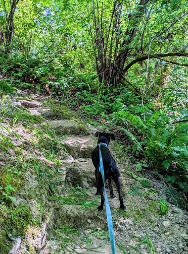
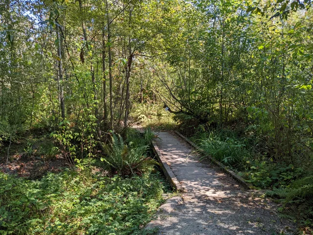
West Duwamish Greenbelt Trails
Seattle, WA 98106, United States
4.2(23)
Open until 11:30 PM
Save
spot
spot
Ratings & Description
Info
Outdoor
Adventure
Family friendly
Pet friendly
Off the beaten path
attractions: Riverview Playfield, Seattle Chinese Garden, Northwest Wine Academy, Puget Ridge Playground, restaurants: Mighty Mugs Coffee, Subway, local businesses: South Seattle College, Alaska Marine Lines, Eagle Rock Landscaping, 6760 W Marginal Wy SW, Astra Lumina Seattle, Alaska Marine Lines, SSC Arboretum, Seattle Mart
Website
wdgtrails.org
Open hoursSee all hours
Tue4 a.m. - 11:30 p.m.Open
Plan your stay

Pet-friendly Hotels in Seattle
Find a cozy hotel nearby and make it a full experience.

Affordable Hotels in Seattle
Find a cozy hotel nearby and make it a full experience.

The Coolest Hotels You Haven't Heard Of (Yet)
Find a cozy hotel nearby and make it a full experience.

Trending Stays Worth the Hype in Seattle
Find a cozy hotel nearby and make it a full experience.
Reviews
Live events

AI Meet-up!
Wed, Feb 11 • 7:30 PM
9415 Coppertop Loop Northeast Bainbridge Island, WA 98110
View details

Galentine’s Day
Fri, Feb 13 • 5:00 PM
22311 84th Avenue South Kent, WA 98032
View details

After Hours Premier: No Pressure Valentines
Fri, Feb 13 • 7:00 PM
1483 Alaskan Way Seattle, WA 98101
View details
Nearby attractions of West Duwamish Greenbelt Trails
Riverview Playfield
Seattle Chinese Garden
Northwest Wine Academy
Puget Ridge Playground
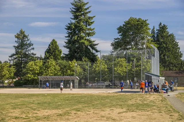
Riverview Playfield
4.3
(178)
Open until 10:00 PM
Click for details
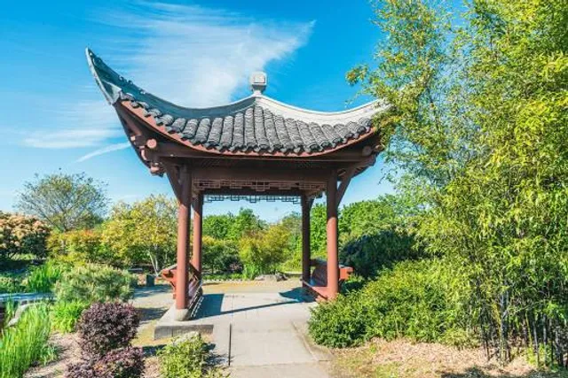
Seattle Chinese Garden
4.6
(425)
Open until 12:00 AM
Click for details
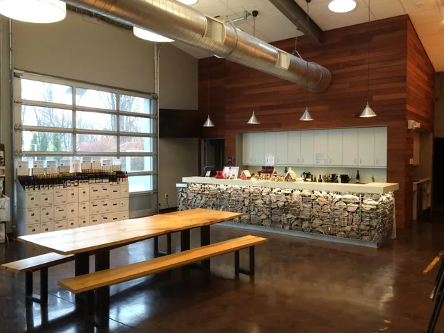
Northwest Wine Academy
5.0
(11)
Open until 12:00 AM
Click for details
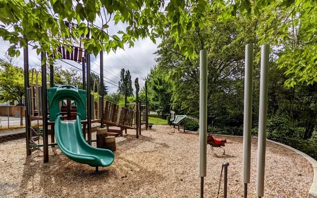
Puget Ridge Playground
4.5
(32)
Open until 11:30 PM
Click for details
Nearby restaurants of West Duwamish Greenbelt Trails
Mighty Mugs Coffee
Subway

Mighty Mugs Coffee
4.5
(54)
$
Open until 5:00 PM
Click for details
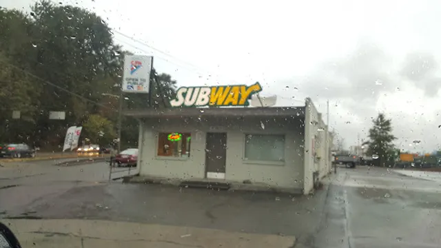
Subway
3.8
(62)
$
Open until 8:00 PM
Click for details
Nearby local services of West Duwamish Greenbelt Trails
South Seattle College
Alaska Marine Lines
Eagle Rock Landscaping
6760 W Marginal Wy SW
Astra Lumina Seattle
Alaska Marine Lines
SSC Arboretum
Seattle Mart
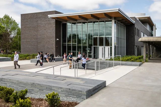
South Seattle College
4.1
(442)
Click for details

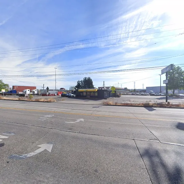
Alaska Marine Lines
4.2
(112)
Click for details

Eagle Rock Landscaping
4.3
(21)
Click for details
6760 W Marginal Wy SW
3.9
(70)
Click for details