Suffern - Bear Mountain Trailhead things to do, attractions, restaurants, events info and trip planning
Basic Info
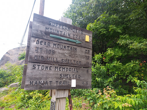
Suffern - Bear Mountain Trailhead
Suffern, NY 10901
4.5(37)
Open until 12:00 AM
Save
spot
spot
Ratings & Description
Info
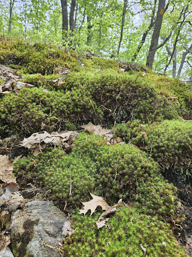
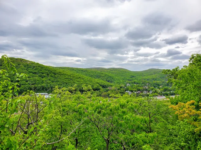
Outdoor
Adventure
Scenic
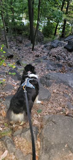
Pet friendly
Family friendly
Off the beaten path
attractions: , restaurants: Curley's Corner, Tequilla Sal Y Limon, Agave Restaurant and Lounge, daNina Italian Restaurant, The Best Diner - Family Restaurant, Noor Biryani Indian Grill, Taqueria America “El Sueño Americano Restaurant”, Plan B, Diddy’s Mexican Restaurant & Bar, Hacienda Don Manuel, local businesses: All Circuit Electric LLC, Self Care By Ney, Bless Flowers, Universal Lacrosse, Revel Salon, Royal Queen Food Take Out, Wow! That's Unusual!, Orange convenience, La Placita Deli Grocery, The Garage Girls
Open hoursSee all hours
SunOpen 24 hoursOpen
Plan your stay

Pet-friendly Hotels in Town of Ramapo
Find a cozy hotel nearby and make it a full experience.

Affordable Hotels in Town of Ramapo
Find a cozy hotel nearby and make it a full experience.

The Coolest Hotels You Haven't Heard Of (Yet)
Find a cozy hotel nearby and make it a full experience.

Trending Stays Worth the Hype in Town of Ramapo
Find a cozy hotel nearby and make it a full experience.
Reviews
Live events

Dopamine Land: A Multisensory Experience
Sun, Feb 15 • 4:00 PM
One Garden State Plaza Pkwy, Paramus, 07652
View details

All Ways Writing Circle
Thu, Feb 19 • 7:00 PM
171 Main Street Nyack, NY 10960
View details

SUNDAY FUNDAY AT CYS
Sun, Feb 15 • 6:00 PM
37 A New York 59 Nyack, NY 10960
View details
Nearby restaurants of Suffern - Bear Mountain Trailhead
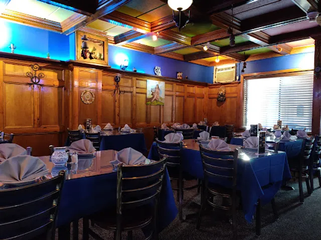
Curley's Corner
Tequilla Sal Y Limon
Agave Restaurant and Lounge
daNina Italian Restaurant
The Best Diner - Family Restaurant
Noor Biryani Indian Grill
Taqueria America “El Sueño Americano Restaurant”
Plan B
Diddy’s Mexican Restaurant & Bar
Hacienda Don Manuel

Curley's Corner
4.4
(168)
$$
Click for details
Tequilla Sal Y Limon
4.5
(223)
$$
Open until 9:00 PM
Click for details
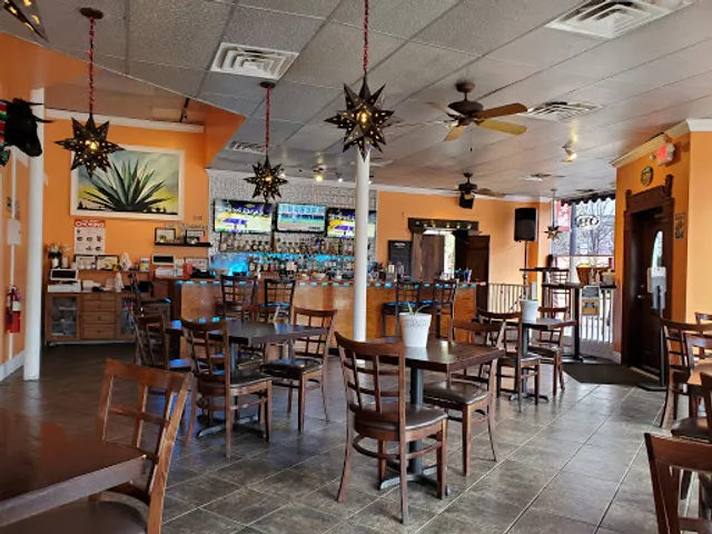
Agave Restaurant and Lounge
4.6
(305)
$$
Open until 10:00 PM
Click for details
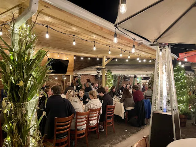
daNina Italian Restaurant
4.6
(250)
$$
Open until 9:00 PM
Click for details
Nearby local services of Suffern - Bear Mountain Trailhead
All Circuit Electric LLC
Self Care By Ney
Bless Flowers
Universal Lacrosse
Revel Salon
Royal Queen Food Take Out
Wow! That's Unusual!
Orange convenience
La Placita Deli Grocery
The Garage Girls
All Circuit Electric LLC
4.9
(35)
Click for details
Self Care By Ney
5.0
(24)
Click for details

Bless Flowers
4.9
(30)
Click for details

Universal Lacrosse
4.8
(46)
Click for details