Abraham Lincoln Park things to do, attractions, restaurants, events info and trip planning
Basic Info
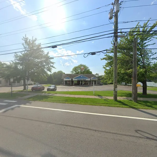
Abraham Lincoln Park
Empire Blvd, Webster, NY 14580
4.6(281)
Closed
Save
spot
spot
Ratings & Description
Info
Outdoor
Adventure
Relaxation
Family friendly
Pet friendly
attractions: Sunscape Farms, Southpoint Marina & Pool Club - Rochester NY, restaurants: Capone's Bar & Italian Eatery, The Peppered Pig, Royal Dynasty, Billy's Homestead, Charlie Riedel's Restaurant, Joe's Brooklyn Pizza Webster, Capitano, Tim Hortons, Taco Bell, Chipotle Mexican Grill, local businesses: Commercial Service Center, Sunrise Plaza, Rosy Glow Maternity LLC, SoJo Boutique, EVIE Boutique, Home Outlet
Phone
(585) 753-7275
Website
monroecounty.gov
Open hoursSee all hours
Mon7 AM - 10:30 PMClosed
Plan your stay

Pet-friendly Hotels in Town of Penfield
Find a cozy hotel nearby and make it a full experience.

Affordable Hotels in Town of Penfield
Find a cozy hotel nearby and make it a full experience.

The Coolest Hotels You Haven't Heard Of (Yet)
Find a cozy hotel nearby and make it a full experience.

Trending Stays Worth the Hype in Town of Penfield
Find a cozy hotel nearby and make it a full experience.
Reviews
Live events

Pittsford Trivia Night at The Burger Bar by Wegmans — FLX Trivia (Free to P
Tue, Feb 24 • 6:00 PM
3195 Monroe Avenue Rochester, NY 14618
View details

Electric Feels - Indie Rock + Electronic Dance Party
Fri, Feb 27 • 9:00 PM
336 East Avenue Rochester, NY 14604
View details

Hot In Herre: 2000s Dance Party - Rochester, NY
Fri, Feb 27 • 8:00 PM
543 Atlantic ave Rochester, NY 14609
View details
Nearby attractions of Abraham Lincoln Park
Sunscape Farms
Southpoint Marina & Pool Club - Rochester NY

Sunscape Farms
4.9
(104)
Open 24 hours
Click for details

Southpoint Marina & Pool Club - Rochester NY
4.7
(25)
Closed
Click for details
Nearby restaurants of Abraham Lincoln Park
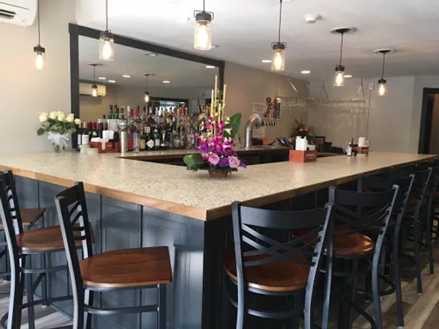
Capone's Bar & Italian Eatery
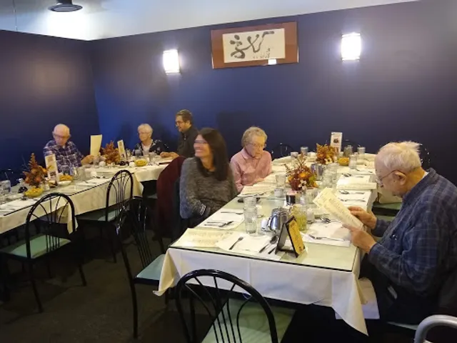
The Peppered Pig
Royal Dynasty
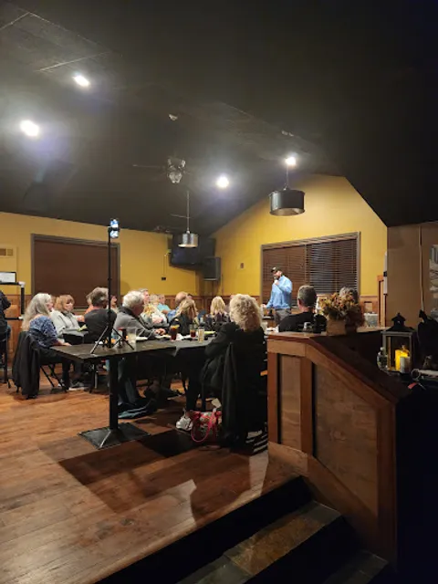
Billy's Homestead
Charlie Riedel's Restaurant
Joe's Brooklyn Pizza Webster
Capitano
Tim Hortons
Taco Bell
Chipotle Mexican Grill
Capone's Bar & Italian Eatery
4.3
(95)
$$
Click for details
The Peppered Pig
4.8
(252)
$$
Open until 12:00 AM
Click for details
Royal Dynasty
4.4
(315)
$
Open until 12:00 AM
Click for details

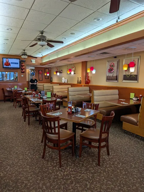
Billy's Homestead
4.6
(321)
$
Closed
Click for details
Nearby local services of Abraham Lincoln Park
Commercial Service Center
Sunrise Plaza
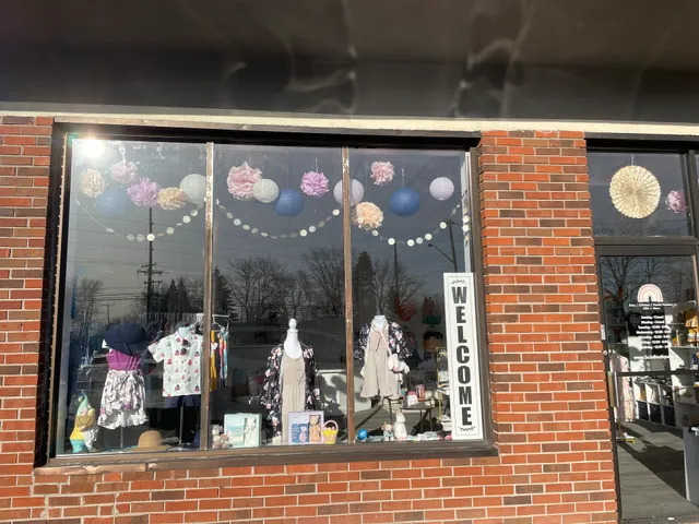
Rosy Glow Maternity LLC
SoJo Boutique
EVIE Boutique
Home Outlet
Commercial Service Center
4.2
(50)
Click for details
Sunrise Plaza
4.3
(322)
Click for details
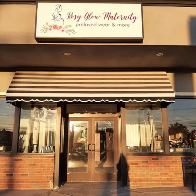
Rosy Glow Maternity LLC
4.9
(43)
Click for details
SoJo Boutique
5.0
(13)
Click for details