Flodden Wall things to do, attractions, restaurants, events info and trip planning
Basic Info
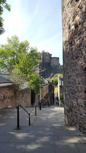
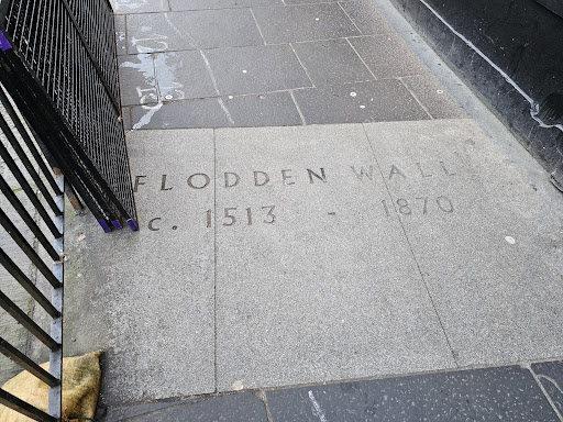
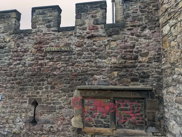
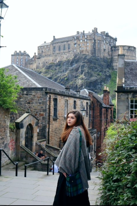
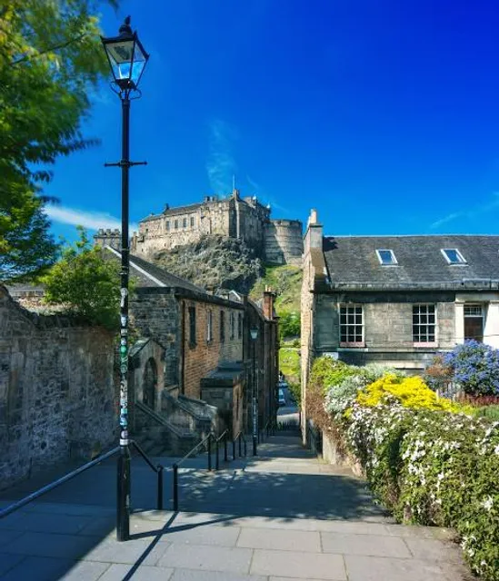
Flodden Wall
1 Vennel, Edinburgh EH1 2HU, United Kingdom
4.6(99)
Open until 12:00 AM
Save
spot
spot
Ratings & Description
Info
There have been several town walls around Edinburgh, Scotland, since the 12th century. Some form of wall probably existed from the foundation of the royal burgh in around 1125, though the first building is recorded in the mid-15th century, when the King's Wall was constructed.
Cultural
Scenic
attractions: The Vennel Viewpoint Edinburgh Castle, Edinburgh Castle, Camera Obscura & World of Illusions, National Museum of Scotland, Armchair Books, Thomas Riddell's Grave, Greyfriars Kirkyard Cemetery Edinburgh, Greyfriars Bobby's grave, City Of The Dead Tours, Princes Street Gardens, restaurants: Mary's Milk Bar, Fiddler's Arms, Cold Town House, Beehive Inn, Maison de Moggy, Zaza's Coffee House, Castlegate Cafe, The Last Drop, Mamma's American Pizza, The White Hart Inn, local businesses: Grassmarket, Bizarre Ink Tattoos Edinburgh, Bains Retro Sweets, Semper Tattoo, TORN vintage, Edinburgh, Armstrongs Vintage, Edinburgh Beauty Quarter, Godiva, Tartan Weaving Mill and Exhibition, Museum Context: Retailer of Harry Potter Merchandise
Open hoursSee all hours
FriOpen 24 hoursOpen
Plan your stay

Pet-friendly Hotels in City of Edinburgh
Find a cozy hotel nearby and make it a full experience.

Affordable Hotels in City of Edinburgh
Find a cozy hotel nearby and make it a full experience.

The Coolest Hotels You Haven't Heard Of (Yet)
Find a cozy hotel nearby and make it a full experience.

Trending Stays Worth the Hype in City of Edinburgh
Find a cozy hotel nearby and make it a full experience.
Reviews
Live events
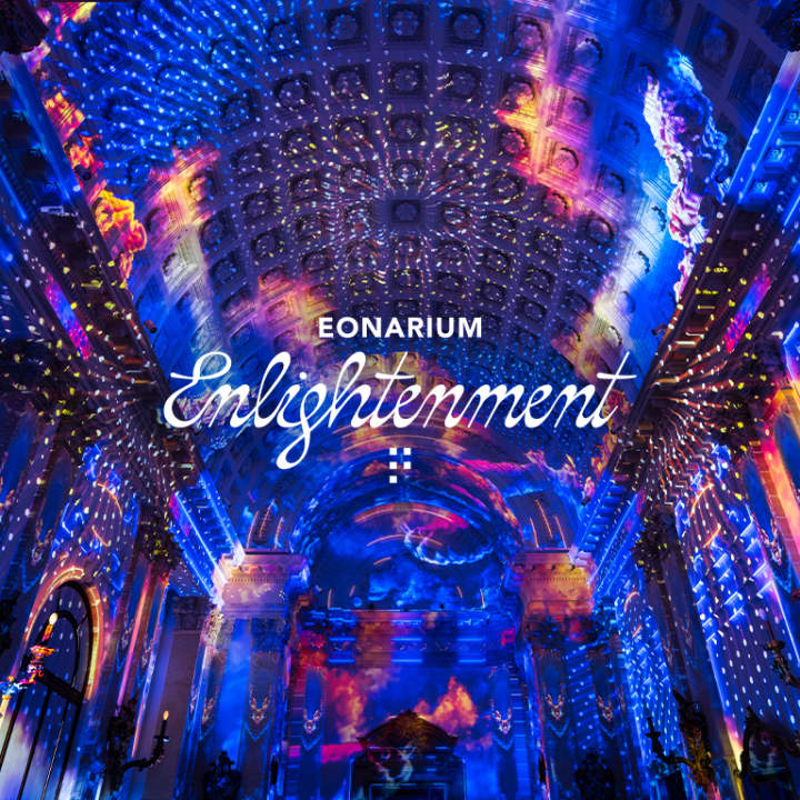
Enlightenment: An Immersive Light Show in Edinburgh
Fri, Feb 13 • 5:30 PM
McEwan Hall, Teviot Pl, Edinburgh, EH8 9AG
View details

The Jazz Room: A Journey to the Heart of New Orleans
Sat, Feb 14 • 6:30 PM
2 Roxburgh Place, Edinburgh, EH8 9SU
View details
The Dark Side of Edinburgh
Wed, Feb 18 • 8:00 PM
Edinburgh, EH1 2JU, United Kingdom
View details
Nearby attractions of Flodden Wall
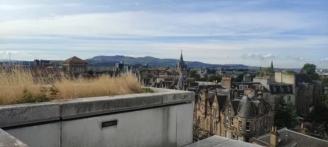
The Vennel Viewpoint Edinburgh Castle
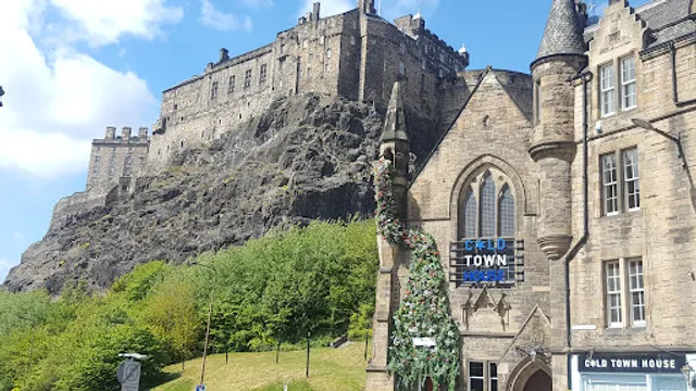
Edinburgh Castle
Camera Obscura & World of Illusions
National Museum of Scotland
Armchair Books
Thomas Riddell's Grave
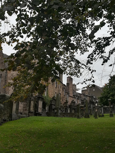
Greyfriars Kirkyard Cemetery Edinburgh
Greyfriars Bobby's grave
City Of The Dead Tours
Princes Street Gardens
The Vennel Viewpoint Edinburgh Castle
4.7
(781)
Open until 12:00 AM
Click for details
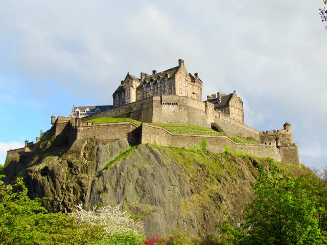
Edinburgh Castle
4.6
(34.1K)
Closed
Click for details
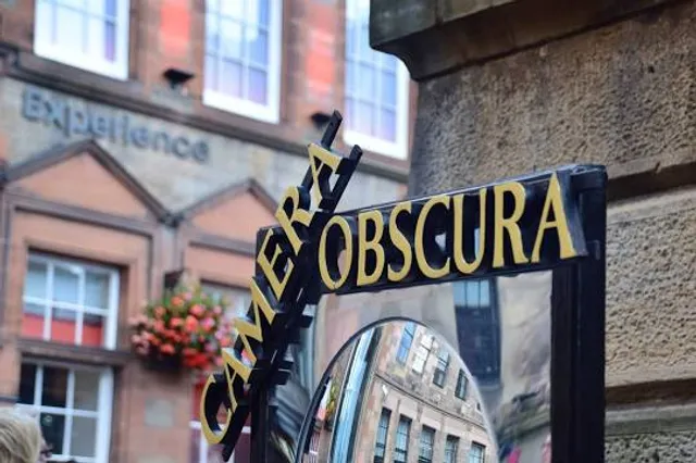
Camera Obscura & World of Illusions
4.6
(6K)
Closed
Click for details
National Museum of Scotland
4.8
(19.7K)
Closed
Click for details
Nearby restaurants of Flodden Wall
Mary's Milk Bar
Fiddler's Arms
Cold Town House
Beehive Inn
Maison de Moggy
Zaza's Coffee House
Castlegate Cafe
The Last Drop
Mamma's American Pizza
The White Hart Inn

Mary's Milk Bar
4.7
(1.2K)
$
Open until 12:00 AM
Click for details

Fiddler's Arms
4.3
(1.2K)
Open until 1:00 AM
Click for details
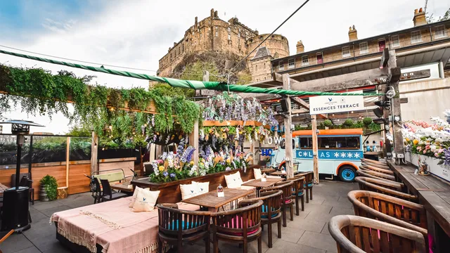
Cold Town House
4.5
(1.5K)
Open until 1:00 AM
Click for details

Beehive Inn
4.2
(1.5K)
Open until 1:00 AM
Click for details
Nearby local services of Flodden Wall
Grassmarket
Bizarre Ink Tattoos Edinburgh
Bains Retro Sweets
Semper Tattoo
TORN vintage, Edinburgh
Armstrongs Vintage
Edinburgh Beauty Quarter
Godiva
Tartan Weaving Mill and Exhibition
Museum Context: Retailer of Harry Potter Merchandise
Grassmarket
4.7
(355)
Click for details

Bizarre Ink Tattoos Edinburgh
4.9
(214)
Click for details
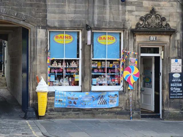
Bains Retro Sweets
4.6
(109)
Click for details

Semper Tattoo
4.9
(94)
Click for details