Railroad Tunnel things to do, attractions, restaurants, events info and trip planning
Basic Info
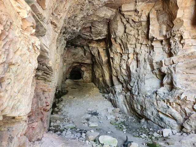
Railroad Tunnel
Payson, AZ 85541
4.0(23)
Open 24 hours
Save
spot
spot
Ratings & Description
Info
Outdoor
Adventure
Cultural
attractions: Rim Country Regional Chamber of Commerce, Payson High School Auditorium, restaurants: Beeline Cafe Payson Az, The Shroom Room, Macky's Grill, Rim Country BBQ and Wood-Fired Pizza, Gila Hogs BBQ, PAYSON AZ., Chili's Grill & Bar, Mike's Fish and Chips, Delicious! Cafe, Dutch Bros Coffee, local businesses: Payson Electric, Sawmill Theatres, Payson Farmers Market, SmartSystems, Inc. - The Computer Technology Experts, The Copper Needle, Bob's Western Wear, Sawmill Crossing, Kutz Etcetera, Banner Payson Medical Center | Payson, AZ | Ponderosa St., Payson Jewelry & Coin
Phone
(602) 252-4794
Website
fs.usda.gov
Plan your stay

Pet-friendly Hotels in Payson
Find a cozy hotel nearby and make it a full experience.

Affordable Hotels in Payson
Find a cozy hotel nearby and make it a full experience.

The Coolest Hotels You Haven't Heard Of (Yet)
Find a cozy hotel nearby and make it a full experience.

Trending Stays Worth the Hype in Payson
Find a cozy hotel nearby and make it a full experience.
Reviews
Live events

Sip & Paint Your Pet -Beginner Acrylic
Thu, Feb 12 • 5:00 PM
Noley's Art Gallery & Bookstore, 103 E. State Highway 260,Payson, Arizona, United States
View details

The Funny Together Tour - Clean Comedy Show - Payson, AZ
Fri, Feb 13 • 5:00 PM
1800 North Beeline Highway Payson, AZ 85541
View details

Ponderosa Relief Society Galentine Activity - All Women Invited
Fri, Feb 13 • 5:00 PM
913 S Ponderosa St, Payson, AZ 85541
View details
Nearby attractions of Railroad Tunnel
Rim Country Regional Chamber of Commerce
Payson High School Auditorium
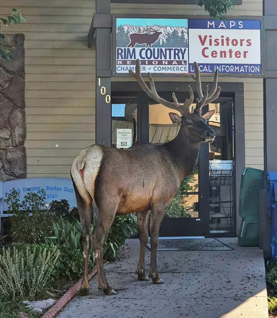
Rim Country Regional Chamber of Commerce
5.0
(23)
Closed
Click for details
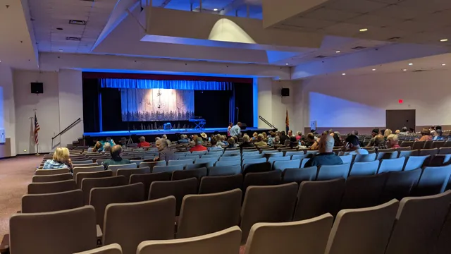
Payson High School Auditorium
4.8
(36)
Open 24 hours
Click for details
Nearby restaurants of Railroad Tunnel
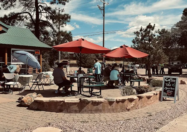
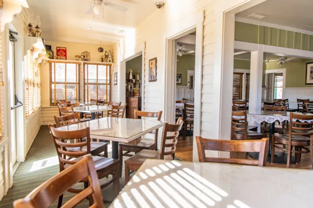
Beeline Cafe Payson Az
The Shroom Room
Macky's Grill
Rim Country BBQ and Wood-Fired Pizza
Gila Hogs BBQ
PAYSON AZ.
Chili's Grill & Bar
Mike's Fish and Chips
Delicious! Cafe
Dutch Bros Coffee
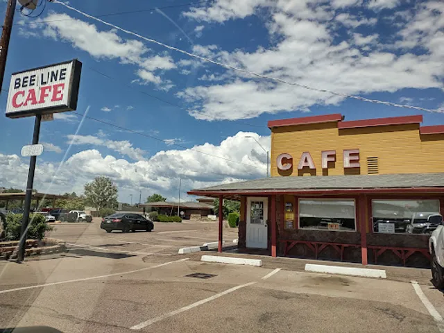
Beeline Cafe Payson Az
4.5
(1.3K)
$
Closed
Click for details
The Shroom Room
4.8
(132)
$
Closed
Click for details
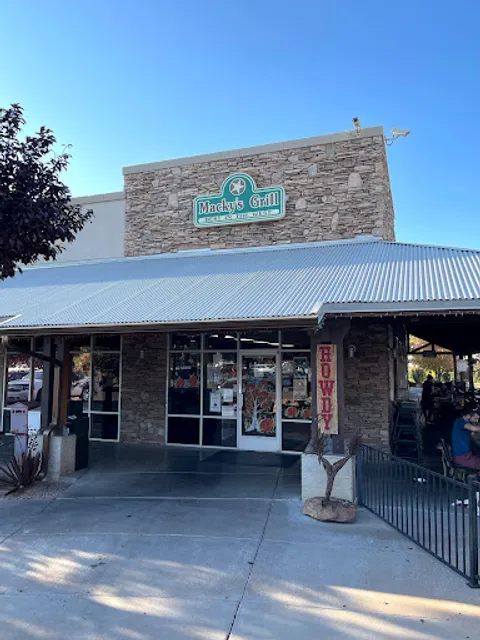
Macky's Grill
4.6
(1.2K)
$
Closed
Click for details
Rim Country BBQ and Wood-Fired Pizza
4.7
(575)
$
Closed
Click for details
Nearby local services of Railroad Tunnel
Payson Electric
Sawmill Theatres
Payson Farmers Market
SmartSystems, Inc. - The Computer Technology Experts
The Copper Needle
Bob's Western Wear
Sawmill Crossing
Kutz Etcetera
Banner Payson Medical Center | Payson, AZ | Ponderosa St.
Payson Jewelry & Coin

Payson Electric
4.9
(36)
Click for details

Sawmill Theatres
4.5
(367)
Click for details
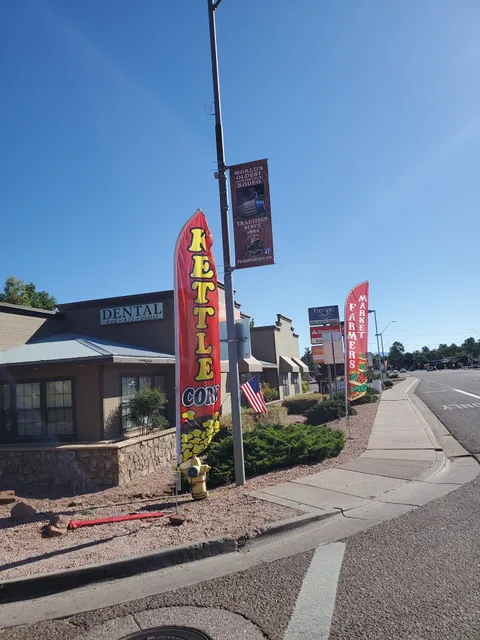
Payson Farmers Market
4.7
(93)
Click for details

SmartSystems, Inc. - The Computer Technology Experts
4.9
(44)
Click for details


