Thunder Mountain Trailhead things to do, attractions, restaurants, events info and trip planning

Basic Info
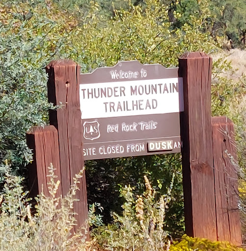
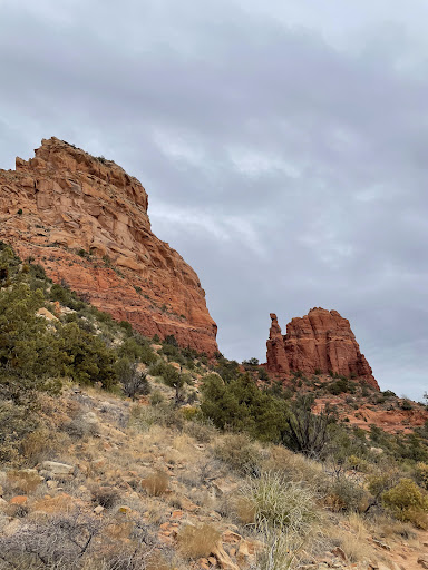
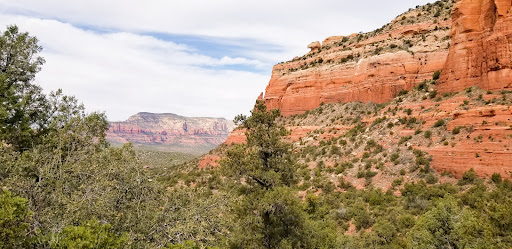
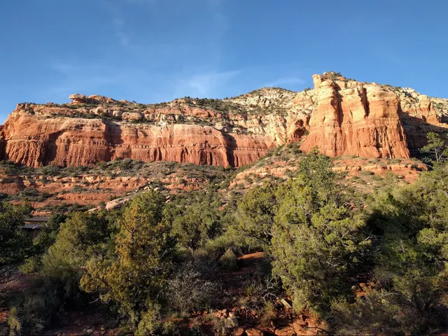
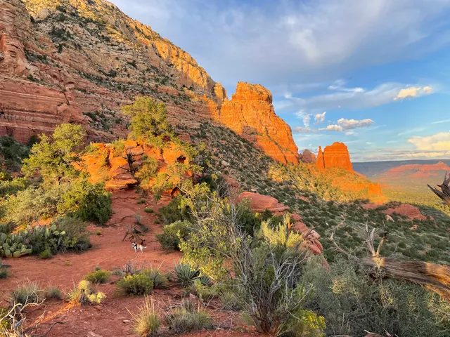
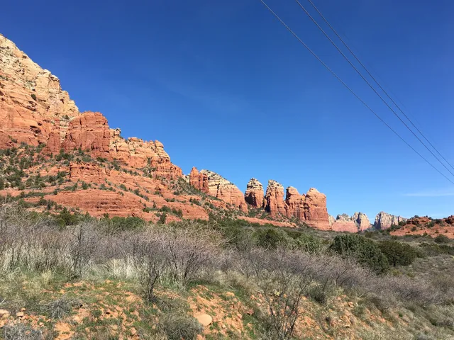
Thunder Mountain Trailhead
Thunder Mountain Rd, Sedona, AZ 86336
4.8(181)
Open 24 hours
Save
spot
spot
Ratings & Description
Info
Outdoor
Adventure
Scenic
Pet friendly
Family friendly
attractions: Amitabha Stupa and Peace Park, Little Sugarloaf, Chimney Rock, Andante Trailhead, restaurants: Casa Sedona Restaurant, Sundowner, local businesses: SpiritQuest Sedona Retreats, Kachina House, A Spa For You
Website
fs.usda.gov
Plan your stay

Pet-friendly Hotels in Sedona
Find a cozy hotel nearby and make it a full experience.

Affordable Hotels in Sedona
Find a cozy hotel nearby and make it a full experience.

The Coolest Hotels You Haven't Heard Of (Yet)
Find a cozy hotel nearby and make it a full experience.

Trending Stays Worth the Hype in Sedona
Find a cozy hotel nearby and make it a full experience.
Reviews
Live events

Sedona Soul Harmonics Sound Healing
Fri, Feb 13 • 6:00 PM
30 Creek Rock Rd Sedona, AZ 86351
View details

The Joy of Painting with DJones
Wed, Feb 11 • 12:00 PM
15 Art Barn Rd, Sedona, AZ, United States, Arizona 86336
View details

Human Design & Gene Keys: A 4-Week Hologenetic Journey
Wed, Feb 11 • 2:00 PM
1730 West State Route 89A Sedona, AZ 86336
View details
Nearby attractions of Thunder Mountain Trailhead
Amitabha Stupa and Peace Park
Little Sugarloaf
Chimney Rock
Andante Trailhead

Amitabha Stupa and Peace Park
4.8
(1.4K)
Open 24 hours
Click for details
Little Sugarloaf
4.9
(21)
Open 24 hours
Click for details
Chimney Rock
4.9
(67)
Open 24 hours
Click for details
Andante Trailhead
4.6
(36)
Open 24 hours
Click for details
Nearby restaurants of Thunder Mountain Trailhead
Casa Sedona Restaurant
Sundowner
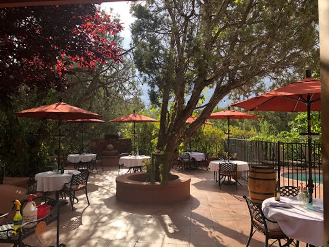
Casa Sedona Restaurant
4.5
(165)
$$
Closed
Click for details

Sundowner
4.5
(315)
$
Closed
Click for details
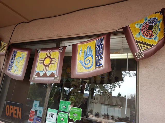
Nearby local services of Thunder Mountain Trailhead
SpiritQuest Sedona Retreats
Kachina House
A Spa For You

SpiritQuest Sedona Retreats
5.0
(182)
Click for details
Kachina House
4.8
(115)
Click for details
A Spa For You
4.9
(73)
Click for details