Inwangsan things to do, attractions, restaurants, events info and trip planning
Basic Info
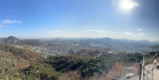
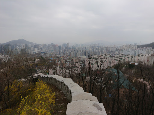
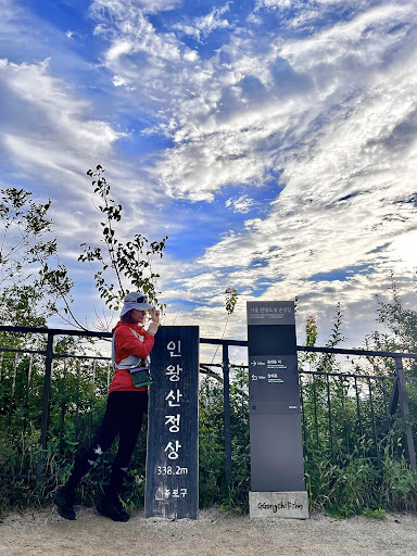
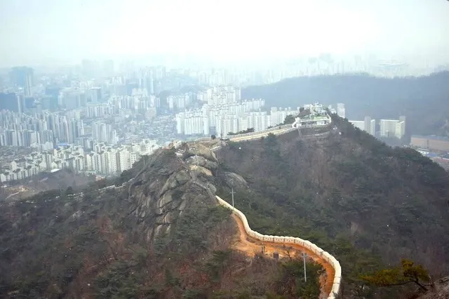
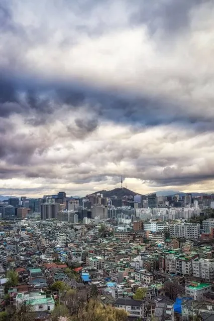
Inwangsan
Seoul, South Korea
4.7(188)
Save
spot
spot
Ratings & Description
Info
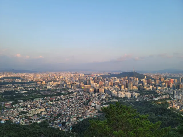
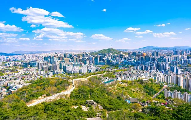
Inwangsan is a mountain with a height of 338 meters, located in Jongno-gu and Hongje-dong, Seodaemun-gu, central areas of Seoul, South Korea. The name literally means "compassionate/benevolent king" in Korean.
Outdoor
Adventure
Scenic
Family friendly
Off the beaten path
attractions: Inwangsan Mountain, Inwangsan Mountain Park, 수성동계곡, 무무대 전망대, Zaha Museum, Mokin Museum, Seonbawi, Hongje-dong Gaemi Village, Park No-soo Museum, 청운문학도서관, restaurants: The Forest Choso Chaekbang, Patic, SCOFF BAKEHOUSE, Dochwi, Hyoja Bakery, Jihwaja Seoul, SCOFF BAKEHOUSE (Buam-dong), Bap+, Hollys Coffee, Lazy Burger Club, local businesses: Park No-soo Museum, Hill of Yun Dong-Ju the poet, Gallery ryugaheon
Plan your stay

Pet-friendly Hotels in Seoul
Find a cozy hotel nearby and make it a full experience.

Affordable Hotels in Seoul
Find a cozy hotel nearby and make it a full experience.

The Coolest Hotels You Haven't Heard Of (Yet)
Find a cozy hotel nearby and make it a full experience.

Trending Stays Worth the Hype in Seoul
Find a cozy hotel nearby and make it a full experience.
Reviews
Live events
Seoul Pub Crawl
Sun, Feb 15 • 8:00 PM
Seoul, Mapo-gu, 04049, South Korea
View details
International Language Exchange In Hongdae
Wed, Feb 18 • 7:00 PM
Seoul, Seoul, 04049, South Korea
View details

위시캣 테마파크 서울
Sun, Feb 15 • 10:00 AM
서울 종로구 인사동길 49 B1, 03145
View details
Nearby attractions of Inwangsan
Inwangsan Mountain
Inwangsan Mountain Park
수성동계곡
무무대 전망대
Zaha Museum
Mokin Museum
Seonbawi
Hongje-dong Gaemi Village
Park No-soo Museum
청운문학도서관
Inwangsan Mountain
4.7
(398)
Open until 12:00 AM
Click for details
Inwangsan Mountain Park
4.5
(171)
Open until 12:00 AM
Click for details
수성동계곡
4.5
(303)
Open 24 hours
Click for details
무무대 전망대
4.6
(56)
Open until 12:00 AM
Click for details
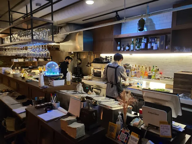
Nearby restaurants of Inwangsan
The Forest Choso Chaekbang
Patic
SCOFF BAKEHOUSE
Dochwi
Hyoja Bakery
Jihwaja Seoul
SCOFF BAKEHOUSE (Buam-dong)
Bap+
Hollys Coffee
Lazy Burger Club
The Forest Choso Chaekbang
4.4
(692)
Closed
Click for details
Patic
4.5
(80)
Closed
Click for details
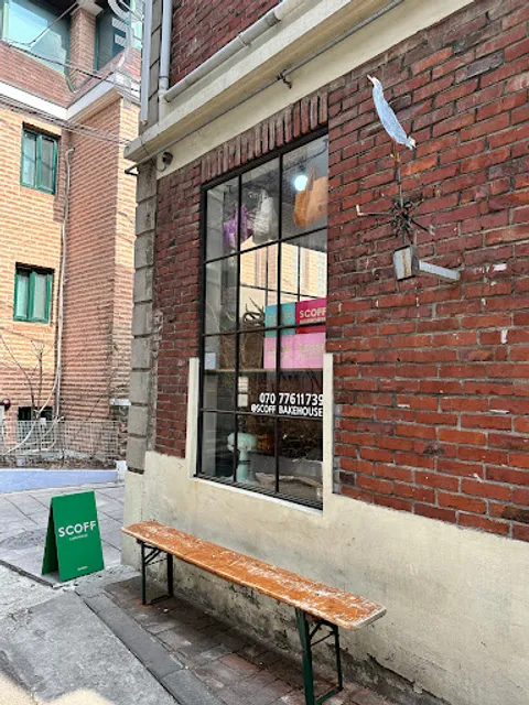
SCOFF BAKEHOUSE
4.3
(285)
Closed
Click for details
Dochwi
4.5
(65)
Closed
Click for details
Nearby local services of Inwangsan
Park No-soo Museum
Hill of Yun Dong-Ju the poet
Gallery ryugaheon
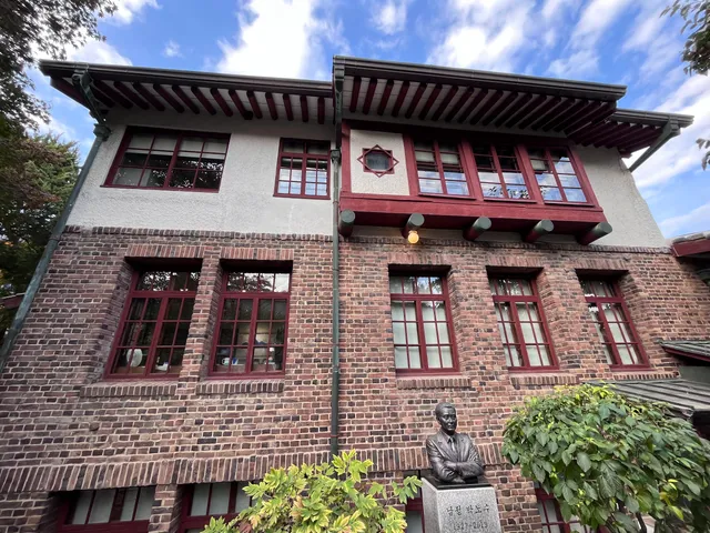
Park No-soo Museum
4.3
(169)
Click for details
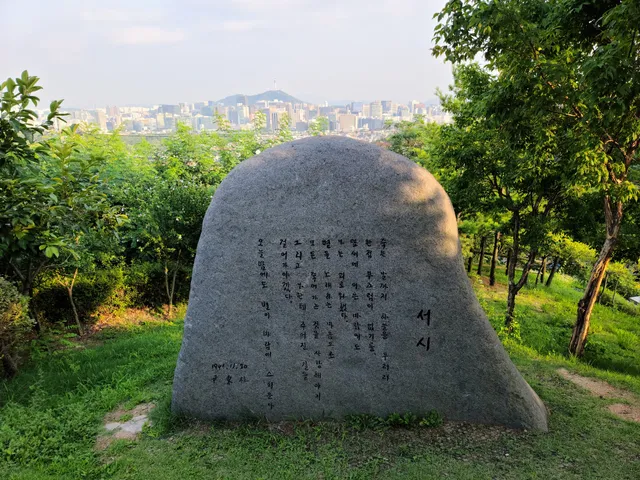
Hill of Yun Dong-Ju the poet
4.5
(318)
Click for details
Gallery ryugaheon
4.4
(84)
Click for details