Lions Valley Park things to do, attractions, restaurants, events info and trip planning

Basic Info
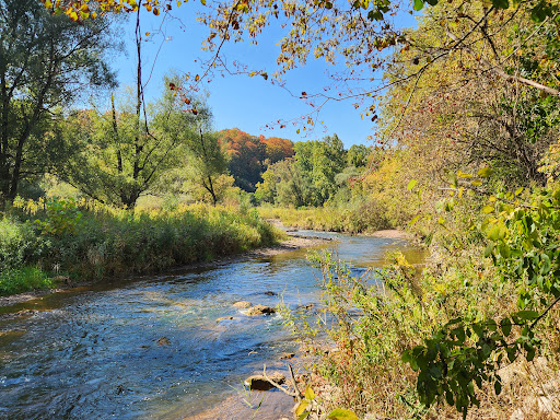
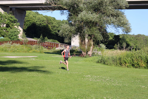
Lions Valley Park
1227 Lions Valley Park Rd, Oakville, ON L6H 6W8, Canada
4.6(971)
Closed
Save
spot
spot
Ratings & Description
Info
Outdoor
Family friendly
Pet friendly
attractions: St. Volodymyr Event Centre - SV Event Centre, Sixteen Mile Sports Complex, restaurants: CheeZaatar Oakville, Cynthia's Chinese Restaurant - Oakville, Tut's Egyptian Street Food, Nonna Lia (at Kung Fu Tea), Kung Fu Tea on Dundas (Oakville), Spoon & Fork Plus, Hero Tea Oakville, Dairy Queen (Treat), Panago Pizza, Pho Mama Oakville, local businesses: RioCentre, CBI Health - Oakville Neyagawa, Halton Eye Care, The UPS Store, Oakville Rangers Hockey Club, Dundas Neyagawa Medical Centre and Pharmacy, Pharmasave Dundas Neyagawa Pharmacy
Phone
+1 905-845-6601
Website
oakville.ca
Open hoursSee all hours
Sun6 AM - 10 PMClosed
Plan your stay

Pet-friendly Hotels in Oakville
Find a cozy hotel nearby and make it a full experience.

Affordable Hotels in Oakville
Find a cozy hotel nearby and make it a full experience.

The Coolest Hotels You Haven't Heard Of (Yet)
Find a cozy hotel nearby and make it a full experience.

Trending Stays Worth the Hype in Oakville
Find a cozy hotel nearby and make it a full experience.
Reviews
Live events

Candlelight: Tribute to British Rock Legends
Sat, Feb 28 • 8:45 PM
1014 King Street West, Hamilton, L8S 1L4
View details

A taste of Jamaica with chef Marvin
Sat, Feb 28 • 7:00 PM
Brampton, Ontario, L7A 2J8, Canada
View details
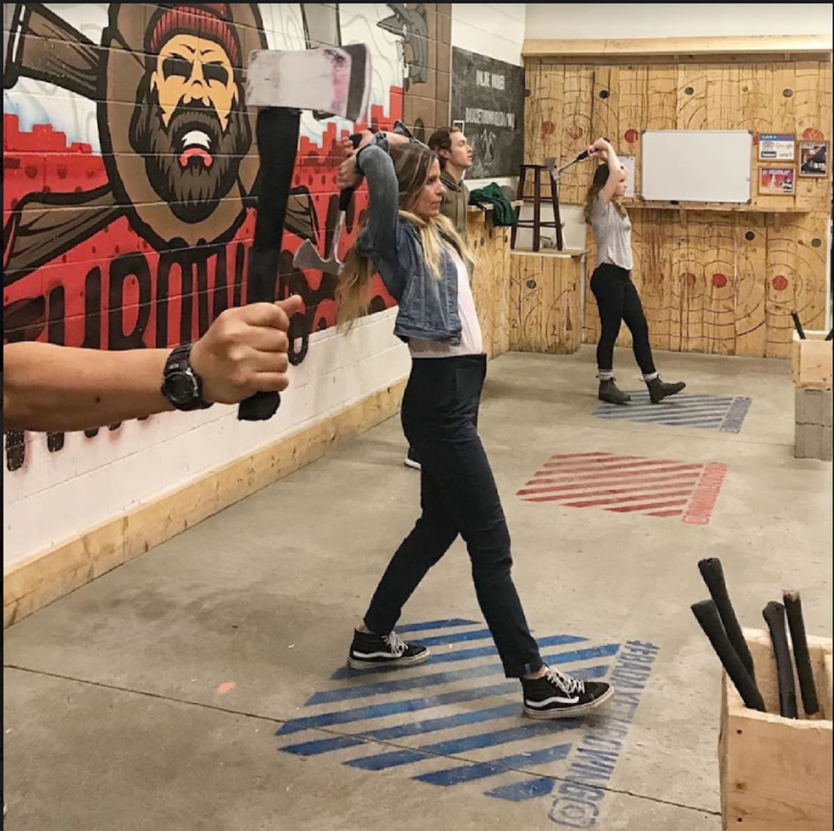
Axe Throwing Experience in Mississauga
Sun, Feb 22 • 1:00 PM
Mississauga, Ontario, L4W 1J8, Canada
View details
Nearby attractions of Lions Valley Park
St. Volodymyr Event Centre - SV Event Centre
Sixteen Mile Sports Complex

St. Volodymyr Event Centre - SV Event Centre
4.6
(351)
Open 24 hours
Click for details

Sixteen Mile Sports Complex
4.6
(615)
Closed
Click for details
Nearby restaurants of Lions Valley Park
CheeZaatar Oakville
Cynthia's Chinese Restaurant - Oakville
Tut's Egyptian Street Food
Nonna Lia (at Kung Fu Tea)
Kung Fu Tea on Dundas (Oakville)
Spoon & Fork Plus
Hero Tea Oakville
Dairy Queen (Treat)
Panago Pizza
Pho Mama Oakville
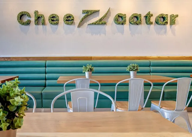
CheeZaatar Oakville
4.7
(621)
$
Closed
Click for details
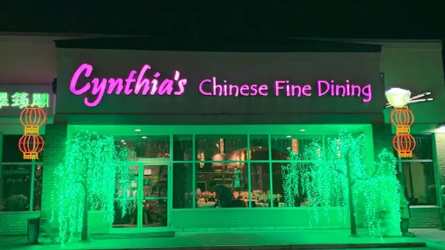
Cynthia's Chinese Restaurant - Oakville
4.1
(497)
$$
Closed
Click for details
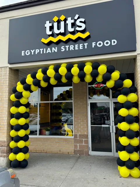
Tut's Egyptian Street Food
4.7
(209)
$
Closed
Click for details

Nonna Lia (at Kung Fu Tea)
4.8
(98)
Closed
Click for details
Nearby local services of Lions Valley Park
RioCentre
CBI Health - Oakville Neyagawa
Halton Eye Care
The UPS Store
Oakville Rangers Hockey Club
Dundas Neyagawa Medical Centre and Pharmacy
Pharmasave Dundas Neyagawa Pharmacy
RioCentre
4.2
(1.0K)
Click for details
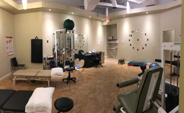
CBI Health - Oakville Neyagawa
4.9
(55)
Click for details

Halton Eye Care
4.9
(108)
Click for details

The UPS Store
4.5
(94)
Click for details