Plains of Abraham things to do, attractions, restaurants, events info and trip planning
Basic Info
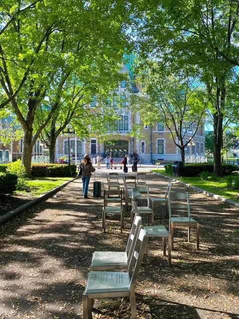
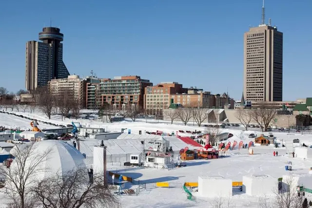
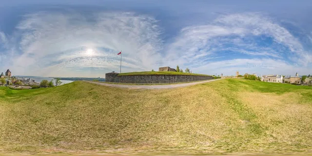
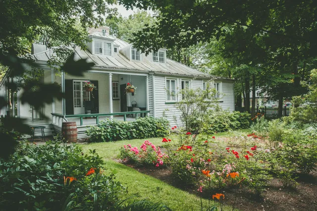
Plains of Abraham
835 Wilfrid-Laurier Ave, Québec City, Quebec G1R 2L3, Canada
4.7(3.5K)
Open until 12:00 AM

tickets
Save
spot
spot
Ratings & Description
Info
The Plains of Abraham is a historic area within the Battlefields Park in Quebec City, Quebec, Canada. It was established on 17 March 1908.
Outdoor
Cultural
Family friendly
attractions: The Battlefields Park, Musée national des beaux-arts du Québec, Horloge solaire, Joan of Arc Garden, General James Wolfe Monument, Opéra de Québec, Cap-Blanc Stairs, French America Park, La Maison Chabad, Observatoire de la Capitale, restaurants: Café La Maison Smith - Plaines d'Abraham, Blaxton Cartier, Metropolitain Eddie, Graffiti, Ciel! Bistro-bar, café Olive, La Piazzetta Cartier, BURGER CARTIER, Papa Sandwich - Cartier, Patisserie Anna Pierrôt Cartier, local businesses: Les Halles Cartier, Saint-Dominique Church, Cinéma Cartier, Maison Henry-Stuart, Mosaïculture Québec, Grande Allée, 203 Rue Saint-Jean, Gaël - Chocolats&Pâtisseries, IGA Deschênes, Rue Saint-Jean
Phone
+1 418-649-6157
Website
plainesdabraham.ca
Open hoursSee all hours
SatOpen 24 hoursOpen
Plan your stay

Pet-friendly Hotels in Quebec
Find a cozy hotel nearby and make it a full experience.

Affordable Hotels in Quebec
Find a cozy hotel nearby and make it a full experience.

The Coolest Hotels You Haven't Heard Of (Yet)
Find a cozy hotel nearby and make it a full experience.

Trending Stays Worth the Hype in Quebec
Find a cozy hotel nearby and make it a full experience.
Reviews
Live events
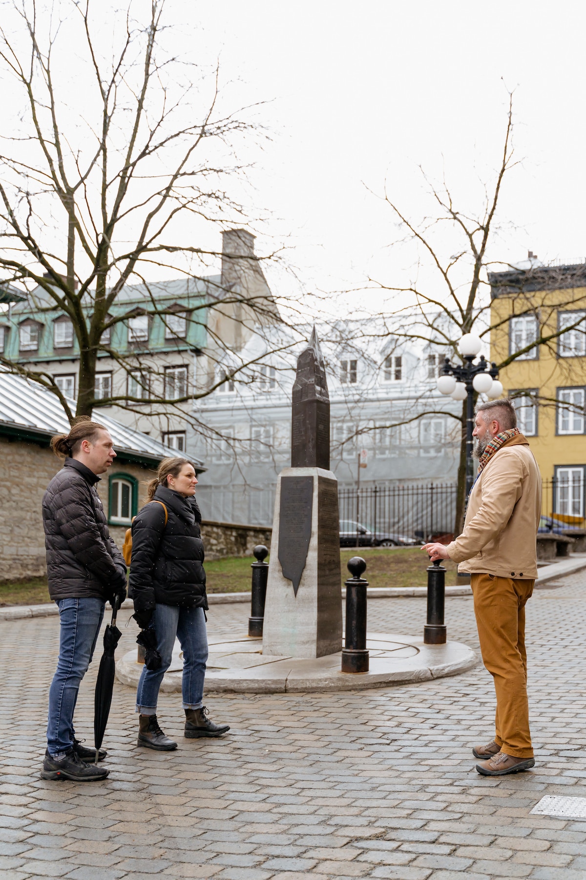
Guided winter tour of Old Quebec
Sun, Feb 22 • 1:00 PM
Québec City, Quebec, G1K 1A7, Canada
View details
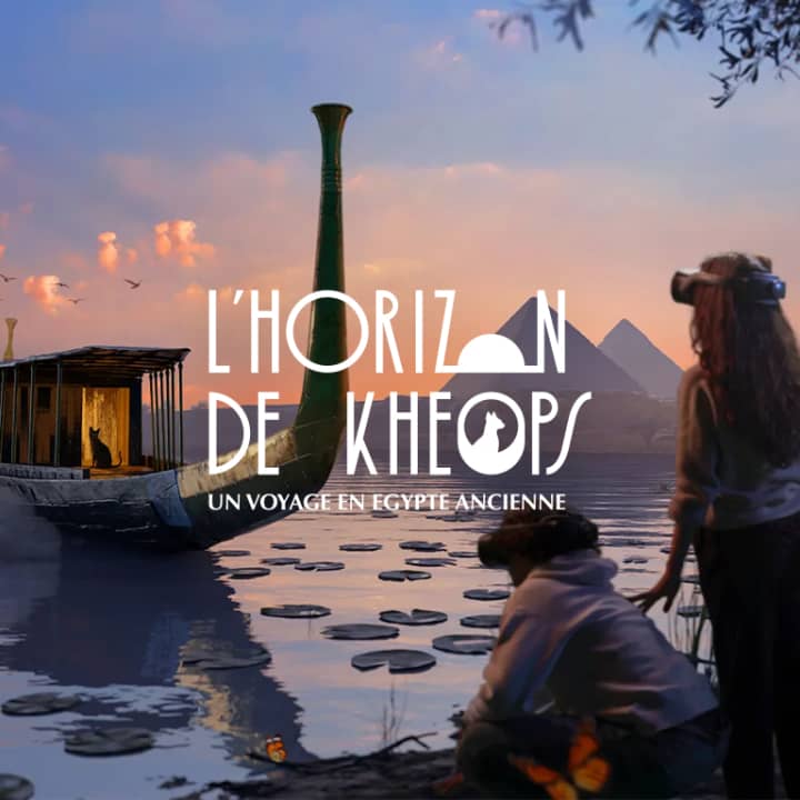
LHorizon de Khéops: Un voyage en Égypte ancienne
Sun, Feb 22 • 10:00 AM
2700 Boul Laurier, Québec, G1V 2L8
View details
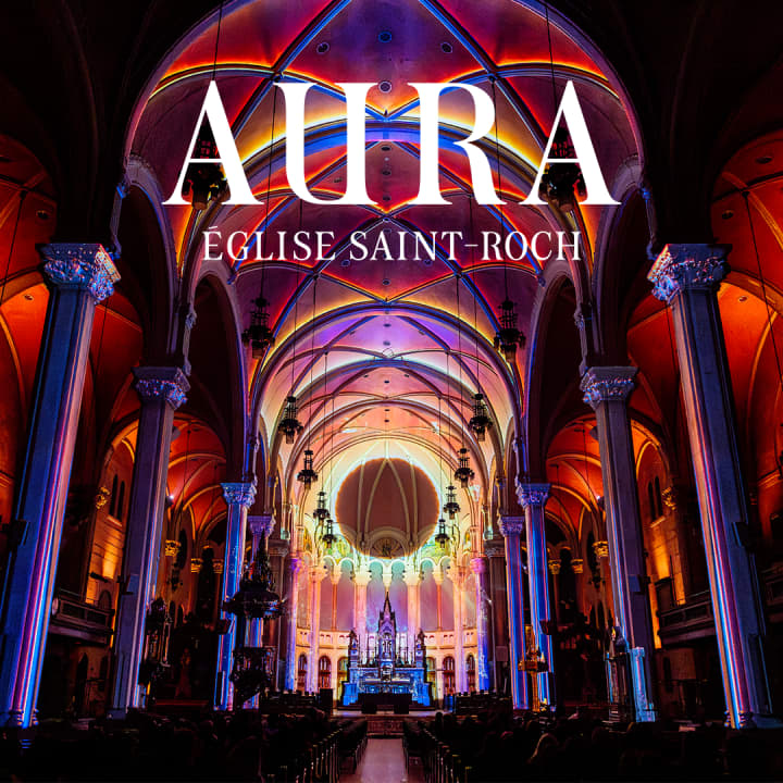
AURA: Une expérience immersive plus grande que nature
Sat, Feb 21 • 6:00 PM
Église Saint-Roch, 555 Rue Saint-François E #1, Québec, G1K 8A4
View details
Nearby attractions of Plains of Abraham
The Battlefields Park
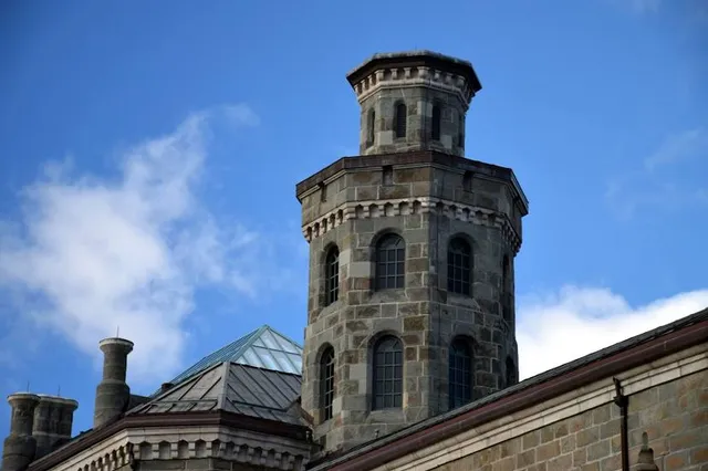
Musée national des beaux-arts du Québec
Horloge solaire
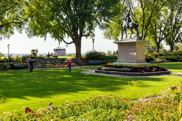
Joan of Arc Garden
General James Wolfe Monument
Opéra de Québec
Cap-Blanc Stairs
French America Park
La Maison Chabad
Observatoire de la Capitale
The Battlefields Park
4.7
(1.9K)
Open until 12:00 AM
Click for details
Musée national des beaux-arts du Québec
4.6
(2.1K)
Closed
Click for details

Horloge solaire
4.6
(8)
Open until 12:00 AM
Click for details
Joan of Arc Garden
4.7
(425)
Open until 12:00 AM
Click for details
Nearby restaurants of Plains of Abraham
Café La Maison Smith - Plaines d'Abraham
Blaxton Cartier
Metropolitain Eddie
Graffiti
Ciel! Bistro-bar
café Olive
La Piazzetta Cartier
BURGER CARTIER
Papa Sandwich - Cartier
Patisserie Anna Pierrôt Cartier
Café La Maison Smith - Plaines d'Abraham
4.7
(77)
Closed
Click for details
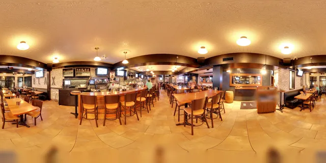
Blaxton Cartier
4.2
(618)
$$
Open until 1:00 AM
Click for details
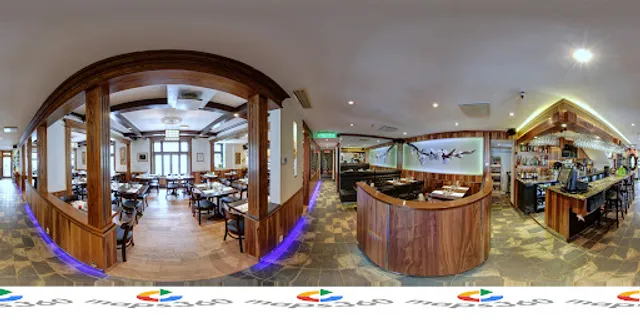
Metropolitain Eddie
4.6
(346)
$$$
Open until 9:00 PM
Click for details
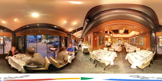
Graffiti
4.5
(447)
$$$
Open until 10:00 PM
Click for details
Nearby local services of Plains of Abraham
Les Halles Cartier
Saint-Dominique Church
Cinéma Cartier
Maison Henry-Stuart
Mosaïculture Québec
Grande Allée
203 Rue Saint-Jean
Gaël - Chocolats&Pâtisseries
IGA Deschênes
Rue Saint-Jean

Les Halles Cartier
4.4
(599)
Click for details
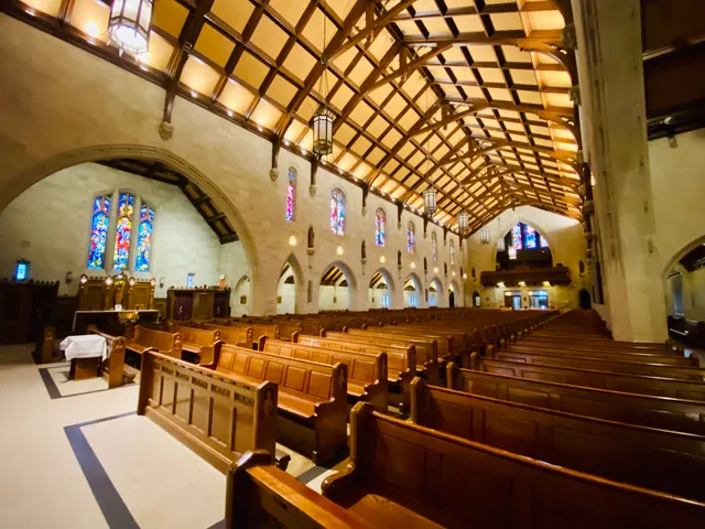
Saint-Dominique Church
4.8
(79)
Click for details

Cinéma Cartier
4.3
(526)
Click for details
Maison Henry-Stuart
4.2
(10)
Click for details