Mission Peak Trailhead - Ohlone College things to do, attractions, restaurants, events info and trip planning
Basic Info
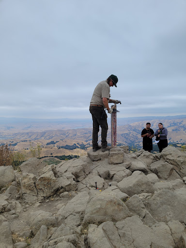
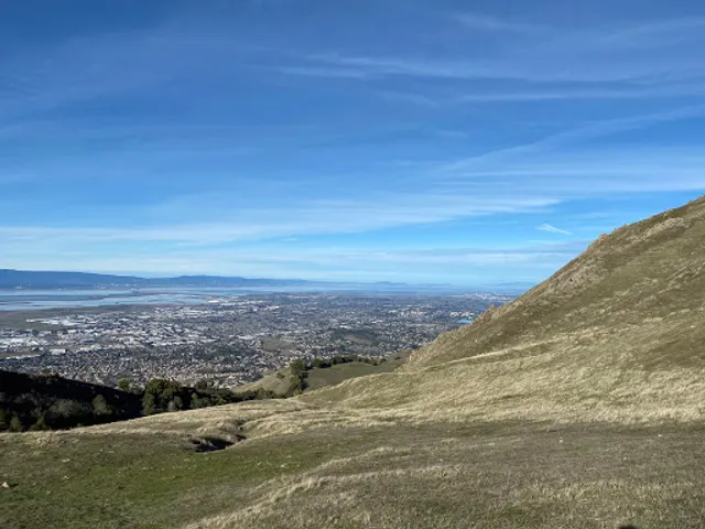
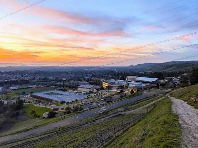
Mission Peak Trailhead - Ohlone College
Fremont, CA 94539
4.7(100)
Closed
Save
spot
spot
Ratings & Description
Info
Outdoor
Adventure
Scenic
Pet friendly
attractions: Gary Soren Smith Center, Washington Township Museum of Local History, Mission San José, Olive Hyde Art Gallery, restaurants: College Store, EE Home Cooking, UMI TEA & RAMEN, Ohlone Deli, Forest & Flour, Starbucks Coffee Company, Joyful Dim Sum Bistro, Mission Tasty Hut, Subway, The MexiCuban Food Truck, local businesses: Ohlone College, Ohlone College Flea Market, Plaza Los Olivos, Joseph Sabeh, California Craft Beer, Dominican Sisters of Mission San José, Salon Valenti, Dragon Rhythm Shaolin Kung Fu, Ichen Art Academy, Olive Hyde Community Center
Open hoursSee all hours
Tue6 AM - 10 PMClosed
Plan your stay

Pet-friendly Hotels in Fremont
Find a cozy hotel nearby and make it a full experience.

Affordable Hotels in Fremont
Find a cozy hotel nearby and make it a full experience.

The Coolest Hotels You Haven't Heard Of (Yet)
Find a cozy hotel nearby and make it a full experience.

Trending Stays Worth the Hype in Fremont
Find a cozy hotel nearby and make it a full experience.
Reviews
Live events
Explore Silicon Valleys landmarks
Sat, Feb 28 • 10:00 AM
Palo Alto, California, 94306
View details

Newborn Care (In-person)
Wed, Feb 25 • 3:30 PM
4100 Bohannon Drive (East entrance facing 101 freeway) Menlo Park, CA 94025
View details

Speed Dating @ Del Cielo Brewing
Wed, Feb 25 • 6:30 PM
4771 Arroyo Vista #Suite B Livermore, CA 94551
View details
Nearby attractions of Mission Peak Trailhead - Ohlone College
Gary Soren Smith Center
Washington Township Museum of Local History
Mission San José
Olive Hyde Art Gallery

Gary Soren Smith Center
4.5
(130)
Open 24 hours
Click for details
Washington Township Museum of Local History
4.7
(28)
Open until 12:00 AM
Click for details
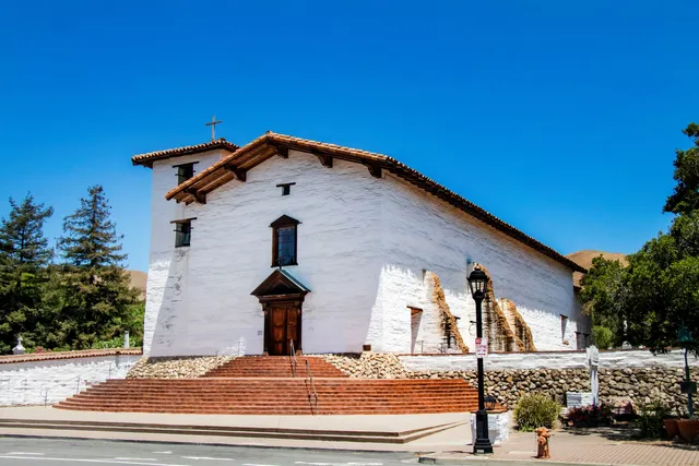
Mission San José
4.5
(303)
Open until 12:00 AM
Click for details

Olive Hyde Art Gallery
4.7
(16)
Open until 12:00 AM
Click for details
Nearby restaurants of Mission Peak Trailhead - Ohlone College
College Store
EE Home Cooking
UMI TEA & RAMEN
Ohlone Deli
Forest & Flour
Starbucks Coffee Company
Joyful Dim Sum Bistro
Mission Tasty Hut
Subway
The MexiCuban Food Truck

College Store
4.1
(35)
Closed
Click for details
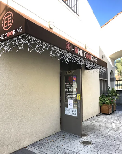
EE Home Cooking
4.7
(83)
$
Open until 12:00 AM
Click for details
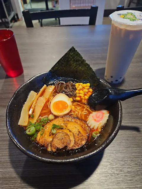
UMI TEA & RAMEN
4.2
(56)
$
Closed
Click for details
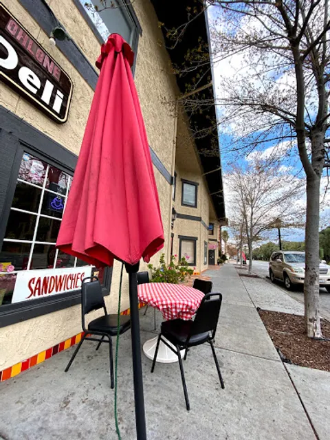
Ohlone Deli
4.1
(81)
$
Closed
Click for details
Nearby local services of Mission Peak Trailhead - Ohlone College
Ohlone College
Ohlone College Flea Market
Plaza Los Olivos
Joseph Sabeh
California Craft Beer
Dominican Sisters of Mission San José
Salon Valenti
Dragon Rhythm Shaolin Kung Fu
Ichen Art Academy
Olive Hyde Community Center
Ohlone College
4.1
(118)
Click for details
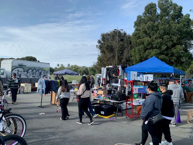
Ohlone College Flea Market
5.0
(30)
Click for details
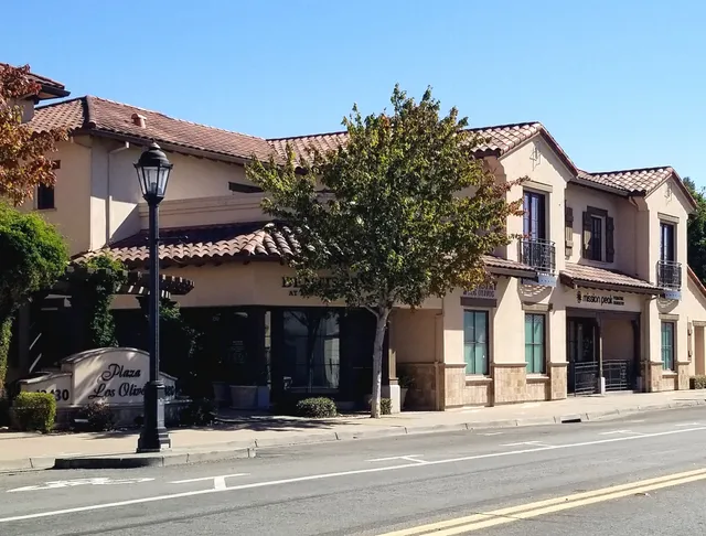
Plaza Los Olivos
4.5
(455)
Click for details

Joseph Sabeh
5.0
(63)
Click for details