Cedar Creek Trails things to do, attractions, restaurants, events info and trip planning

Basic Info
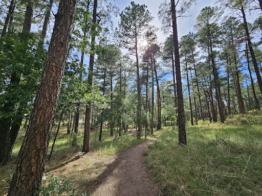
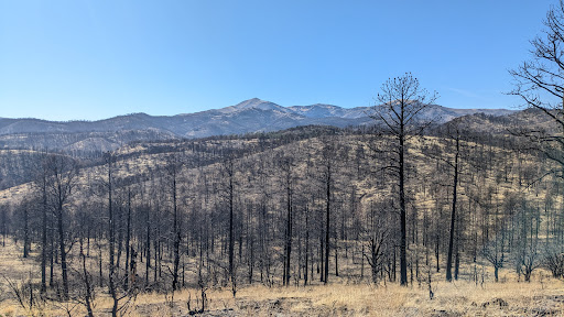
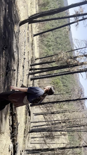
Cedar Creek Trails
Ruidoso, NM 88345
4.8(170)
Open 24 hours
Save
spot
spot
Ratings & Description
Info
attractions: USDA Forest Service - Smokey Bear Ranger District, Eastern New Mexico University - Ruidoso, restaurants: El Paraiso Mexican Restaurant, Cedar Creek Mrkt. Sandwiches soup homemade cookies gifts, Texas Club, El Camino Nuevo, ZENSHI Handcrafted Sushi, local businesses: Yesterday Antiques, Sierra Cinema - Allen Theatres, Albertsons Market, Personalities, Ruidoso True Value, Berg Autosound, Pinnacle Trails Bike Shop, Simon's Jewelers
Website
ruidosoparksandrec.com
Plan your stay

Pet-friendly Hotels in Ruidoso
Find a cozy hotel nearby and make it a full experience.

Affordable Hotels in Ruidoso
Find a cozy hotel nearby and make it a full experience.

The Coolest Hotels You Haven't Heard Of (Yet)
Find a cozy hotel nearby and make it a full experience.

Trending Stays Worth the Hype in Ruidoso
Find a cozy hotel nearby and make it a full experience.
Reviews
Live events

2026 Village of Ruidoso Candidate Meet & Greet
Wed, Feb 11 • 4:00 PM
Ruidoso Convention Center, 111 Sierra Blanca Dr, Ruidoso, NM 88345-5503, United States
View details

Paint and Pints at Downshift Brewing Company - Riverside
Sun, Feb 15 • 3:00 AM
Downshift Brewing Company Riverside, 2704 Sudderth Drive, Ruidoso, United States
View details

James A. Hiles
Sun, Feb 15 • 3:00 PM
1056 Mechem Drive, Ruidoso, NM, United States
View details
Nearby attractions of Cedar Creek Trails
USDA Forest Service - Smokey Bear Ranger District
Eastern New Mexico University - Ruidoso

USDA Forest Service - Smokey Bear Ranger District
4.5
(79)
Open until 12:00 AM
Click for details
Eastern New Mexico University - Ruidoso
4.6
(8)
Open until 12:00 AM
Click for details
Nearby restaurants of Cedar Creek Trails
El Paraiso Mexican Restaurant
Cedar Creek Mrkt. Sandwiches soup homemade cookies gifts
Texas Club
El Camino Nuevo
ZENSHI Handcrafted Sushi
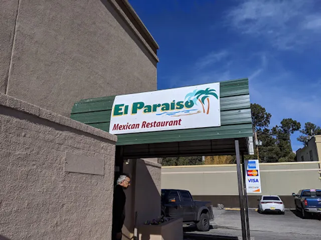
El Paraiso Mexican Restaurant
4.4
(272)
$
Click for details
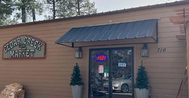
Cedar Creek Mrkt. Sandwiches soup homemade cookies gifts
4.9
(122)
$
Click for details
Texas Club
4.1
(410)
$$
Closed
Click for details
El Camino Nuevo
3.8
(377)
$
Open until 9:00 PM
Click for details
Nearby local services of Cedar Creek Trails
Yesterday Antiques
Sierra Cinema - Allen Theatres
Albertsons Market
Personalities
Ruidoso True Value
Berg Autosound
Pinnacle Trails Bike Shop
Simon's Jewelers

Yesterday Antiques
4.6
(63)
Click for details

Sierra Cinema - Allen Theatres
4.1
(244)
Click for details

Albertsons Market
4.3
(789)
Click for details

Personalities
4.6
(44)
Click for details