Paredon Viewpoint Trail things to do, attractions, restaurants, events info and trip planning

Basic Info
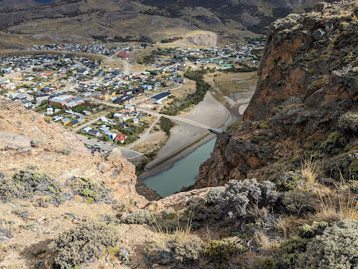
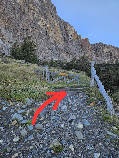
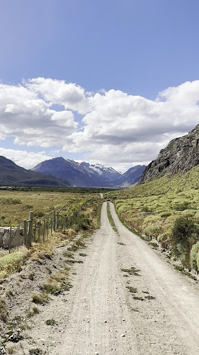
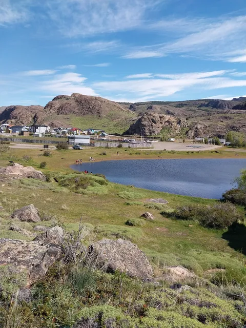
Paredon Viewpoint Trail
M4C9+V6, El Chalten, Santa Cruz, Argentina
4.8(80)
Open 24 hours
Save
spot
spot
Ratings & Description
Info
Outdoor
Adventure
Scenic
Off the beaten path
attractions: Bienvenidos a El Chaltén, El Chaltén, Laguna Torre Trailhead & Parking Area, restaurants: Laborum, Butch, Bar de Carnes, Maffia, Chica Ramen, Mathilda. Resto bar. Casa de té, Nomade Resto Bar, Monte Rojo " Restaurante - Bar ", Meme's Cakes - Pasteleria & Casa de Té, Pangea Restaurant, Diadema Restó Chaltén, local businesses: Adventure Patagonia - Fitz Roy Expeditions, Chalteños, Alfajores Y Dulces Artesanales, El Chalten, SIMPLE, LENGAS, Chalten Travel, Aires del Fitz, El Chaltén Viewpoint (City & Fitz Roy), El Chalten Aparts
Plan your stay

Pet-friendly Hotels in El Chaltén
Find a cozy hotel nearby and make it a full experience.

Affordable Hotels in El Chaltén
Find a cozy hotel nearby and make it a full experience.

The Coolest Hotels You Haven't Heard Of (Yet)
Find a cozy hotel nearby and make it a full experience.

Trending Stays Worth the Hype in El Chaltén
Find a cozy hotel nearby and make it a full experience.
Reviews
Nearby attractions of Paredon Viewpoint Trail
Bienvenidos a El Chaltén
El Chaltén
Laguna Torre Trailhead & Parking Area
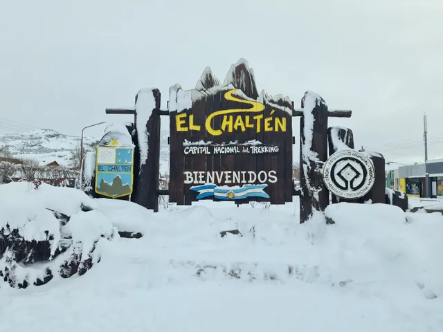
Bienvenidos a El Chaltén
4.7
(52)
Open until 12:00 AM
Click for details

El Chaltén
4.9
(16)
Open 24 hours
Click for details
Laguna Torre Trailhead & Parking Area
4.0
(13)
Open 24 hours
Click for details
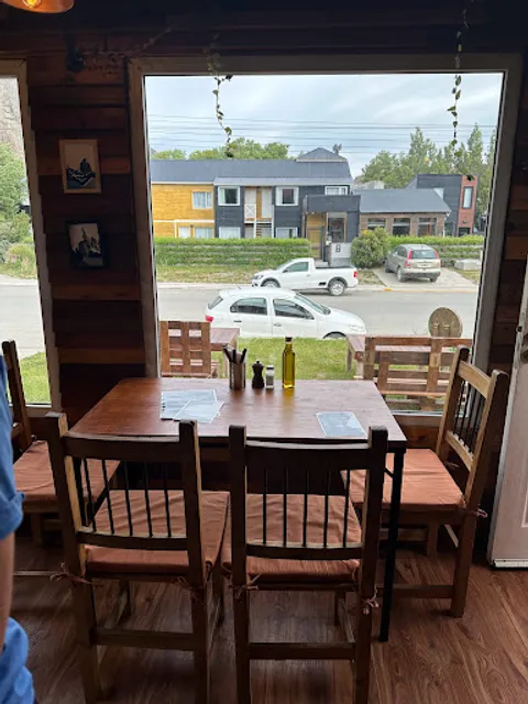
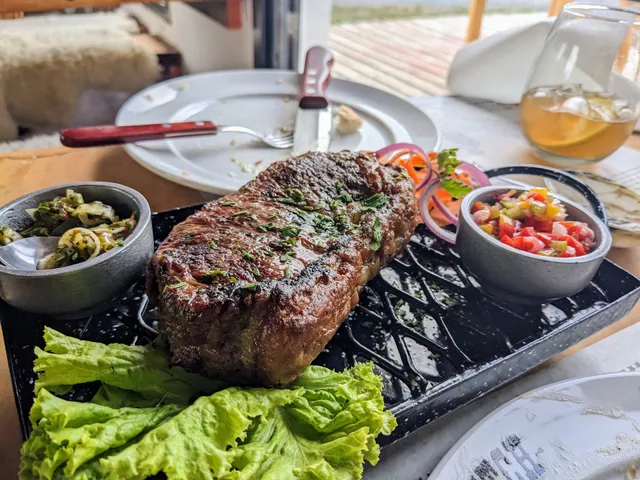
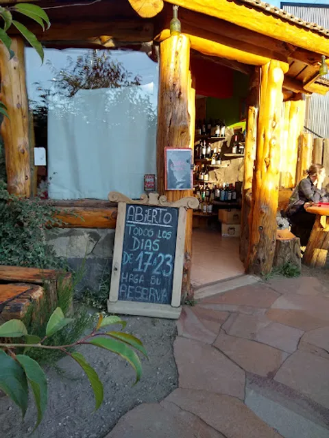
Nearby restaurants of Paredon Viewpoint Trail
Laborum
Butch, Bar de Carnes
Maffia
Chica Ramen
Mathilda. Resto bar. Casa de té
Nomade Resto Bar
Monte Rojo " Restaurante - Bar "
Meme's Cakes - Pasteleria & Casa de Té
Pangea Restaurant
Diadema Restó Chaltén
Laborum
4.9
(370)
Open until 10:30 PM
Click for details
Butch, Bar de Carnes
4.7
(188)
Open until 11:00 PM
Click for details
Maffia
4.5
(719)
Open until 11:00 PM
Click for details

Chica Ramen
4.6
(213)
Open until 10:00 PM
Click for details
Nearby local services of Paredon Viewpoint Trail
Adventure Patagonia - Fitz Roy Expeditions
Chalteños, Alfajores Y Dulces Artesanales
El Chalten
SIMPLE
LENGAS
Chalten Travel
Aires del Fitz
El Chaltén Viewpoint (City & Fitz Roy)
El Chalten Aparts

Adventure Patagonia - Fitz Roy Expeditions
4.7
(244)
Click for details

Chalteños, Alfajores Y Dulces Artesanales
4.8
(230)
Click for details

El Chalten
4.8
(300)
Click for details

SIMPLE
4.5
(91)
Click for details