West Trailhead of Mount Yufu things to do, attractions, restaurants, events info and trip planning
Basic Info
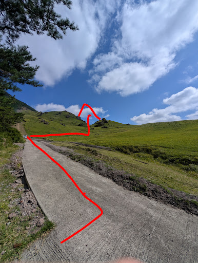
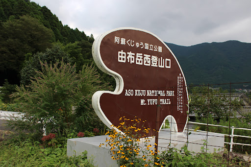
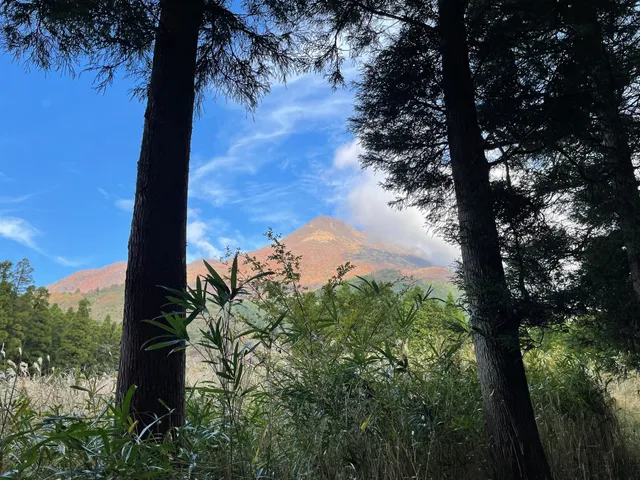
West Trailhead of Mount Yufu
Yufuincho Kawakami, Yufu, Oita 879-5102, Japan
4.3(24)
Open until 12:00 AM
Save
spot
spot
Ratings & Description
Info
Outdoor
Adventure
Scenic
Off the beaten path
attractions: Kinrin Lake, LA RUCHE Gallery & Shop, Yufuin Showa Museum, Kinrin Lake, Tenso shrine (next to Kirin lake ), 湯布院のフクロウの森, Retro Motor Museum, Yunotsubo Street, Yufuin - a dream Square, Bussanji, restaurants: Caravan Coffee Yufuin, Yufumabushi Shin, Cafe La Ruche, ロッソ エ ビアンコ, Kappa Shokudo, 今泉堂 imaizumido, Restaurant Ranpusya, YunotakeAn, Cafe Tenjosajiki, Yufuin Kinsho Croquettes, local businesses: 菓匠 花より, 下ん湯, CAFE LA RUCHE Gallery & Shop, Hoteiya, BeeHoney, Yufuin Shochugura, Konjaku-an, Mamekichihonpo Yufuin (Ten), 鍵屋 Kagiya, Glass Forest Yufuin
Open hoursSee all hours
MonOpen 24 hoursOpen
Plan your stay

Pet-friendly Hotels in Yufu
Find a cozy hotel nearby and make it a full experience.

Affordable Hotels in Yufu
Find a cozy hotel nearby and make it a full experience.

The Coolest Hotels You Haven't Heard Of (Yet)
Find a cozy hotel nearby and make it a full experience.

Trending Stays Worth the Hype in Yufu
Find a cozy hotel nearby and make it a full experience.
Reviews
Live events
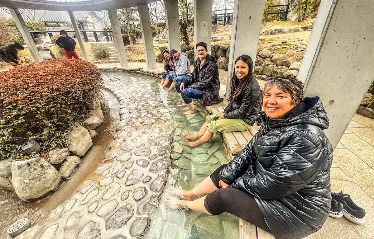
Enjoy the worlds best hot spring town, Jigoku Onsen, and Tetsuwa Onsen in Beppu by car or on foot We also recommend the sandy hot spring experience
Mon, Feb 9 • 10:30 PM
874-0000, Oita, Beppu, Japan
View details
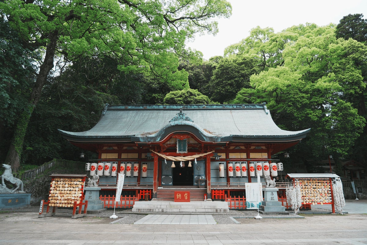
The Best Morning: Shrine Rituals & Ancient Steam
Thu, Feb 12 • 7:30 AM
874-0935, Oita, Beppu, Japan
View details
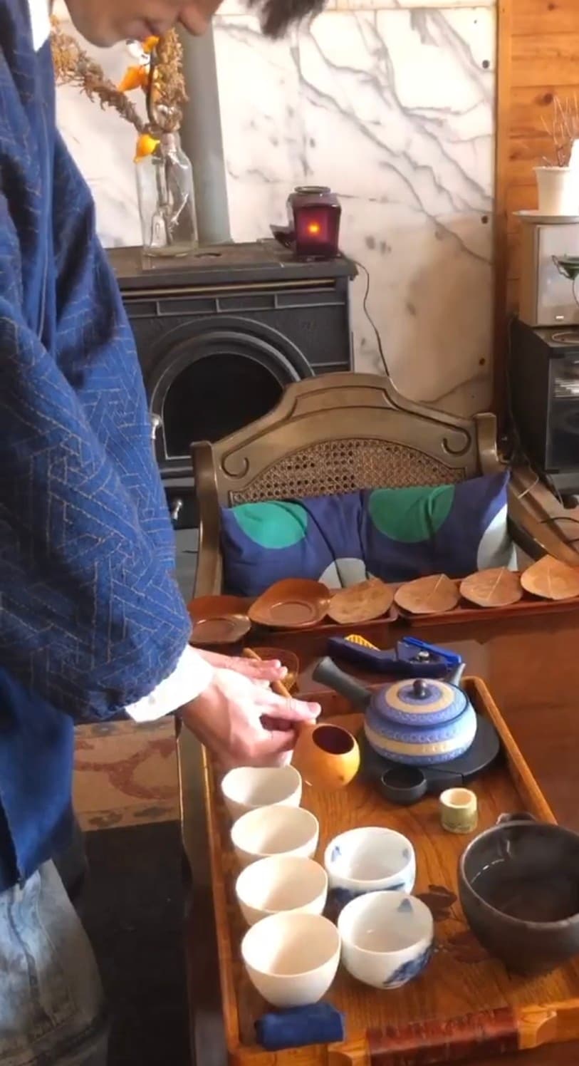
A soothing green tea retreat. Mindfulness in silence, drawing spring water to brew tea
Sun, Feb 15 • 10:00 AM
878-0402, Oita, Taketa, Japan
View details
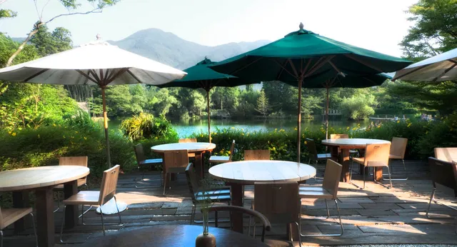
Nearby attractions of West Trailhead of Mount Yufu
Kinrin Lake
LA RUCHE Gallery & Shop
Yufuin Showa Museum
Kinrin Lake
Tenso shrine (next to Kirin lake )
湯布院のフクロウの森
Retro Motor Museum
Yunotsubo Street
Yufuin - a dream Square
Bussanji
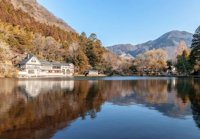
Kinrin Lake
4.1
(8.4K)
Open until 12:00 AM
Click for details
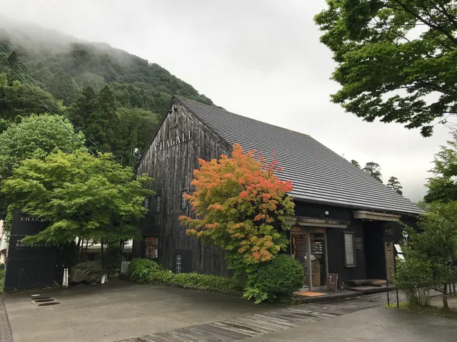
LA RUCHE Gallery & Shop
3.8
(130)
Closed
Click for details
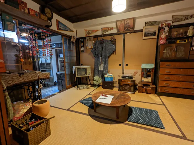
Yufuin Showa Museum
4.6
(604)
Closed
Click for details
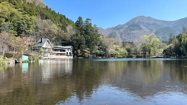
Kinrin Lake
4.3
(200)
Open 24 hours
Click for details
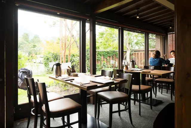
Nearby restaurants of West Trailhead of Mount Yufu
Caravan Coffee Yufuin
Yufumabushi Shin
Cafe La Ruche
ロッソ エ ビアンコ
Kappa Shokudo
今泉堂 imaizumido
Restaurant Ranpusya
YunotakeAn
Cafe Tenjosajiki
Yufuin Kinsho Croquettes
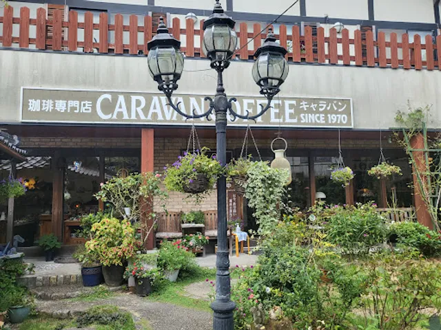
Caravan Coffee Yufuin
4.5
(232)
Closed
Click for details
Yufumabushi Shin
4.1
(1.2K)
Closed
Click for details
Cafe La Ruche
4.3
(473)
Closed
Click for details
ロッソ エ ビアンコ
4.9
(233)
Closed
Click for details
Nearby local services of West Trailhead of Mount Yufu
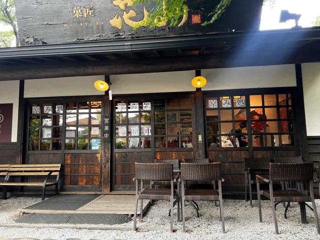
菓匠 花より
下ん湯
CAFE LA RUCHE Gallery & Shop
Hoteiya
BeeHoney
Yufuin Shochugura
Konjaku-an
Mamekichihonpo Yufuin (Ten)
鍵屋 Kagiya
Glass Forest Yufuin
菓匠 花より
4.1
(208)
Click for details
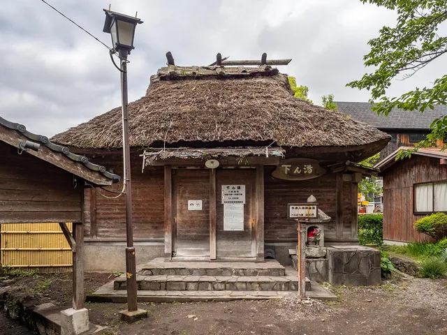
下ん湯
4.2
(163)
Click for details
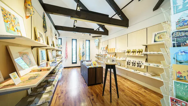
CAFE LA RUCHE Gallery & Shop
3.8
(112)
Click for details
Hoteiya
4.6
(198)
Click for details