Marye's Heights things to do, attractions, restaurants, events info and trip planning
Basic Info
Marye's Heights
514-592 Sunken Rd, Fredericksburg, VA 22401
4.9(15)
Open until 12:00 AM
Save
spot
spot
Ratings & Description
Info
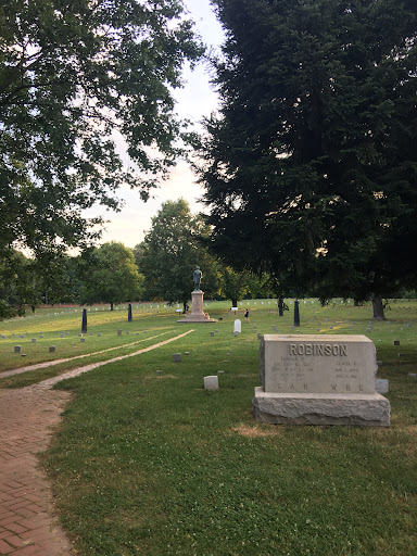
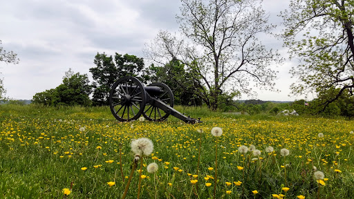
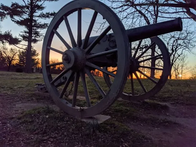
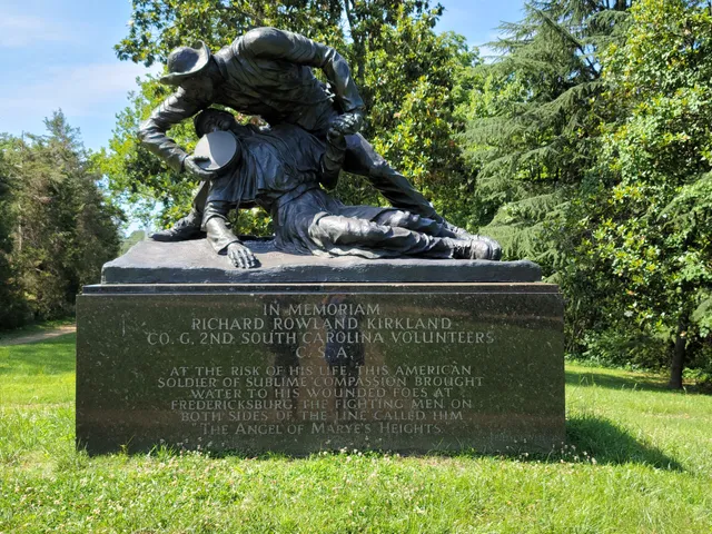
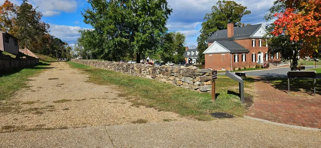
The Battle of Fredericksburg was fought December 11–15, 1862, in and around Fredericksburg, Virginia, in the Eastern Theater of the American Civil War.
Cultural
Outdoor
Scenic
Family friendly
attractions: Fredericksburg and Spotsylvania National Military Park, Fredericksburg Battlefield Visitor Center, Everybody Drum, Maury Stadium, LibertyTown Arts Workshop, Hurkamp Park, University of Mary Washington, restaurants: Battlefield Restaurant, Sunken Well Tavern, Eats Burgers, The Soup and Taco 2, Freddy Donuts, Cheekys, Mellow Mushroom Fredericksburg, Colonial Tavern, Sedona Taphouse, Primavera Pizzeria & Grill, local businesses: Picket Post, Mike's Tire Center, RockIT Repairs - Cell Phones | Tablets | Laptops | Mac | We Fix It, Safa Halal Meats, Techs In the Burg LLC, Fredericksburg, VA Farmers Market, Route 17 auto Mechanic and parts LLC
Open hoursSee all hours
TueOpen 24 hoursOpen
Plan your stay

Pet-friendly Hotels in Fredericksburg
Find a cozy hotel nearby and make it a full experience.

Affordable Hotels in Fredericksburg
Find a cozy hotel nearby and make it a full experience.

The Coolest Hotels You Haven't Heard Of (Yet)
Find a cozy hotel nearby and make it a full experience.

Trending Stays Worth the Hype in Fredericksburg
Find a cozy hotel nearby and make it a full experience.
Reviews
Live events

Fredericksburg, VA Murder Mystery 2: Crime on Date Night!
Sun, Feb 1 • 12:00 AM
1119 Sophia St, Fredericksburg, VA 22401, USA, 22401
View details

Family Readiness Advisor & Assistant Training
Tue, Feb 24 • 10:00 AM
2034 Barnett Avenue Quantico, VA 22134
View details

Girl Scouts Meet & Greet: Howell Branch Library
Tue, Feb 24 • 6:00 PM
806 Lyons Boulevard Fredericksburg, VA 22406
View details
Nearby attractions of Marye's Heights
Fredericksburg and Spotsylvania National Military Park
Fredericksburg Battlefield Visitor Center
Everybody Drum
Maury Stadium
LibertyTown Arts Workshop
Hurkamp Park
University of Mary Washington
Fredericksburg and Spotsylvania National Military Park
4.7
(772)
Closed
Click for details
Fredericksburg Battlefield Visitor Center
4.8
(637)
Closed
Click for details
Everybody Drum
4.9
(17)
Closed
Click for details

Maury Stadium
4.3
(43)
Open 24 hours
Click for details
Nearby restaurants of Marye's Heights
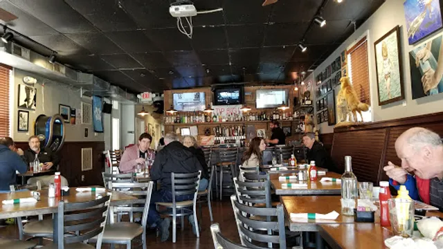
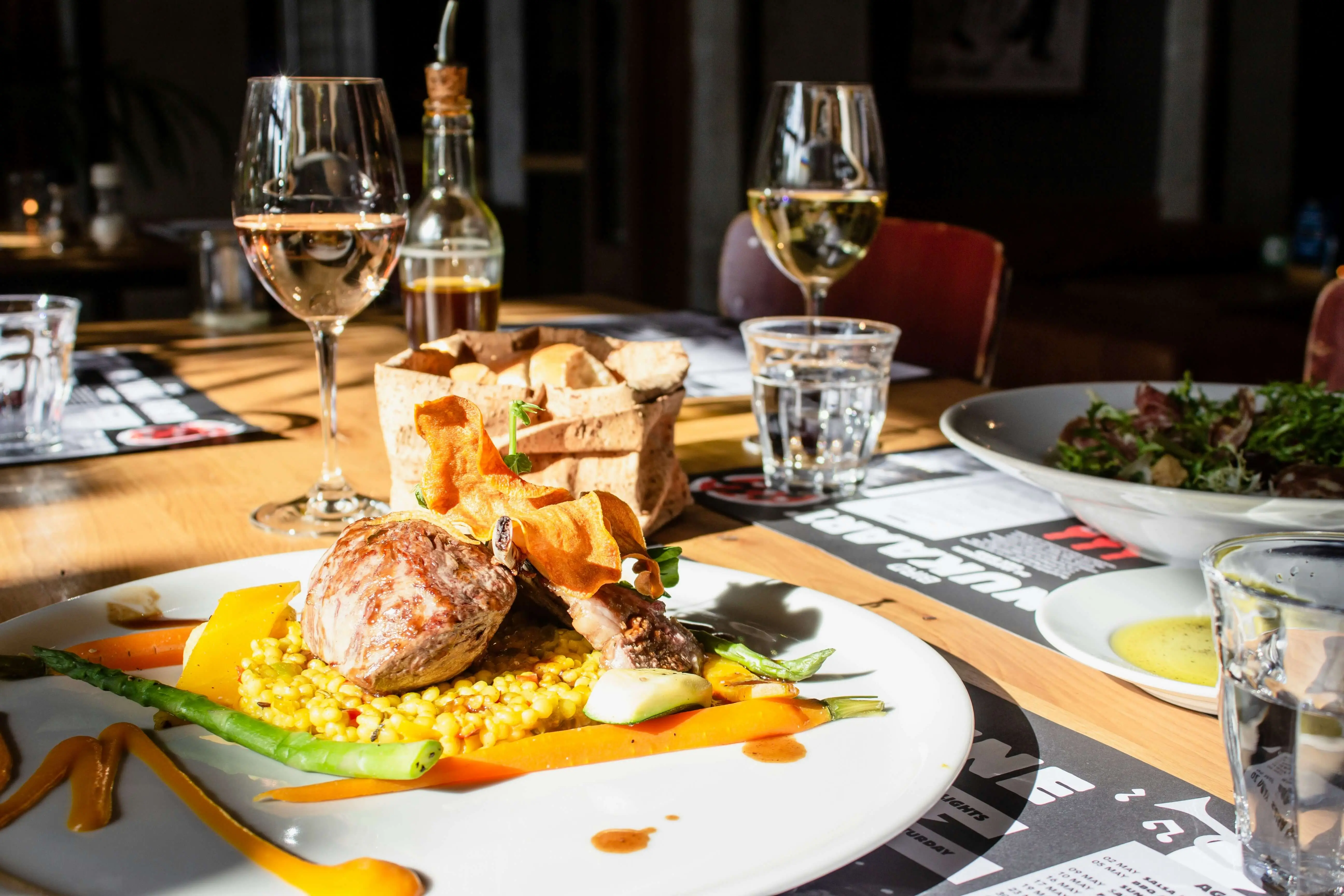
Battlefield Restaurant
Sunken Well Tavern
Eats Burgers
The Soup and Taco 2
Freddy Donuts
Cheekys
Mellow Mushroom Fredericksburg
Colonial Tavern
Sedona Taphouse
Primavera Pizzeria & Grill
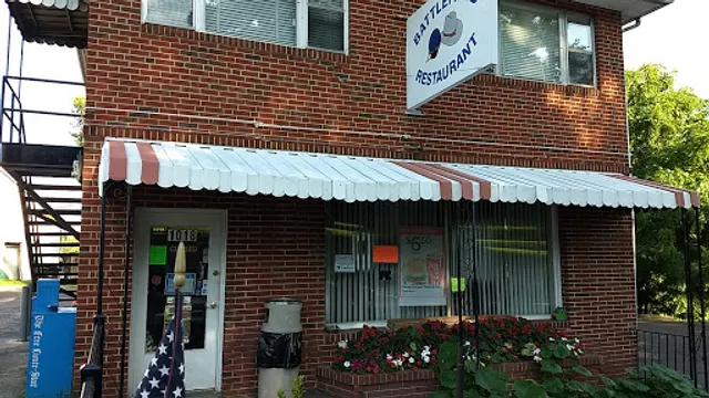
Battlefield Restaurant
4.6
(277)
$
Closed
Click for details
Sunken Well Tavern
4.4
(562)
$
Closed
Click for details
Eats Burgers
4.3
(299)
$
Closed
Click for details

The Soup and Taco 2
4.6
(331)
$
Open until 12:00 AM
Click for details
Nearby local services of Marye's Heights
Picket Post
Mike's Tire Center
RockIT Repairs - Cell Phones | Tablets | Laptops | Mac | We Fix It
Safa Halal Meats
Techs In the Burg LLC
Fredericksburg, VA Farmers Market
Route 17 auto Mechanic and parts LLC
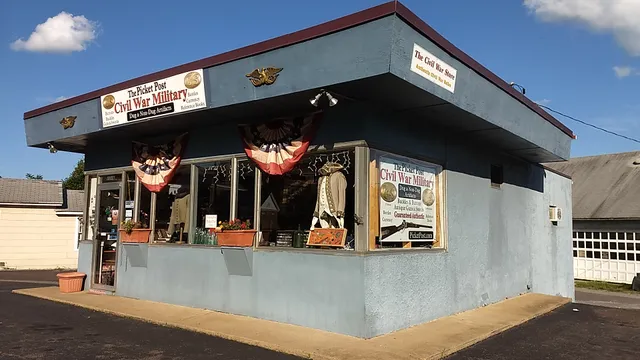
Picket Post
4.5
(25)
Click for details
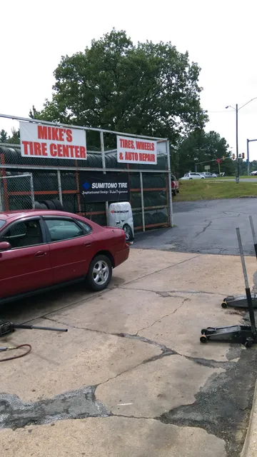
Mike's Tire Center
4.6
(105)
Click for details
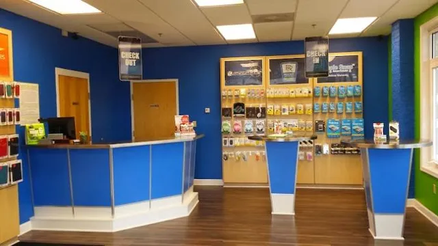
RockIT Repairs - Cell Phones | Tablets | Laptops | Mac | We Fix It
4.4
(236)
Click for details

Safa Halal Meats
2.5
(53)
Click for details


The hit list

Plan your trip with Wanderboat
Welcome to Wanderboat AI, your AI search for local Eats and Fun, designed to help you explore your city and the world with ease.
Powered by Wanderboat AI trip planner.