Geographical Association of Egypt things to do, attractions, restaurants, events info and trip planning
Basic Info
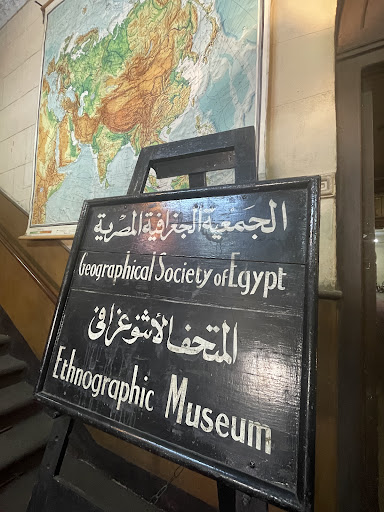
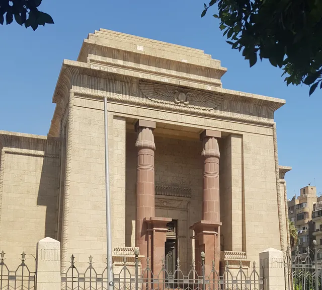
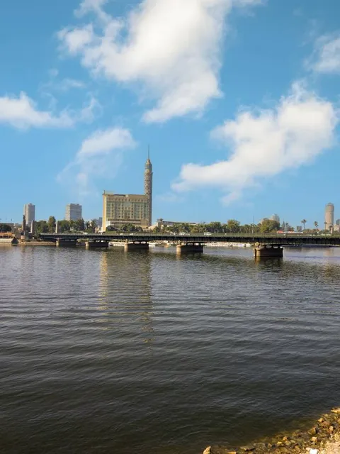
Geographical Association of Egypt
109 شارع القصر العيني، مدخل مجلس النواب, Cairo Governorate, Egypt
4.5(94)
Open until 12:00 AM
Save
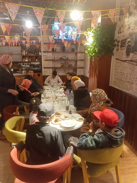
spot
spot
Ratings & Description
Info
Cultural
Accessibility
Off the beaten path
attractions: Omar Makram Mosque, El- Tahrir Square, Nation's House Museum, Qasr Al-Nil Statues, Ramses II Obelisk, Talaat Harb Square, حى الغوريه, حديقة دار العلوم, Al Horreya Garden, El Andalos Park, restaurants: Oldish ( Restaurant & Cafe ), McDonald's Tahrir Branch, Hegazy Restaurant & Coffee Shop, Cilantro Tahrir, Taboula, Beano's, Escobar Restaurant - Egypt, Octa cafe and restaurant, Cairo Vista Restaurant & Bar, Qoya Restaurant & Lounge, local businesses: Tahrir Square Obelisk (مسلة ميدان التحرير), Mawlana Lounge and Cafe - كافية مولانا التحرير, Oum el Dounia Gallery, Qasr El Nil Bridge, ميدان التحرير, The Egyptian Museum in Cairo, Ramses II Obelisk, Tahrir Square, Abo Taleb, Cairo home
Phone
+20 2 27945450
Website
egyptiangs.com
Open hoursSee all hours
ThuClosedOpen
Plan your stay

Pet-friendly Hotels in Cairo
Find a cozy hotel nearby and make it a full experience.

Affordable Hotels in Cairo
Find a cozy hotel nearby and make it a full experience.

The Coolest Hotels You Haven't Heard Of (Yet)
Find a cozy hotel nearby and make it a full experience.

Trending Stays Worth the Hype in Cairo
Find a cozy hotel nearby and make it a full experience.
Reviews
Live events
Private tour to Giza Pyramids, Sphinx, ATVs& Lunch
Thu, Feb 26 • 8:00 AM
Qasr Ad Dobarah, Cairo Governorate, 11512, Egypt
View details

Local Cairo Walking & Food Tour
Sat, Feb 28 • 5:00 PM
Qasr Ad Dobarah, Cairo Governorate, 11562, Egypt
View details
Engage with Egyptian life & Bazzar
Thu, Feb 26 • 6:30 PM
As Sawabi, Cairo Governorate, 4331216, Egypt
View details
Nearby attractions of Geographical Association of Egypt
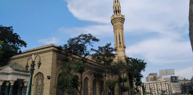
Omar Makram Mosque
El- Tahrir Square
Nation's House Museum
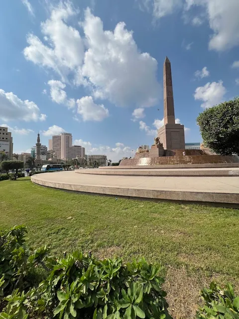
Qasr Al-Nil Statues
Ramses II Obelisk
Talaat Harb Square
حى الغوريه
حديقة دار العلوم
Al Horreya Garden
El Andalos Park
Omar Makram Mosque
4.6
(1.4K)
Open until 12:00 AM
Click for details
El- Tahrir Square
4.6
(2K)
Open 24 hours
Click for details
Nation's House Museum
4.3
(140)
Closed
Click for details
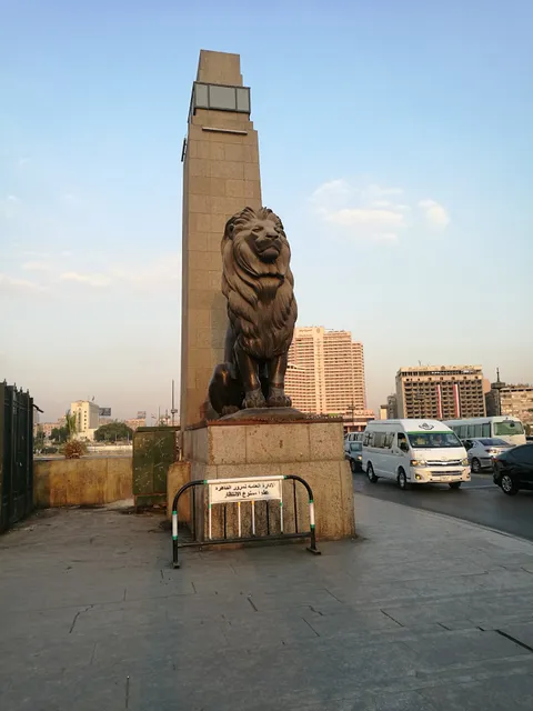
Qasr Al-Nil Statues
4.6
(1.2K)
Open until 12:00 AM
Click for details
Nearby restaurants of Geographical Association of Egypt
Oldish ( Restaurant & Cafe )
McDonald's Tahrir Branch
Hegazy Restaurant & Coffee Shop
Cilantro Tahrir
Taboula
Beano's
Escobar Restaurant - Egypt
Octa cafe and restaurant
Cairo Vista Restaurant & Bar
Qoya Restaurant & Lounge
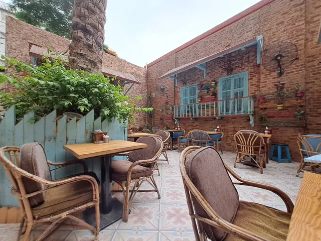
Oldish ( Restaurant & Cafe )
4.3
(3.3K)
Closed
Click for details
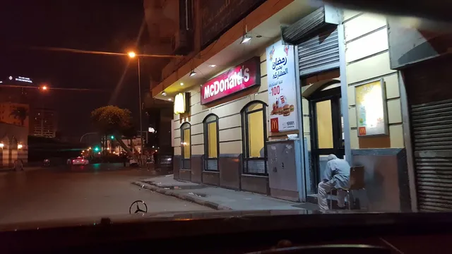
McDonald's Tahrir Branch
4.0
(3.1K)
Closed
Click for details
Hegazy Restaurant & Coffee Shop
4.6
(160)
Closed
Click for details
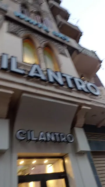
Cilantro Tahrir
4.2
(1.9K)
Closed
Click for details
Nearby local services of Geographical Association of Egypt
Tahrir Square Obelisk (مسلة ميدان التحرير)
Mawlana Lounge and Cafe - كافية مولانا التحرير
Oum el Dounia Gallery
Qasr El Nil Bridge
ميدان التحرير
The Egyptian Museum in Cairo
Ramses II Obelisk
Tahrir Square
Abo Taleb
Cairo home
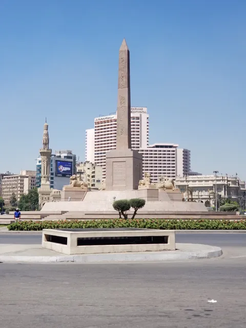
Tahrir Square Obelisk (مسلة ميدان التحرير)
4.5
(4.7K)
Click for details

Mawlana Lounge and Cafe - كافية مولانا التحرير
3.6
(453)
Click for details
Oum el Dounia Gallery
4.8
(201)
Click for details
Qasr El Nil Bridge
4.6
(1.8K)
Click for details