Okutama Mukashi Michi Trailhead things to do, attractions, restaurants, events info and trip planning
Basic Info
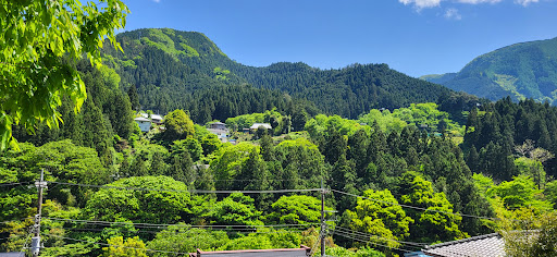
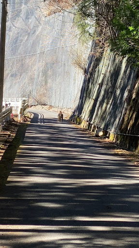
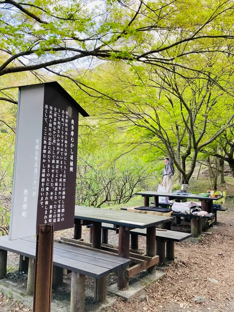
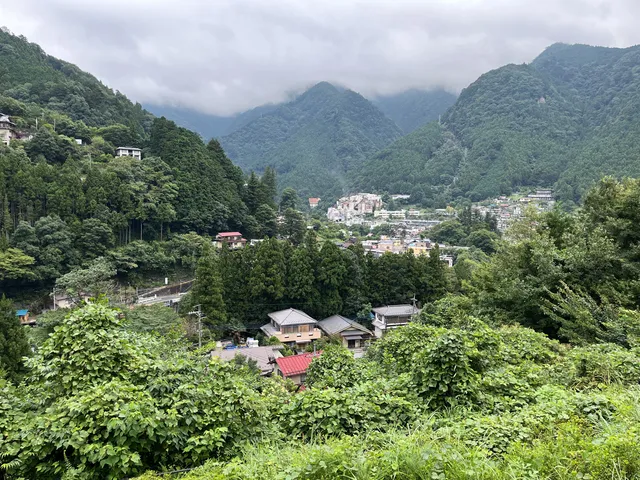
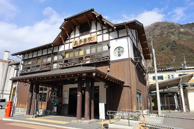
Okutama Mukashi Michi Trailhead
1462 Hikawa, Okutama, Nishitama District, Tokyo, Tokyo 198-0212, Japan
4.3(30)
Open 24 hours
Save
spot
spot
Ratings & Description
Info
Outdoor
Adventure
Scenic
Pet friendly
attractions: Hikawa Gorge, Okuhikawa Shrine, 氷川の三本杉, Okutamasogoundo Park, Hikawa International Fishing Spot, restaurants: Dozō Shokutei Mikawaya, VERTERE Taproom, Robata Akabeko, 薪窯PIZZA 鉢の木(ピッツァ・ハチノキ), Ranway - Japanese dashimaki omelette, PORT Okutama, GottaCoffee, Muraki, Wasabi Restaurant, Drapeau Bleu, local businesses: Oku-Tama Station, Delicious local food OKUTAMA Kitchen, Oku-Tama Station, Moegi no Yu Onsen, もえぎの湯 足湯
Website
okutama.gr.jp
Plan your stay

Pet-friendly Hotels in Tokyo
Find a cozy hotel nearby and make it a full experience.

Affordable Hotels in Tokyo
Find a cozy hotel nearby and make it a full experience.

The Coolest Hotels You Haven't Heard Of (Yet)
Find a cozy hotel nearby and make it a full experience.

Trending Stays Worth the Hype in Tokyo
Find a cozy hotel nearby and make it a full experience.
Reviews
Live events
Bouldering experience in a natural rocky area
Mon, Feb 16 • 10:45 AM
198-0173, Tokyo Prefecture, Ome, Japan
View details

Make tofu and enjoy vegan meal
Wed, Feb 18 • 10:30 AM
350-0462, Saitama, Moroyama, Iruma District, Japan
View details

Make traditional Miso and enjoy vegan meal
Fri, Feb 20 • 10:30 AM
350-0461, Saitama, Moroyama, Iruma District, Japan
View details
Nearby attractions of Okutama Mukashi Michi Trailhead
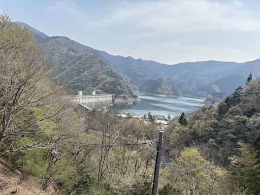
Hikawa Gorge
Okuhikawa Shrine
氷川の三本杉
Okutamasogoundo Park
Hikawa International Fishing Spot
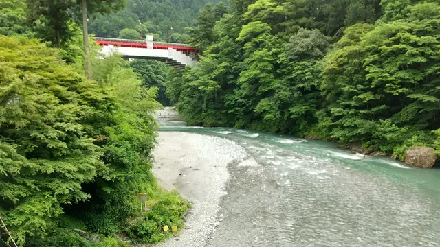
Hikawa Gorge
4.4
(173)
Open until 12:00 AM
Click for details
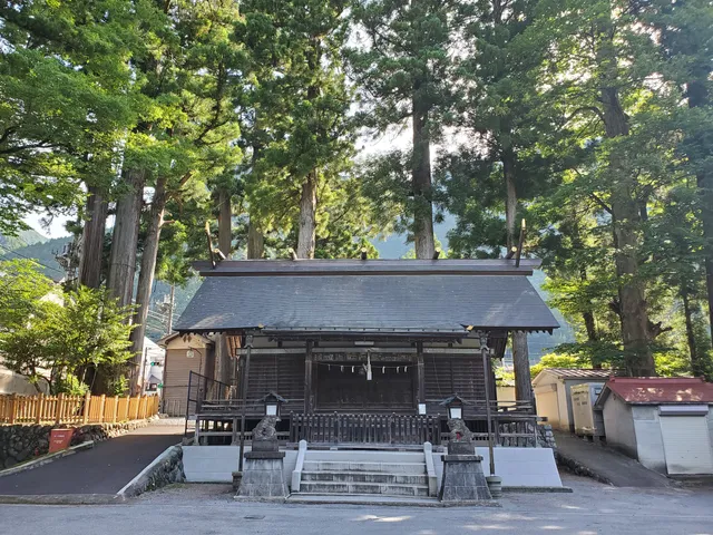
Okuhikawa Shrine
4.1
(76)
Open until 12:00 AM
Click for details
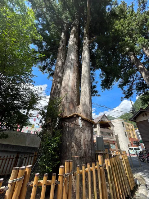
氷川の三本杉
3.7
(18)
Open 24 hours
Click for details
Okutamasogoundo Park
4.2
(33)
Open until 12:00 AM
Click for details
Nearby restaurants of Okutama Mukashi Michi Trailhead
Dozō Shokutei Mikawaya
VERTERE Taproom
Robata Akabeko
薪窯PIZZA 鉢の木(ピッツァ・ハチノキ)
Ranway - Japanese dashimaki omelette
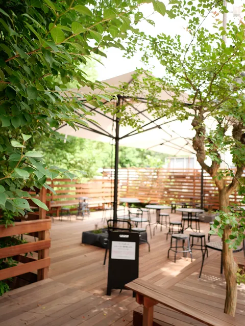
PORT Okutama
GottaCoffee
Muraki
Wasabi Restaurant
Drapeau Bleu
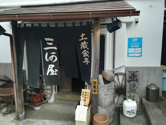
Dozō Shokutei Mikawaya
3.9
(27)
Click for details
VERTERE Taproom
4.5
(391)
Open until 12:00 AM
Click for details
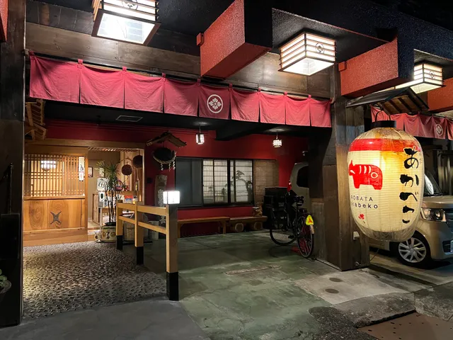
Robata Akabeko
4.6
(63)
Closed
Click for details
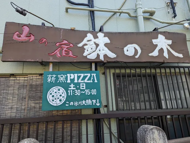
薪窯PIZZA 鉢の木(ピッツァ・ハチノキ)
4.5
(35)
Open until 12:00 AM
Click for details
Nearby local services of Okutama Mukashi Michi Trailhead
Oku-Tama Station
Delicious local food OKUTAMA Kitchen
Oku-Tama Station
Moegi no Yu Onsen
もえぎの湯 足湯
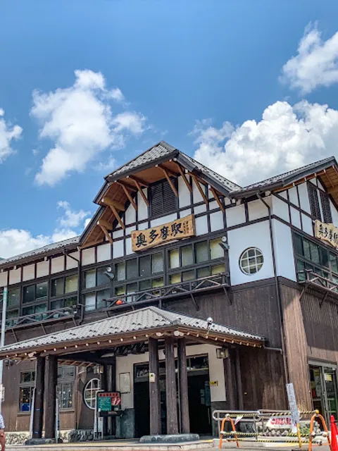
Oku-Tama Station
4.1
(227)
Click for details
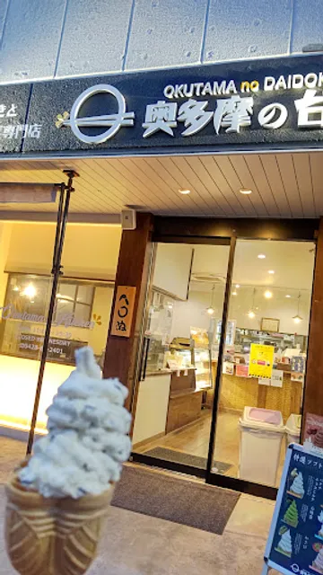
Delicious local food OKUTAMA Kitchen
4.1
(37)
Click for details
Oku-Tama Station
4.2
(53)
Click for details

Moegi no Yu Onsen
3.7
(992)
Click for details