Bridge of the Gods things to do, attractions, restaurants, events info and trip planning
Basic Info
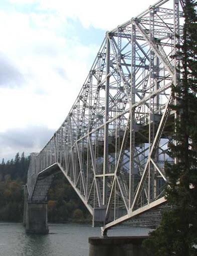
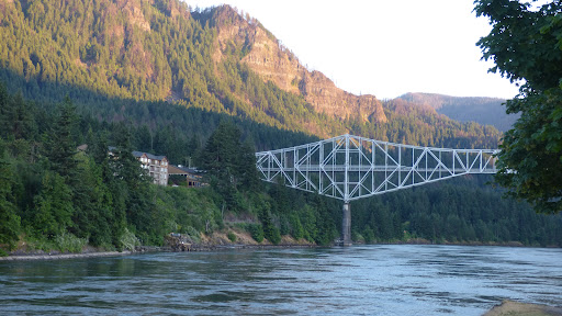
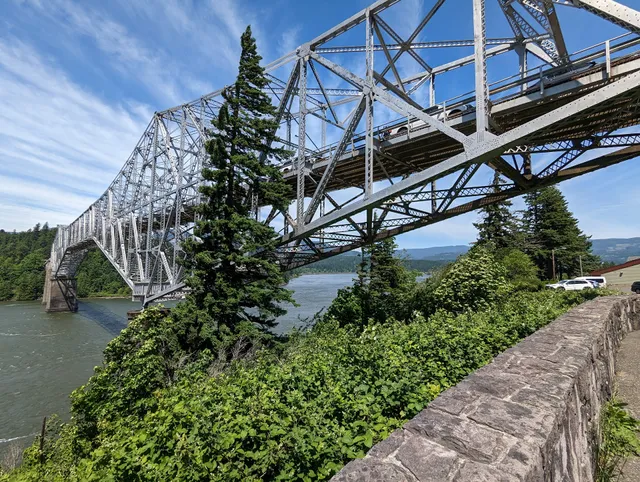
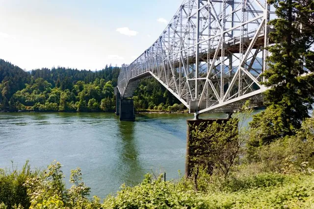
Bridge of the Gods
806 US-30, Cascade Locks, OR 97014
4.6(1.2K)
Open until 12:00 AM

tickets
Save
spot
spot
Ratings & Description
Info
Outdoor
Scenic
Family friendly
Pet friendly
attractions: Historic Columbia River Highway State Trail - Bridge of the Gods Trailhead, Cascade Locks Marine Park, Cascade Locks Historical Museum, Marine Park Pavilion, restaurants: Bridgeside, Brigham Fish Market, Thirsty Coffee Bar, Taqueria Antojitos Reyes, Whiskey Flats Tavern, Eastwind Drive-In, Gorges Beer Co. - Cascade Locks, Cascade Inn - Restaurant and Lounge, local businesses: Historic Columbia River Highway State Trail - Bridge of the Gods Trailhead, Thunder Island Brewing Co, Columbia Market, Buddy's Arcade, United States Postal Service, Lotus Locks, Port of Cascade Locks, Thunder Island
Phone
(541) 374-8619
Website
portofcascadelocks.gov
Open hoursSee all hours
WedOpen 24 hoursOpen
Plan your stay

Pet-friendly Hotels in Hood River
Find a cozy hotel nearby and make it a full experience.

Affordable Hotels in Hood River
Find a cozy hotel nearby and make it a full experience.

The Coolest Hotels You Haven't Heard Of (Yet)
Find a cozy hotel nearby and make it a full experience.

Trending Stays Worth the Hype in Hood River
Find a cozy hotel nearby and make it a full experience.
Reviews
Live events
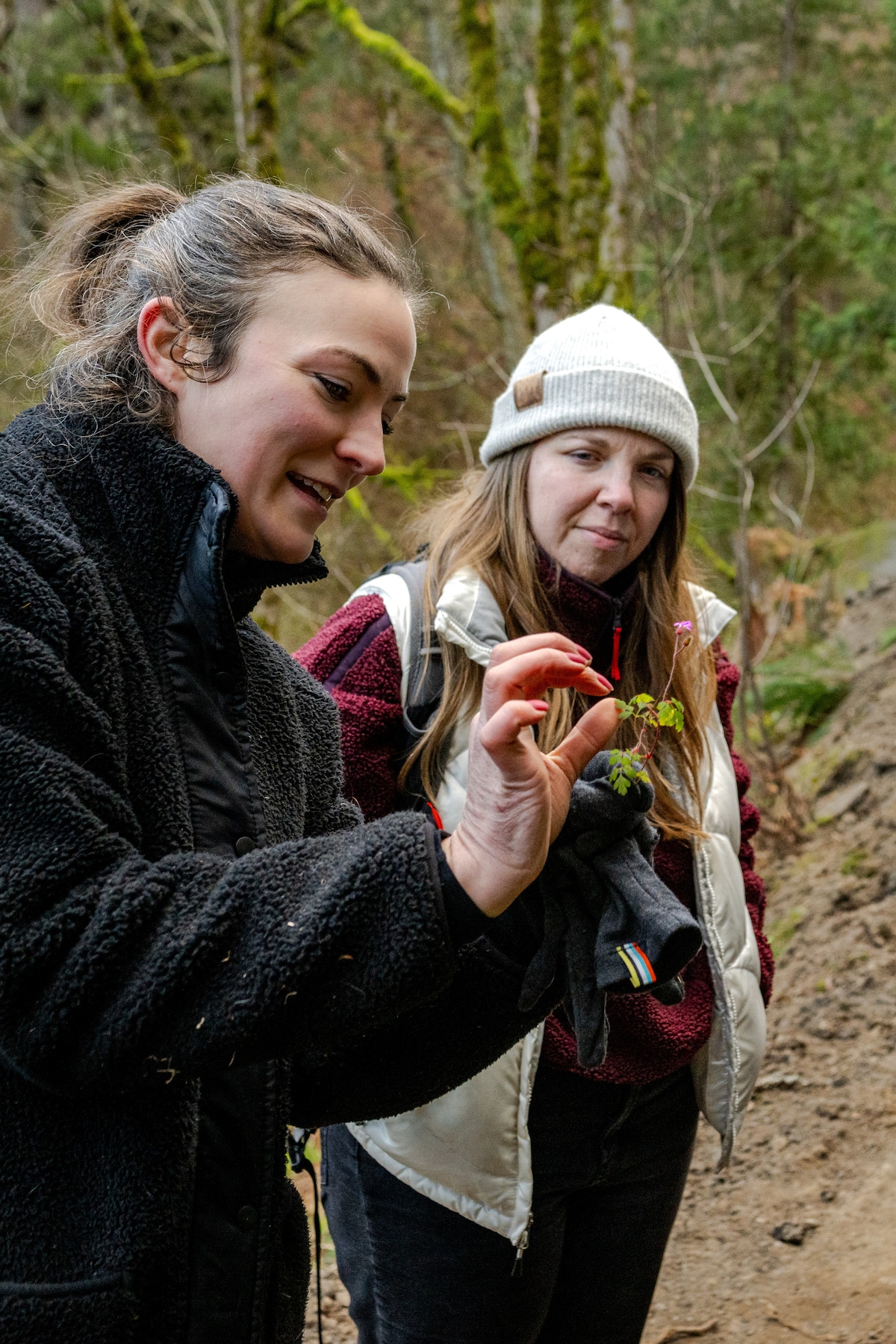
Forage for edible plants at Latourell Falls
Wed, Jan 28 • 10:00 AM
Corbett, Oregon, 97019
View details

Community Spaghetti Night
Fri, Jan 30 • 5:00 PM
10221 Washougal River Rd, Washougal, WA, United States
View details

Bluegrass/Old-Time Acoustic Jam Session
Mon, Feb 2 • 5:00 PM
Thunder Island Brewing Company, 735 Wanapa St, Cascade Locks, OR 97014, United States
View details
Nearby attractions of Bridge of the Gods
Historic Columbia River Highway State Trail - Bridge of the Gods Trailhead
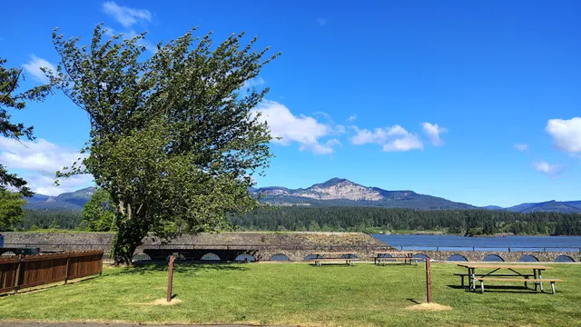
Cascade Locks Marine Park
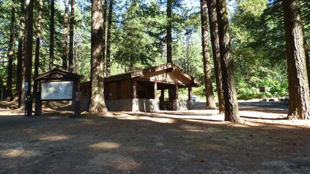
Cascade Locks Historical Museum
Marine Park Pavilion
Historic Columbia River Highway State Trail - Bridge of the Gods Trailhead
4.8
(39)
Open 24 hours
Click for details
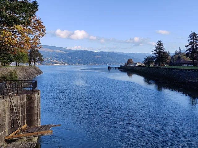
Cascade Locks Marine Park
4.7
(374)
Closed
Click for details
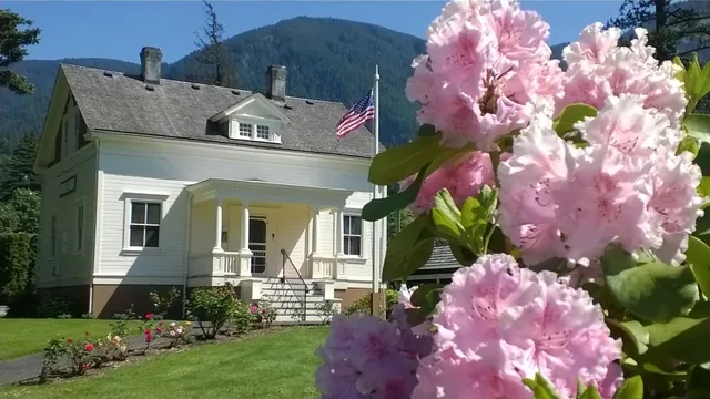
Cascade Locks Historical Museum
4.6
(36)
Open 24 hours
Click for details
Marine Park Pavilion
4.6
(151)
Open 24 hours
Click for details
Nearby restaurants of Bridge of the Gods
Bridgeside
Brigham Fish Market
Thirsty Coffee Bar
Taqueria Antojitos Reyes
Whiskey Flats Tavern
Eastwind Drive-In
Gorges Beer Co. - Cascade Locks
Cascade Inn - Restaurant and Lounge
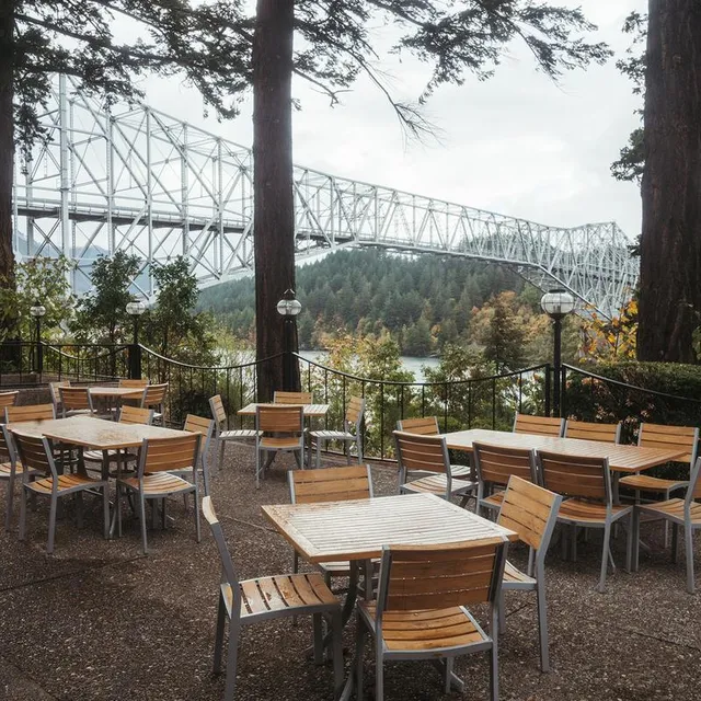
Bridgeside
4.2
(942)
$
Closed
Click for details
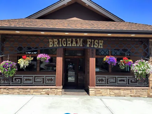
Brigham Fish Market
4.7
(521)
$
Closed
Click for details
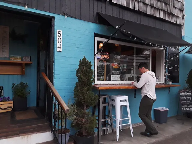
Thirsty Coffee Bar
4.4
(214)
$
Open until 12:00 AM
Click for details

Taqueria Antojitos Reyes
4.4
(13)
Closed
Click for details
Nearby local services of Bridge of the Gods
Historic Columbia River Highway State Trail - Bridge of the Gods Trailhead
Thunder Island Brewing Co
Columbia Market
Buddy's Arcade
United States Postal Service
Lotus Locks
Port of Cascade Locks
Thunder Island
Historic Columbia River Highway State Trail - Bridge of the Gods Trailhead
4.8
(34)
Click for details
Thunder Island Brewing Co
4.3
(637)
Click for details
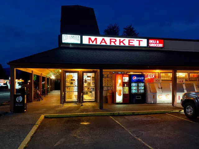
Columbia Market
3.9
(220)
Click for details

Buddy's Arcade
4.8
(27)
Click for details