Floodwall Park things to do, attractions, restaurants, events info and trip planning
Basic Info
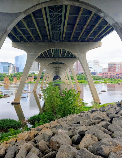
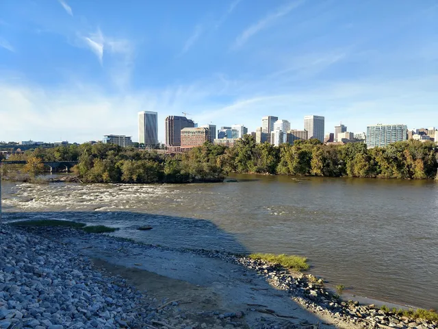
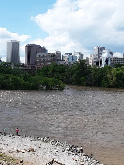
Floodwall Park
Richmond, VA 23224, United States
4.5(197)
Closed
Save
spot
spot
Ratings & Description
Info
Outdoor
Scenic
Pet friendly
Family friendly
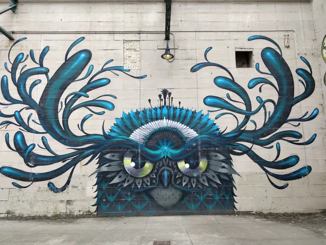
attractions: Art Works Inc, Mayo Bridge, Host of Sparrows Aerial Circus, Pipeline Overlook, Riverfront Canal Cruises, Canal Walk, Richmond Triple Railroad Bridge Crossing, Virginia Holocaust Museum, Pipeline Trail Parking, Manchester Bridge, restaurants: La Vera Pizza RVA, The Continental Manchester, African Queen Cuisine, Stock Bistro & Bar, Cafe Zata, RVA Cafe & Blasian, Chipotle Mexican Grill, Casa Del Barco - Canal Walk, JuiceLife RVA, Bottoms Up Pizza, local businesses: The Richmond Railroad Museum, The Underground Kitchen, Manchester Market, YMCA of Greater Richmond, TXTUR, Belle Isle Moonshine, The Canal Club, Brown's Island, James River Interstate Bridge, Computer Cave
Phone
+1 804-783-7450
Website
visitrichmondva.com
Open hoursSee all hours
Mon7:30 a.m. - 6:30 p.m.Closed
Plan your stay

Pet-friendly Hotels in Richmond
Find a cozy hotel nearby and make it a full experience.

Affordable Hotels in Richmond
Find a cozy hotel nearby and make it a full experience.

The Coolest Hotels You Haven't Heard Of (Yet)
Find a cozy hotel nearby and make it a full experience.

Trending Stays Worth the Hype in Richmond
Find a cozy hotel nearby and make it a full experience.
Reviews
Live events
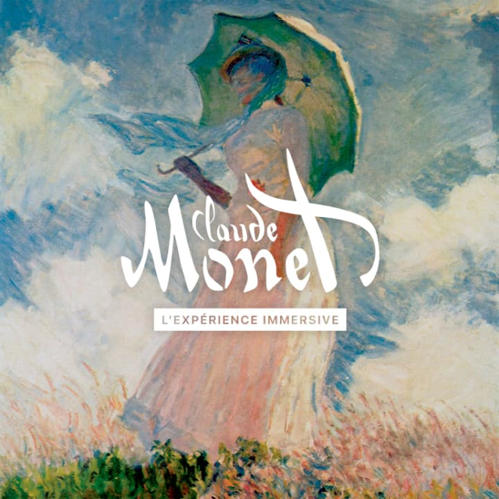
Monet: The Immersive Experience
Mon, Feb 23 • 10:00 AM
12151 West Broad Street, Henrico, 23233
View details

The Jury Experience – Death by AI: Will Richmond Deliver Justice?
Thu, Feb 26 • 6:00 PM
528 North 2nd Street, Richmond, 23219
View details

2026 Sorensen Legislative Reception
Tue, Feb 24 • 6:00 PM
800 East Canal Street Richmond, VA 23219
View details
Nearby attractions of Floodwall Park
Art Works Inc
Mayo Bridge
Host of Sparrows Aerial Circus
Pipeline Overlook
Riverfront Canal Cruises
Canal Walk
Richmond Triple Railroad Bridge Crossing
Virginia Holocaust Museum
Pipeline Trail Parking
Manchester Bridge
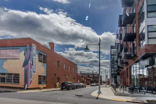
Art Works Inc
4.6
(168)
Open until 12:00 AM
Click for details
Mayo Bridge
4.1
(33)
Open 24 hours
Click for details

Host of Sparrows Aerial Circus
5.0
(25)
Closed
Click for details
Pipeline Overlook
4.6
(322)
Open until 12:00 AM
Click for details
Nearby restaurants of Floodwall Park
La Vera Pizza RVA
The Continental Manchester
African Queen Cuisine
Stock Bistro & Bar
Cafe Zata
RVA Cafe & Blasian
Chipotle Mexican Grill
Casa Del Barco - Canal Walk
JuiceLife RVA
Bottoms Up Pizza
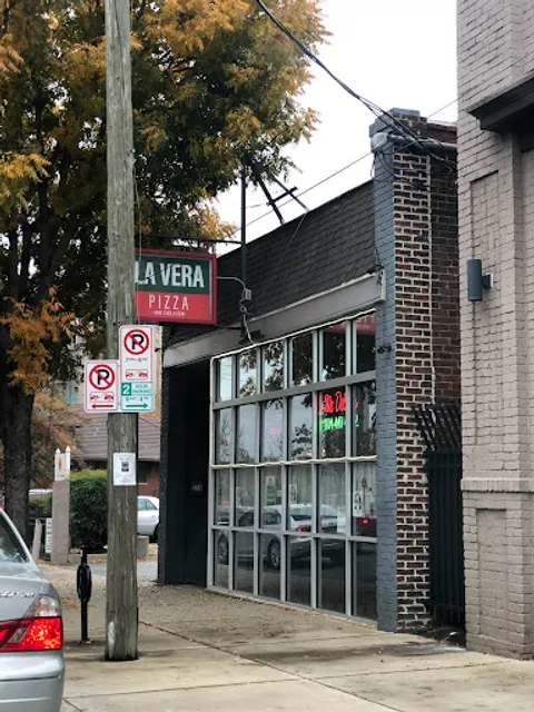
La Vera Pizza RVA
4.3
(243)
$
Open until 12:00 AM
Click for details
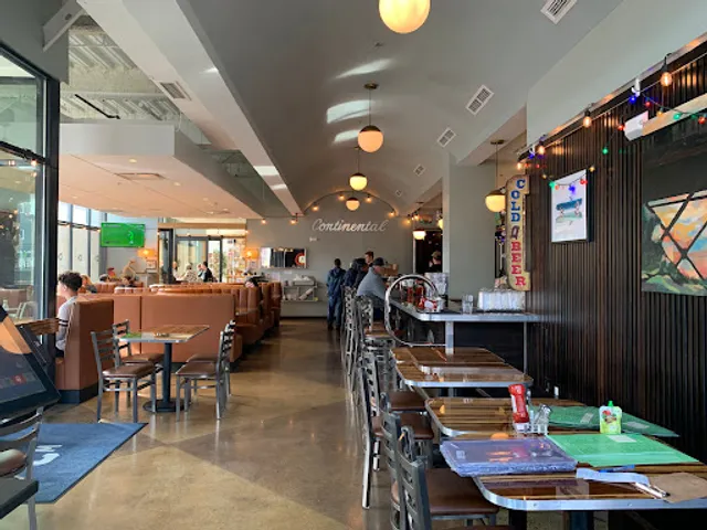
The Continental Manchester
4.5
(191)
$
Closed
Click for details

African Queen Cuisine
4.1
(23)
$$
Open until 12:00 AM
Click for details
Stock Bistro & Bar
4.8
(81)
$$
Closed
Click for details
Nearby local services of Floodwall Park
The Richmond Railroad Museum
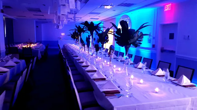
The Underground Kitchen
Manchester Market
YMCA of Greater Richmond
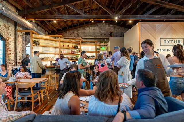
TXTUR
Belle Isle Moonshine
The Canal Club
Brown's Island
James River Interstate Bridge
Computer Cave
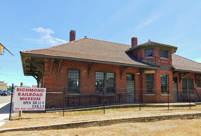
The Richmond Railroad Museum
4.6
(118)
Click for details
The Underground Kitchen
4.2
(12)
Click for details
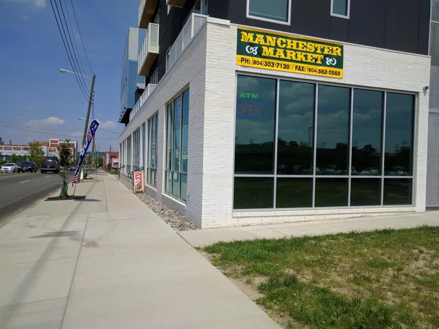
Manchester Market
2.5
(73)
Click for details
YMCA of Greater Richmond
4.5
(332)
Click for details


The hit list

Plan your trip with Wanderboat
Welcome to Wanderboat AI, your AI search for local Eats and Fun, designed to help you explore your city and the world with ease.
Powered by Wanderboat AI trip planner.