Rocca di Cefalù things to do, attractions, restaurants, events info and trip planning
Basic Info
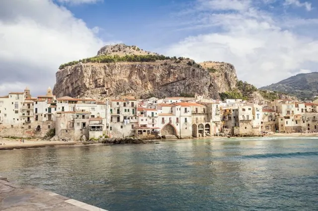
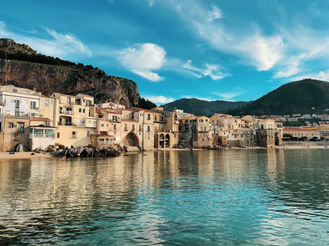
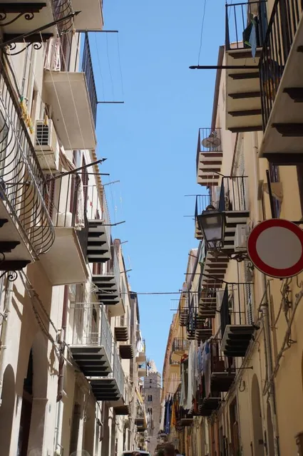
Rocca di Cefalù
90015 Cefalù, PA, Italy
4.6(218)
Save
spot
spot
Ratings & Description
Info
Outdoor
Adventure
Scenic
Cultural
Family friendly
attractions: Cathedral of Cefalù, Lavatoio Medievale Fiume Cefalino - Cefalù (pa), Piazza del Duomo, Porta Pescara (Porta Marina), Museo Mandralisca, Chiesa di Santo Stefano Protomartire del Purgatorio, Bastione di Capo Marchiafava, Osterio Magno, Cefalù4you, Cefalù Rock, restaurants: TINCHITE' Taverna & Putia, B.I.F. Braceria Italiana Fuorimondo, Ristorante La Siciliana Cefalù, Mandralisca Sedici (16), DUOMO cucina&cantina, Le Chat Noir, Cathedral Coffee, Badia - Bistrot, 🍋AMORELLI Graniteria Siciliana🍋, Passafiume Cantina Bistrot, local businesses: Porte Pescara, Enoteca Le Petit Tonneau, Cinema di Francesca, Cloister Of The Cathedral, Art Studio - SiciliaDipinta, Chiesa di Maria Santissima della Catena, Château de Cefalù, Rocca della Falconiera, Cefalù Train Station, Lungomare Cefalù
Plan your stay

Pet-friendly Hotels in Cefalù
Find a cozy hotel nearby and make it a full experience.

Affordable Hotels in Cefalù
Find a cozy hotel nearby and make it a full experience.

The Coolest Hotels You Haven't Heard Of (Yet)
Find a cozy hotel nearby and make it a full experience.

Trending Stays Worth the Hype in Cefalù
Find a cozy hotel nearby and make it a full experience.
Reviews
Live events
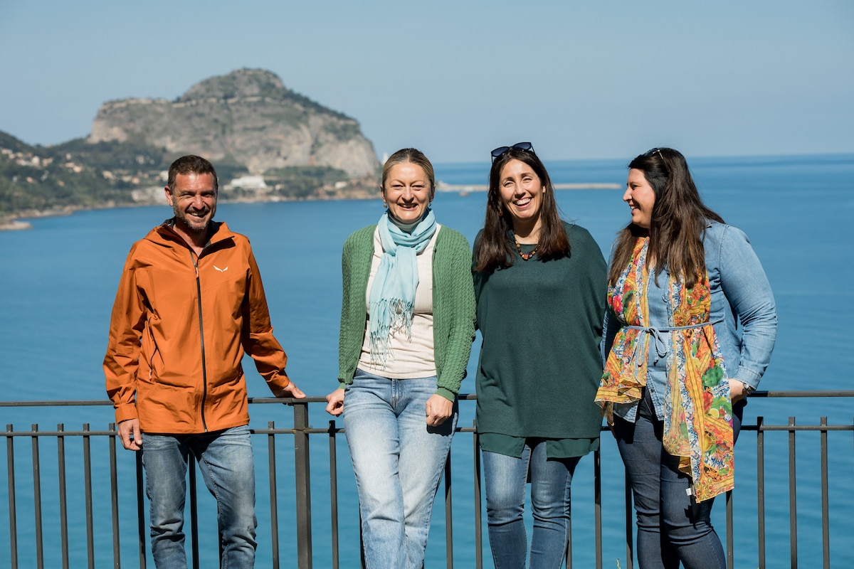
Extra virgin olive oil experience vicino a Cefalù
Mon, Feb 23 • 6:30 AM
90015, Sant'Ambrogio, Sicilia, Italy
View details
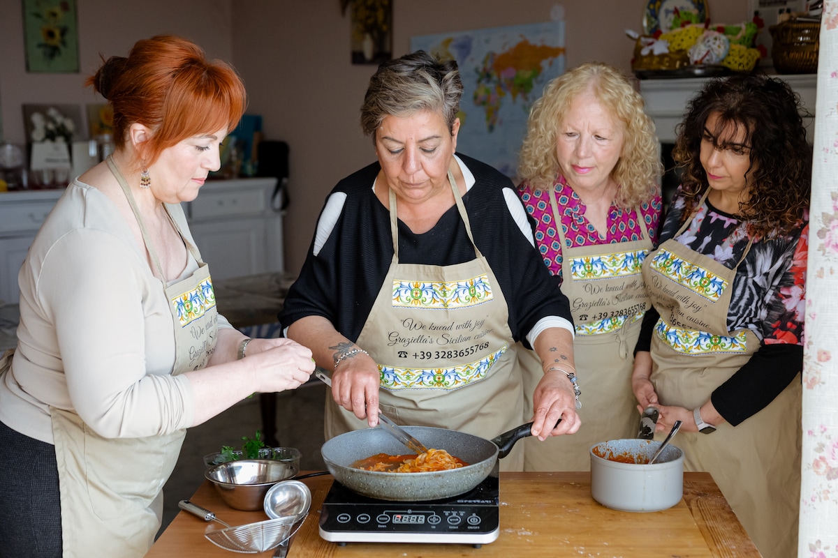
Dough-making at my house
Sat, Feb 21 • 3:00 PM
90010, Campofelice di Roccella, Sicilia, Italy
View details
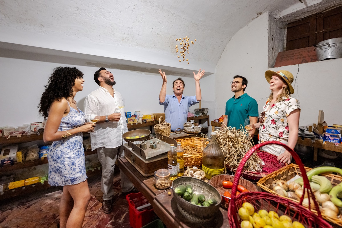
Cooking class and oil tasting in a Sicilian estate
Sat, Feb 21 • 6:30 PM
90024, Gangi, Sicilia, Italy
View details
Nearby attractions of Rocca di Cefalù
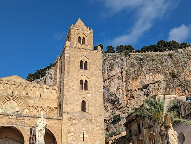
Cathedral of Cefalù
Lavatoio Medievale Fiume Cefalino - Cefalù (pa)
Piazza del Duomo
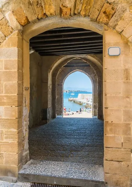
Porta Pescara (Porta Marina)
Museo Mandralisca
Chiesa di Santo Stefano Protomartire del Purgatorio
Bastione di Capo Marchiafava
Osterio Magno
Cefalù4you
Cefalù Rock
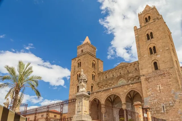
Cathedral of Cefalù
4.7
(5.3K)
Closed
Click for details
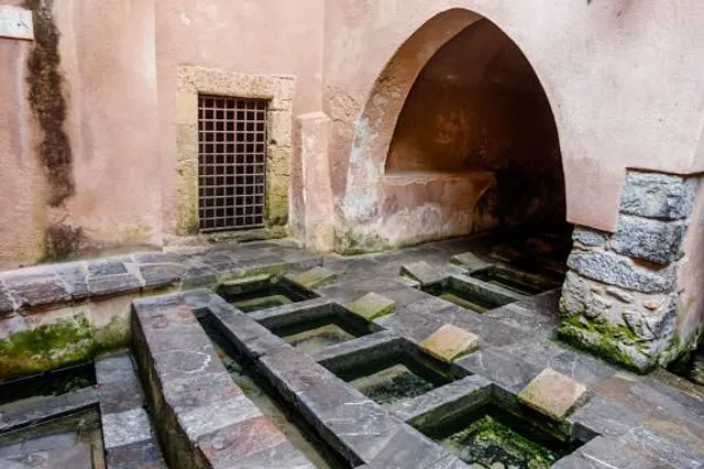
Lavatoio Medievale Fiume Cefalino - Cefalù (pa)
4.5
(2.1K)
Closed
Click for details
Piazza del Duomo
4.8
(106)
Open 24 hours
Click for details
Porta Pescara (Porta Marina)
4.7
(725)
Open until 12:00 AM
Click for details
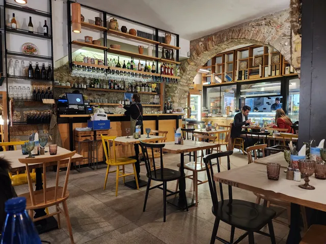
Nearby restaurants of Rocca di Cefalù
TINCHITE' Taverna & Putia
B.I.F. Braceria Italiana Fuorimondo
Ristorante La Siciliana Cefalù
Mandralisca Sedici (16)
DUOMO cucina&cantina
Le Chat Noir
Cathedral Coffee
Badia - Bistrot
🍋AMORELLI Graniteria Siciliana🍋
Passafiume Cantina Bistrot
TINCHITE' Taverna & Putia
4.4
(1.3K)
Closed
Click for details
B.I.F. Braceria Italiana Fuorimondo
4.7
(428)
Closed
Click for details
Ristorante La Siciliana Cefalù
4.1
(683)
Closed
Click for details
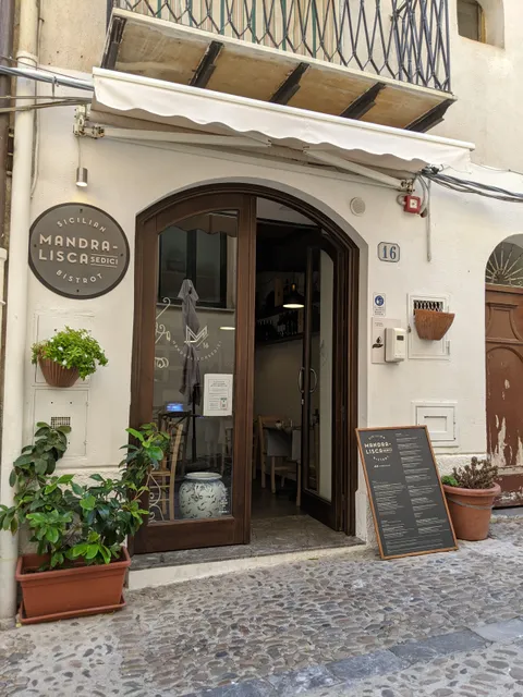
Mandralisca Sedici (16)
4.6
(440)
Closed
Click for details
Nearby local services of Rocca di Cefalù
Porte Pescara
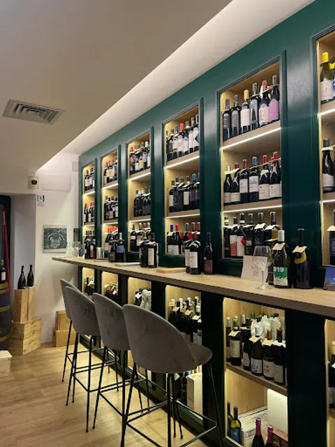
Enoteca Le Petit Tonneau
Cinema di Francesca
Cloister Of The Cathedral
Art Studio - SiciliaDipinta
Chiesa di Maria Santissima della Catena
Château de Cefalù
Rocca della Falconiera
Cefalù Train Station
Lungomare Cefalù
Porte Pescara
4.7
(550)
Click for details
Enoteca Le Petit Tonneau
4.4
(364)
Click for details
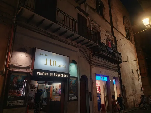
Cinema di Francesca
4.4
(61)
Click for details
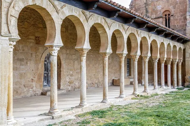
Cloister Of The Cathedral
4.0
(33)
Click for details