Lakeside Forest Wilderness Area things to do, attractions, restaurants, events info and trip planning
Basic Info
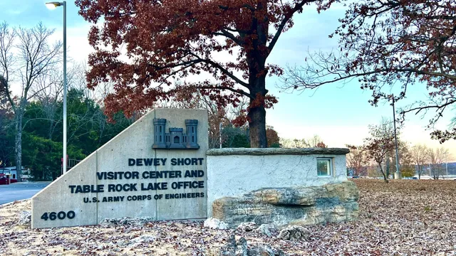
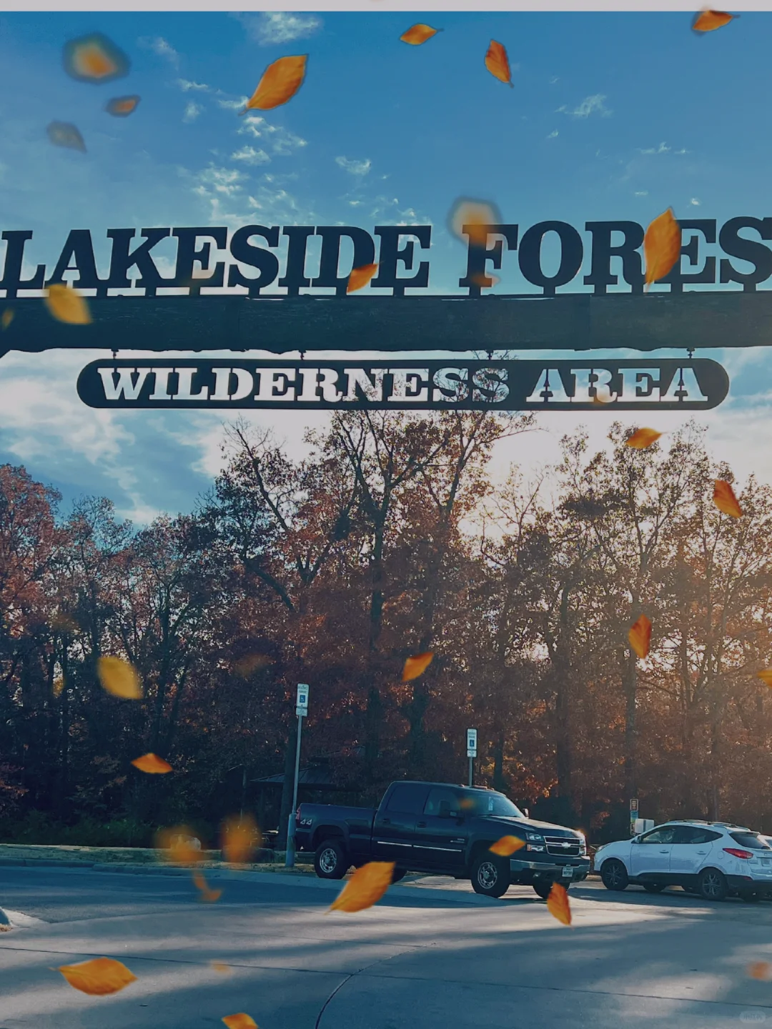
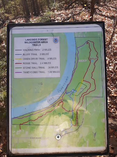
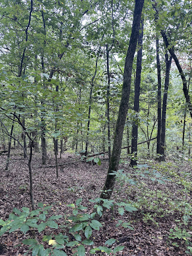
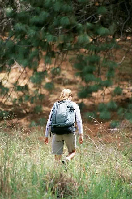
Lakeside Forest Wilderness Area
412 Owens Trail, Branson, MO 65616
4.7(379)
Closed
Save
spot
spot
Ratings & Description
Info
Outdoor
Adventure
Scenic
Relaxation
Family friendly
Pet friendly
attractions: Legends in Concert - Branson, MO, Branson Celebrity Car Museum, Fritz's Adventure, Branson Auto and Farm Museum, Apple Tree Mall, Cryptex Branson Escape Rooms, Veterans Memorial Museum, Small Cave, Grand Country Fun Spot, Branson's Wild World, restaurants: Hurts Donut Company, Thai Thai Cuisine, Jalapeño Mexican Cuisine And Bar, Billy Bob's Dairy Land, Fuddruckers, Panera Bread, Table Rock Coffee Roasters, Cold Stone Creamery, Bamyan Kabob, Applebee's Grill + Bar, local businesses: Dolly Parton's Stampede, The SIX Show, SkateWorld, Apple Tree Plaza, God and Country Theaters, Mexican Store Ana Maria and Meat Market, Everything Jesus, Trump store, Grand Country Music Hall, Grand Jubilee Show
Phone
(417) 335-2368
Website
bransonparksandrecreation.com
Open hoursSee all hours
Sun7 AM - 8 PMClosed
Plan your stay

Pet-friendly Hotels in Branson
Find a cozy hotel nearby and make it a full experience.

Affordable Hotels in Branson
Find a cozy hotel nearby and make it a full experience.

The Coolest Hotels You Haven't Heard Of (Yet)
Find a cozy hotel nearby and make it a full experience.

Trending Stays Worth the Hype in Branson
Find a cozy hotel nearby and make it a full experience.
Reviews
Live events

Designer Palms at the Branson Tri-Lakes Building & Home Show
Fri, Feb 6 • 8:00 AM
Chateau By The Lake Branson, Mo, 415 N State Hwy 265,Branson, Missouri, United States
View details
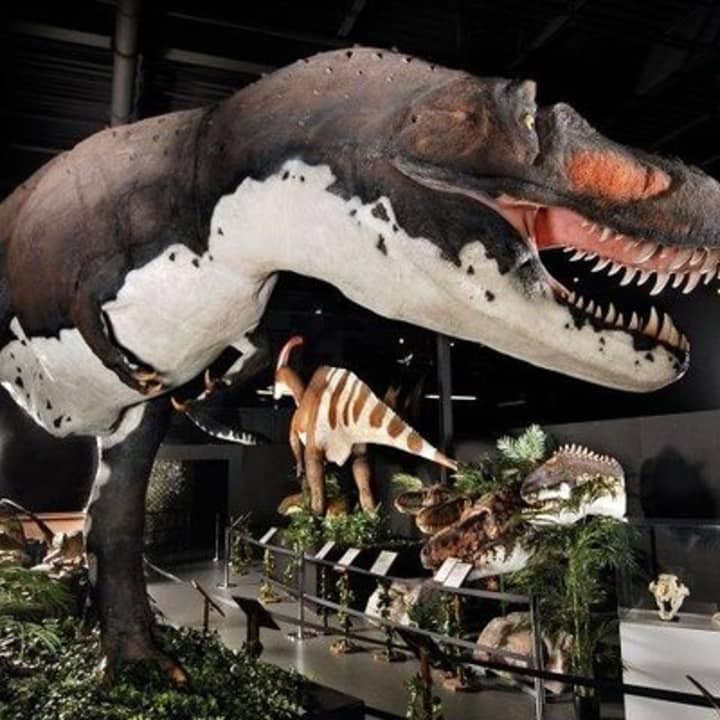
Branson Dinosaur Museum Admission Ticket
Sun, Feb 8 • 10:00 AM
3619 W 76 Country Blvd, Branson, 65616
View details

Exploring the Elements Soundbath
Sun, Feb 8 • 2:00 PM
2001 State Highway 248 Suite 4 , Branson, MO, United States, Missouri 65616
View details
Nearby attractions of Lakeside Forest Wilderness Area
Legends in Concert - Branson, MO
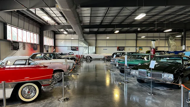
Branson Celebrity Car Museum
Fritz's Adventure
Branson Auto and Farm Museum
Apple Tree Mall
Cryptex Branson Escape Rooms
Veterans Memorial Museum
Small Cave
Grand Country Fun Spot
Branson's Wild World
Legends in Concert - Branson, MO
4.7
(1.5K)
Closed
Click for details
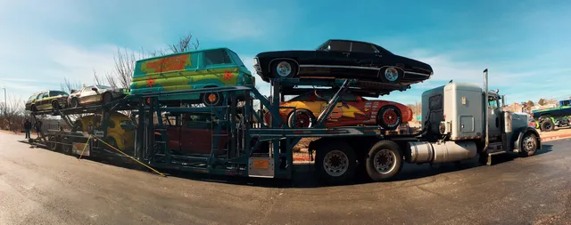
Branson Celebrity Car Museum
4.6
(890)
Closed
Click for details

Fritz's Adventure
4.5
(1.5K)
Closed
Click for details
Branson Auto and Farm Museum
4.6
(570)
Closed
Click for details
Nearby restaurants of Lakeside Forest Wilderness Area
Hurts Donut Company
Thai Thai Cuisine
Jalapeño Mexican Cuisine And Bar
Billy Bob's Dairy Land
Fuddruckers
Panera Bread
Table Rock Coffee Roasters
Cold Stone Creamery
Bamyan Kabob
Applebee's Grill + Bar
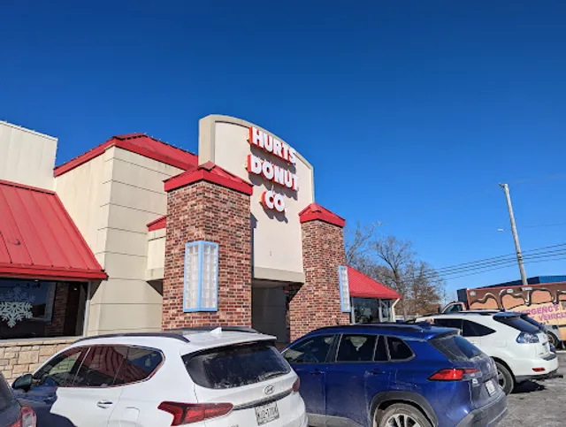
Hurts Donut Company
4.5
(1.6K)
$
Open until 12:00 AM
Click for details
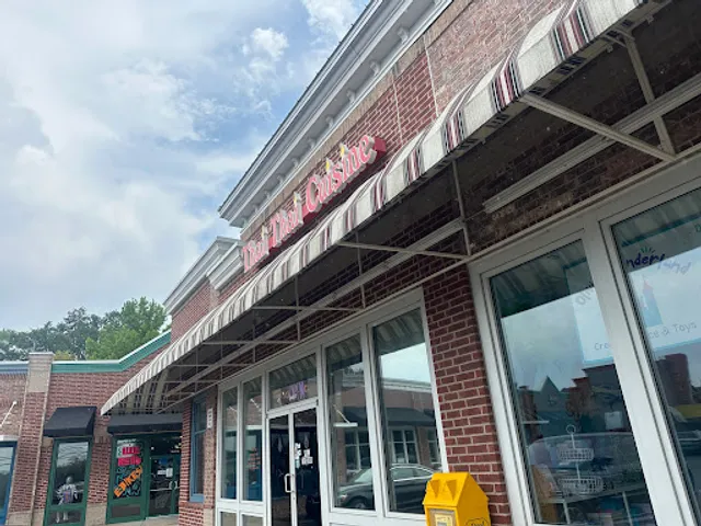
Thai Thai Cuisine
4.4
(725)
$
Closed
Click for details
Jalapeño Mexican Cuisine And Bar
4.6
(143)
$
Open until 12:00 AM
Click for details

Billy Bob's Dairy Land
4.6
(1.4K)
$
Closed
Click for details
Nearby local services of Lakeside Forest Wilderness Area
Dolly Parton's Stampede
The SIX Show
SkateWorld
Apple Tree Plaza
God and Country Theaters
Mexican Store Ana Maria and Meat Market
Everything Jesus
Trump store
Grand Country Music Hall
Grand Jubilee Show

Dolly Parton's Stampede
4.7
(6.6K)
Click for details

The SIX Show
4.7
(465)
Click for details

SkateWorld
4.4
(222)
Click for details
Apple Tree Plaza
4.6
(195)
Click for details