Waterfront Toronto things to do, attractions, restaurants, events info and trip planning
Basic Info
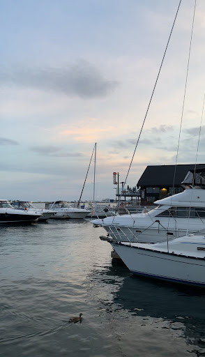
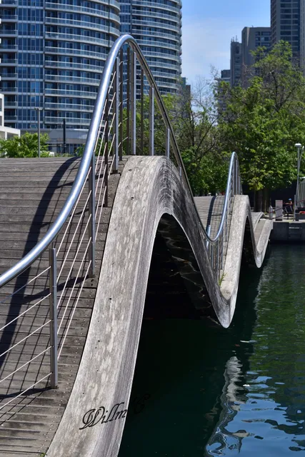
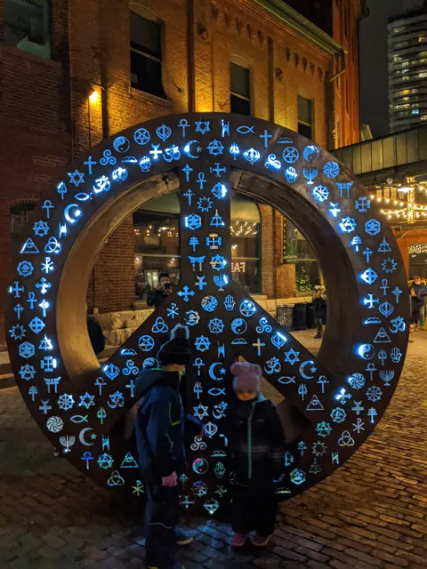
Waterfront Toronto
251 Queens Quay E #301, Toronto, ON M5A 0X3, Canada
4.8(101)
Open until 5:00 PM
Save
spot
spot
Ratings & Description
Info
Outdoor
Entertainment
Scenic
Family friendly
Accessibility
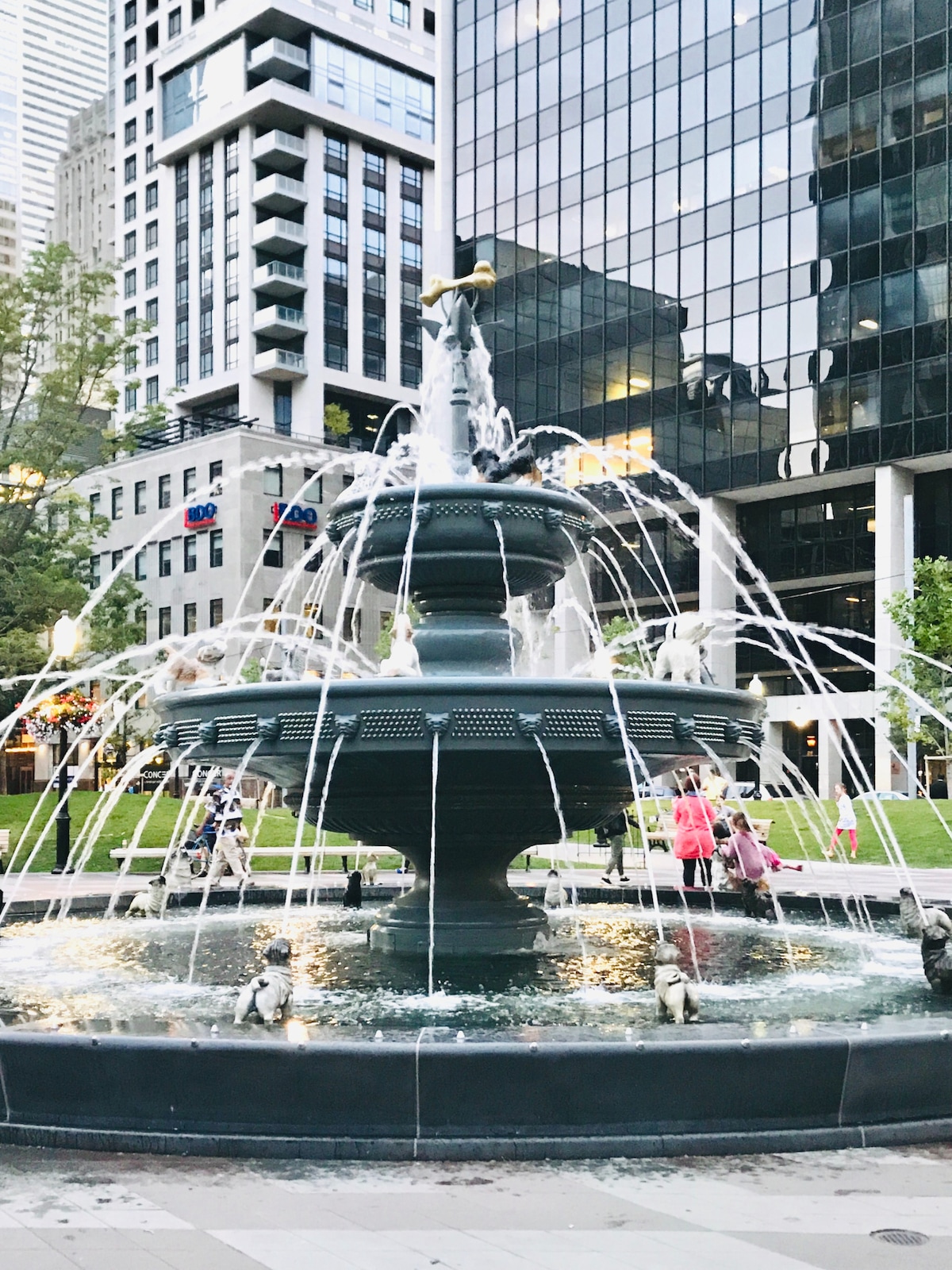
attractions: Sherbourne Waterfront Edge, The Distillery Historic District, Sugar Beach Park, The Haunted Walk of Toronto, Sugar Beach, Illuminarium Toronto, David Crombie Park, Go Tours Canada - Distillery District, Arta Gallery, Big Heart, restaurants: SIMONA, MOMO LOCO Dumplings and Wok, Cuckoo Cakery, Pizzaville, IRENE, Café Le Neuf, Popeyes Louisiana Kitchen, Lazy Barista, Madrina Bar y Tapas, Arvo Coffee, local businesses: KASE Insurance, The Distillery Winter Village, Candy Prom and Evening | Prom Dresses Toronto| Evening Dress |special occasions Dress Toronto, The Ordinary. DECIEM The Abnormal Beauty Company, Spirit of York Distillery Co., Archeo, Blackbird Vintage Finds, Soulpepper Theatre Co, Bergo Designs, Corktown Designs
Phone
+1 416-214-1344
Website
waterfrontoronto.ca
Open hoursSee all hours
Fri8:30 AM - 5 PMOpen
Plan your stay

Pet-friendly Hotels in Toronto
Find a cozy hotel nearby and make it a full experience.

Affordable Hotels in Toronto
Find a cozy hotel nearby and make it a full experience.

The Coolest Hotels You Haven't Heard Of (Yet)
Find a cozy hotel nearby and make it a full experience.

Trending Stays Worth the Hype in Toronto
Find a cozy hotel nearby and make it a full experience.
Reviews
Live events

Create a custom silver ring with a goldsmith
Fri, Feb 13 • 1:30 PM
Toronto, Ontario, M6J 0A8, Canada
View details
Show me the City
Fri, Feb 13 • 1:00 PM
Toronto, Ontario, M5J 1W9, Canada
View details

Make pottery on the wheel in beginners course
Sat, Feb 14 • 12:00 PM
Toronto, Ontario, M5G 1C3, Canada
View details
Nearby attractions of Waterfront Toronto
Sherbourne Waterfront Edge
The Distillery Historic District
Sugar Beach Park
The Haunted Walk of Toronto
Sugar Beach
Illuminarium Toronto
David Crombie Park
Go Tours Canada - Distillery District
Arta Gallery
Big Heart

Sherbourne Waterfront Edge
4.7
(49)
Open until 12:00 AM
Click for details

The Distillery Historic District
4.6
(10.2K)
Closed
Click for details

Sugar Beach Park
4.4
(1.1K)
Open until 11:00 PM
Click for details

The Haunted Walk of Toronto
4.8
(701)
Open until 5:00 PM
Click for details
Nearby restaurants of Waterfront Toronto
SIMONA
MOMO LOCO Dumplings and Wok
Cuckoo Cakery
Pizzaville
IRENE
Café Le Neuf
Popeyes Louisiana Kitchen
Lazy Barista
Madrina Bar y Tapas
Arvo Coffee

SIMONA
4.6
(645)
Closed
Click for details

MOMO LOCO Dumplings and Wok
4.4
(201)
Closed
Click for details

Cuckoo Cakery
4.9
(117)
Closed
Click for details

Pizzaville
4.0
(114)
Closed
Click for details
Nearby local services of Waterfront Toronto
KASE Insurance
The Distillery Winter Village
Candy Prom and Evening | Prom Dresses Toronto| Evening Dress |special occasions Dress Toronto
The Ordinary. DECIEM The Abnormal Beauty Company
Spirit of York Distillery Co.
Archeo
Blackbird Vintage Finds
Soulpepper Theatre Co
Bergo Designs
Corktown Designs

KASE Insurance
4.8
(267)
Click for details

The Distillery Winter Village
4.6
(345)
Click for details
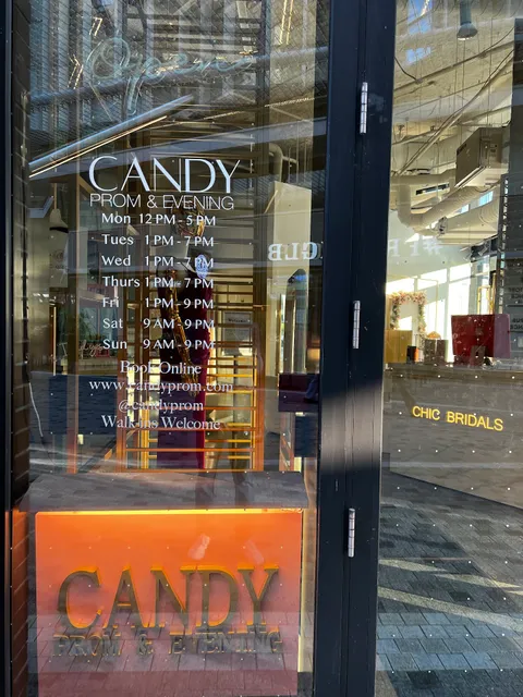
Candy Prom and Evening | Prom Dresses Toronto| Evening Dress |special occasions Dress Toronto
4.8
(182)
Click for details
The Ordinary. DECIEM The Abnormal Beauty Company
4.4
(179)
Click for details