Mill Ruins Park things to do, attractions, restaurants, events info and trip planning
Basic Info
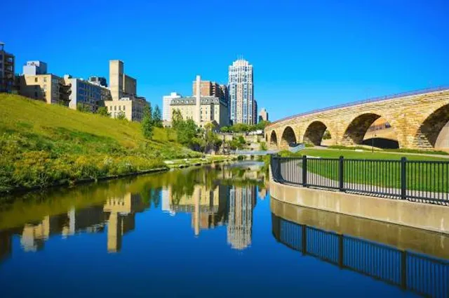
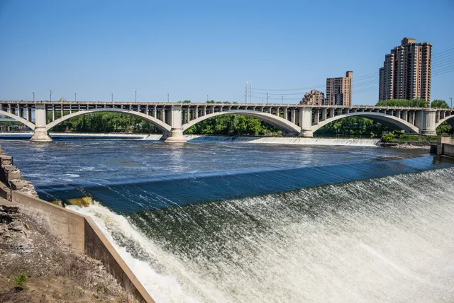
Mill Ruins Park
102 Portland Ave S, Minneapolis, MN 55401
4.7(1.4K)
Closed
Save
spot
spot
Ratings & Description
Info
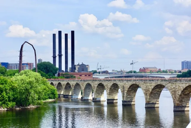
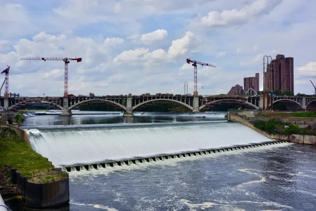
Mill Ruins Park is a park in downtown Minneapolis, Minnesota, United States, standing on the west side of Saint Anthony Falls on the Mississippi River and running from 3rd Ave. S. to about 9th Ave.
Cultural
Outdoor
Family friendly
Accessibility
attractions: Mill City Museum, Guthrie Theater, Central Mississippi Riverfront Regional Park, Stone Arch Bridge, Washburn A Mill, Gold Medal Flour Sign, Gold Medal Park, St. Anthony Falls Visitor Center, Father Hennepin Bluff Park, Guthrie Theater Bridge, restaurants: Kindee Thai Restaurant, Farmers Kitchen + Bar, Owamni by The Sioux Chef, La Madre, Sawatdee Thai Restaurant - Minneapolis, Mother Dough Bakery (Vicinity), Spice & Tonic - Indian Cuisine & Bar, Klassics Kitchen + Cocktails, Crooked Pint Ale House, Umbra Minneapolis, local businesses: Mill City Farmers Market, St. Anthony Falls Visitor Center, BRADLEY DOUGLAS SALON SPA, BRADLEY DOUGLAS SALON SPA, Saint Anthony Falls, Saint Anthony Falls, MacPhail Center For Music, People Serving People Inc, The Main Cinema, Samantha's Mini Spa
Phone
(612) 313-7793
Website
minneapolisparks.org
Open hoursSee all hours
Mon6 AM - 10 PMClosed
Plan your stay

Pet-friendly Hotels in Minneapolis
Find a cozy hotel nearby and make it a full experience.

Affordable Hotels in Minneapolis
Find a cozy hotel nearby and make it a full experience.

The Coolest Hotels You Haven't Heard Of (Yet)
Find a cozy hotel nearby and make it a full experience.

Trending Stays Worth the Hype in Minneapolis
Find a cozy hotel nearby and make it a full experience.
Reviews
Live events

The Jason Show - Live Audience Sign-Up
Mon, Feb 23 • 9:00 AM
11358 Viking Drive Eden Prairie, MN 55344
View details

Community Building Circle
Tue, Feb 24 • 3:00 PM
1201 89th Avenue Northeast Suite 300 Blaine, MN 55434
View details

Methodist Hospital Birth Center Tour
Tue, Feb 24 • 6:00 PM
6500 Excelsior Boulevard 3rd floor Hachiya Conference room St. Louis Park, MN 55426
View details
Nearby attractions of Mill Ruins Park
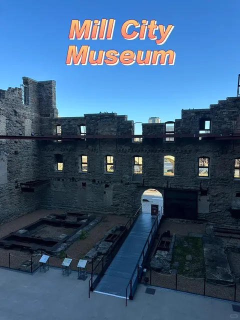
Mill City Museum
Guthrie Theater
Central Mississippi Riverfront Regional Park
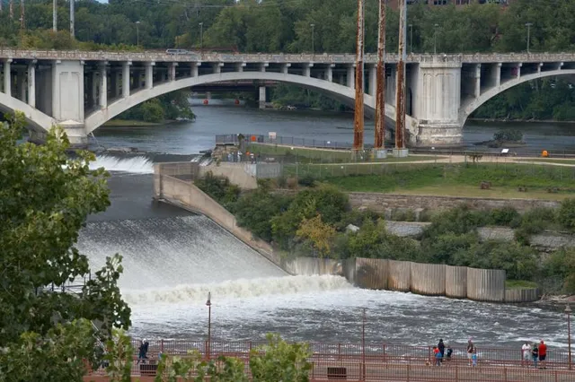
Stone Arch Bridge
Washburn A Mill
Gold Medal Flour Sign
Gold Medal Park
St. Anthony Falls Visitor Center
Father Hennepin Bluff Park
Guthrie Theater Bridge
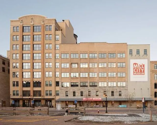
Mill City Museum
4.7
(1.4K)
Open until 12:00 AM
Click for details
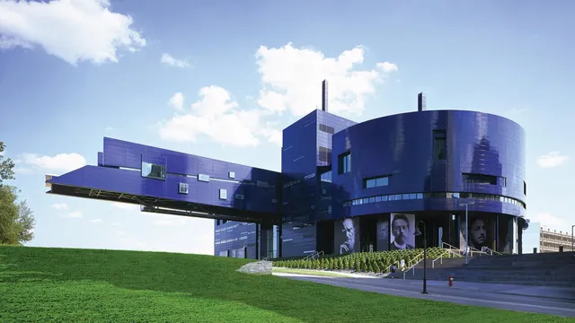
Guthrie Theater
4.8
(2.3K)
Open 24 hours
Click for details
Central Mississippi Riverfront Regional Park
4.8
(140)
Closed
Click for details

Stone Arch Bridge
4.8
(1.3K)
Closed
Click for details
Nearby restaurants of Mill Ruins Park
Kindee Thai Restaurant
Farmers Kitchen + Bar
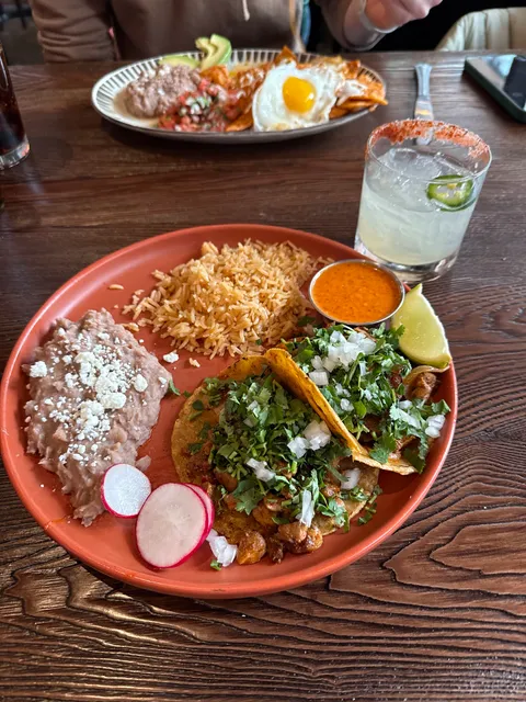
Owamni by The Sioux Chef
La Madre
Sawatdee Thai Restaurant - Minneapolis
Mother Dough Bakery (Vicinity)
Spice & Tonic - Indian Cuisine & Bar
Klassics Kitchen + Cocktails
Crooked Pint Ale House
Umbra Minneapolis
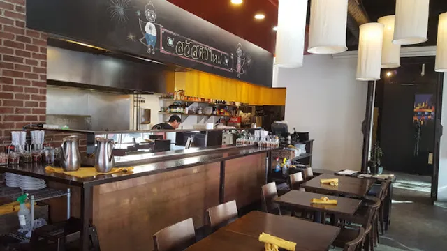
Kindee Thai Restaurant
4.0
(328)
$$
Closed
Click for details
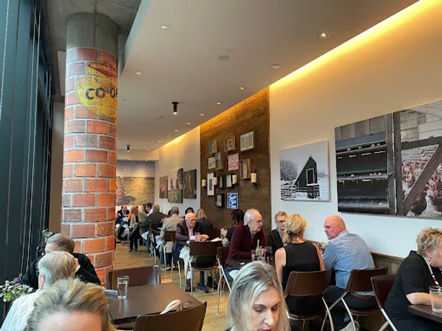
Farmers Kitchen + Bar
4.1
(167)
$$
Open until 12:00 AM
Click for details
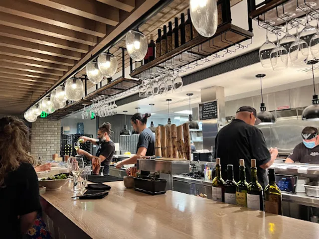
Owamni by The Sioux Chef
4.6
(1.3K)
$$$
Open until 12:00 AM
Click for details
La Madre
4.1
(162)
$$
Open until 12:00 AM
Click for details
Nearby local services of Mill Ruins Park
Mill City Farmers Market
St. Anthony Falls Visitor Center
BRADLEY DOUGLAS SALON SPA
BRADLEY DOUGLAS SALON SPA
Saint Anthony Falls
Saint Anthony Falls
MacPhail Center For Music
People Serving People Inc
The Main Cinema
Samantha's Mini Spa

Mill City Farmers Market
4.7
(287)
Click for details
St. Anthony Falls Visitor Center
4.4
(71)
Click for details

BRADLEY DOUGLAS SALON SPA
4.8
(691)
Click for details

BRADLEY DOUGLAS SALON SPA
4.7
(471)
Click for details